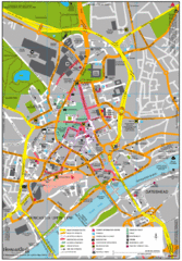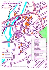
Central Rotherham Map
0 miles away
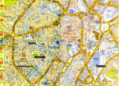
Sheffield City Center Map
6 miles away
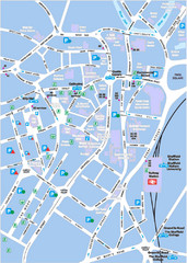
Sheffield City Map
City centre map of Sheffield, England. Shows parking, ATMs, and other points of interest.
6 miles away
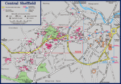
Central Sheffield Map
Map shows central Sheffield, England area. Bus stops and University of Sheffield parking areas...
6 miles away
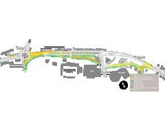
Bawtry Road Bus Lane Map
12 miles away
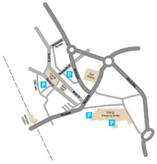
Wakefield Center Street Map
Crude street map of center of Wakefield, UK.
18 miles away
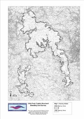
Bird Survey Map
Map of survey areas in the Peak District Moorland. Shows survey areas of 1990 and 2004.
19 miles away
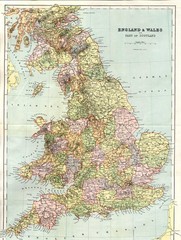
England and Wales Map
Guide to England, Wales and part of Scotland, showing counties
23 miles away
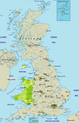
Wales Map
Guide to Wales and major cities in the United Kingdom
23 miles away
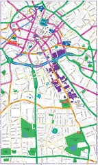
Manchester Map
37 miles away
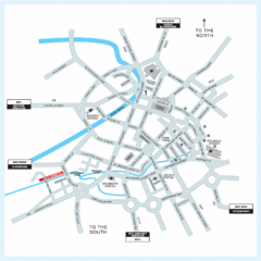
Manchester Overview Map
37 miles away
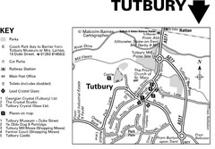
Tutbury Town Centre Map
42 miles away
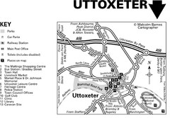
Uttoxeter Town Centre Map
42 miles away
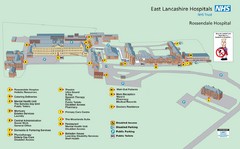
Rossendale Hospital Map
Campus map of hospital
43 miles away
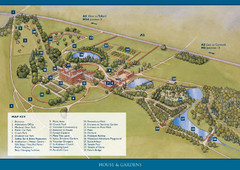
Weston Park Estate Map
43 miles away
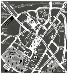
Loughborough Town Centre Map
46 miles away
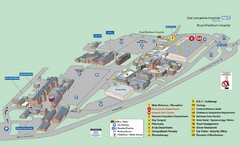
Royal Blackburn Hospital Map
Maps of Royal Blackburn
50 miles away
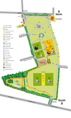
Palfrey Park Map
Detail map of Palfrey Park
65 miles away
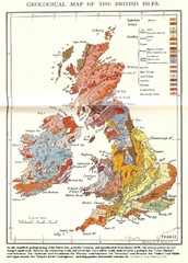
British Isles Geological Map
Old British Isles geological map
65 miles away
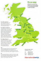
United Kingdom Map
67 miles away
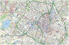
Birmingham City Map
Street map of Birmingham, England. Shows buildings, hospitals, parking, and schools.
69 miles away
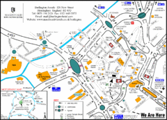
Central Birmingham Map
69 miles away
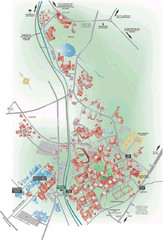
University of Birmingham Map
Guide to Birmingham University and surrounds
72 miles away
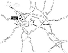
Solihull Town Map
72 miles away

Blackpool Street Map
Street map of city of Blackpool, UK.
74 miles away
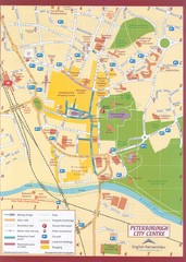
Peterborough City Center Map
City map of central Peterborough, England
75 miles away
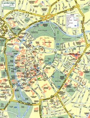
Cambridge Street Map
Street map of central Cambridge, England. Shows University of Cambridge.
105 miles away
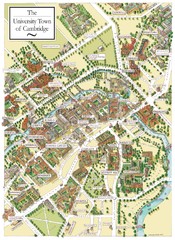
Cambridge England Map
Map of Cambridge, showing all the Colleges
105 miles away
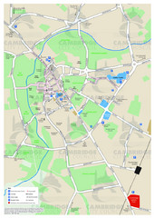
Cambridge Area Map
City map of Cambridge, England. Shows public facilities.
105 miles away
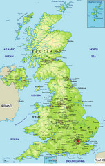
United Kingdom Physical Map
Guide to topography and physical features of Great Britain
108 miles away
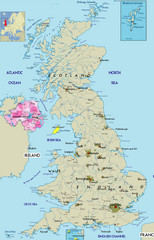
Northern Ireland Political Map
Guide to Northern Ireland and major cities in the United Kingdom
113 miles away
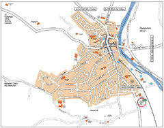
Henley-on-Thames Map
132 miles away
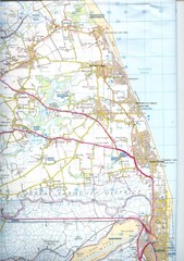
Great Yarmouth District England Map
Map of Great Yarmouth & the Norfolk Broads showing major roads and cities.
137 miles away
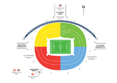
UK Wembley Stadium Map
137 miles away
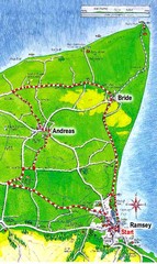
Ramsey, Isle of Man City Map
138 miles away
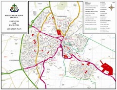
Chippenham Town Map
140 miles away
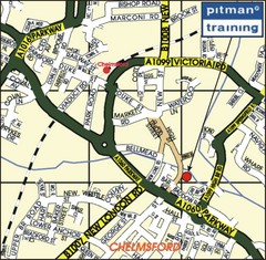
Chelmsford Map
140 miles away
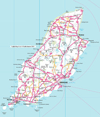
Isle of Man roads Map
140 miles away
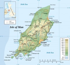
Isle of Man Topo Map
Topographical map of the Isle of Man showing roads, rail tracks, geographic features, and towns...
142 miles away

