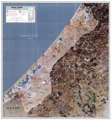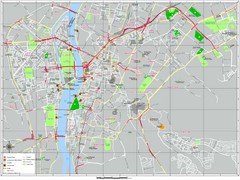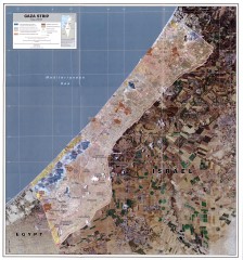
Gaza Strip Map
Shows various boundaries as of 2005
less than 1 mile away

Maps Gaza5 Map
Palestine Maps - Palestine - Home of
8 miles away

Gaza Strip Map
Map of area with detail of settlements and divisions
14 miles away
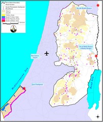
Israel Military Map
Map that describes military activities including check points, security zones, and road blocks.
19 miles away
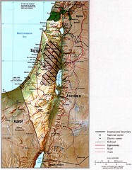
Israel Map
Map of Isreal and Surrounding areas from "Atlas of the Middle East", published in January...
38 miles away
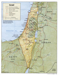
Israel Map
Israel map showing cities, boundaries, railways, mountains.
38 miles away
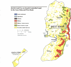
Gaza Strip and West Bank Jewish Land Use Map
49 miles away
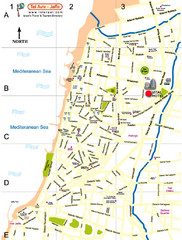
Tel Aviv City Map
City map with detail of main roads
50 miles away
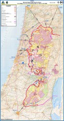
Israel Security Fence Route Map
Revised route of the Israel Security Fence around the West Bank as of Feb 2005
53 miles away
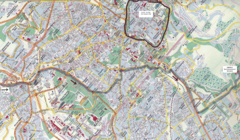
Jerusalem Map
Map of Jerusalem, Israel. Old Jerusalem highlighted. Scanned.
55 miles away
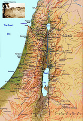
Israel Map
Israel map highlighting location of Theater of Sepphoris
56 miles away
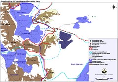
Anata Village Geopolitical Map
Geopolitical map of Anata Village in the West Bank and surrounding areas
57 miles away
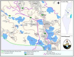
West Bank Village Map
Demographic map of several villages in the West Bank surrounding Jerusalem.
63 miles away
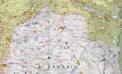
Northern West Bank Map
63 miles away
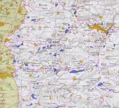
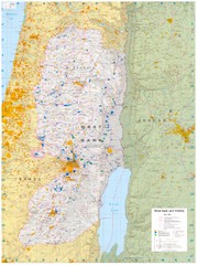
Western West Bank Map
63 miles away

The Dead Sea Map
70 miles away
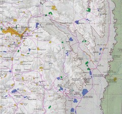
Eastern West Bank Map
Map of Nabulus and Eastern region of West Bank
79 miles away
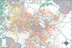
Greater Amman Map
99 miles away
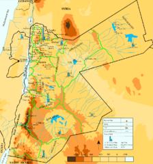
Jordan Water resources Map
109 miles away
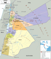
Jordan political Map
113 miles away
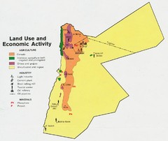
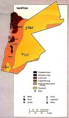
Jordan land use Map
123 miles away
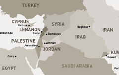
Middle East - North Map
Map of the northern section of the Middle East Countries. Countries ad capitals identified.
133 miles away
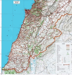
Southern Lebanon Map
Map of southern Lebanon. Shows roads, ruins, and other information.
165 miles away
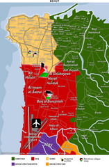
Beirut Relgions Divides Map
Map of Beirut with detail of various religious divisions based on districts
183 miles away
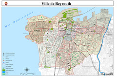
Beirut Map
Map of Beirut, Lebanon. In French.
184 miles away
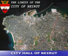
Beruit City Limits Map
Aerial map of city of Beruit, Lebanon showing city limits
184 miles away
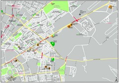
Heliopolis Cairo Map
Map Cairo Heliopolis.
202 miles away
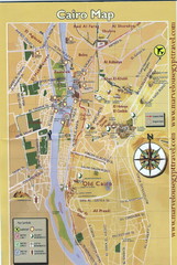
Cairo City Map
209 miles away
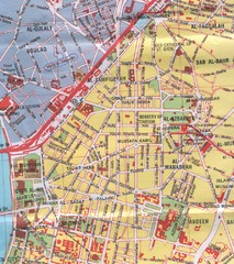
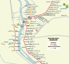
Cairo City Map
Map of central Cairo, Egypt. Scanned.
209 miles away
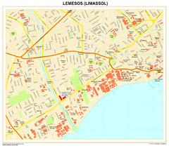
Lemesos Map
239 miles away
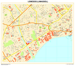
Limassol Town Map
239 miles away
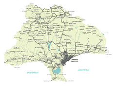
Limassol District Map
Map of Limassol District, Cyprus
243 miles away
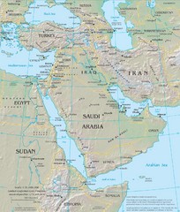
Middle East Physical Map
Physical map of the Middle East with shaded relief.
250 miles away
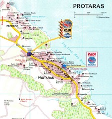
Protaras Map
255 miles away

