
Goleta City Map
Street map of Goleta, California
0 miles away
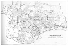
Santa Barbara, California City Map
7 miles away
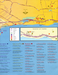
Santa Barbara Map
8 miles away
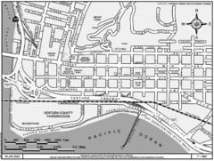
San Buenaventura Map
32 miles away
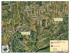
Ojai Park and Rides Map
City map of Ojai, California. Shows park & rides for commuters.
33 miles away
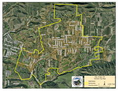
Ojai Street Map
Street map of Ojai, California.
33 miles away
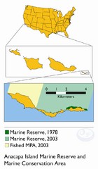
Anacapa Island Marine Reserve Map
38 miles away
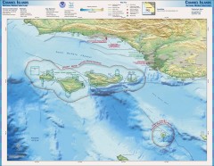
Channel Islands National Marine Sanctuary Map
Topo and bathymetric map of Channel Islands National Marine Sanctuary, located about 23 miles from...
40 miles away
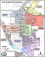
Oxnard California Neighborhoods Map
Neighborhoods: * Del Norte District o El Rio o El Rio West o...
41 miles away
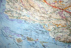
Oxnard California Fault Lines Map
FAULT MAP OF THE SANTA BARBARA TO OXNARD COASTAL AREA THE MESA-RINCON CREEK FAULT LIES DIRECTLY...
41 miles away
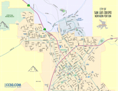
San Luis Obispo City Map - Northern Portion
City map of northern portion of San Luis Obispo, California
76 miles away
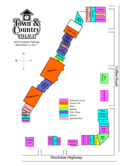
Town & Country Village Shopping Center in...
76 miles away
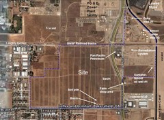
Bakersfield Commons Site Features Map
77 miles away

Bakersfield Commons Proposed Retention Areas Map
77 miles away
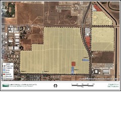
Bakersfield Commons Site Existing Conditions Map
77 miles away
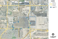
Bakersfield Commons Noise Monitoring Map
77 miles away
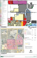
Bakersfield Commons Existing and Proposed Zoning...
77 miles away
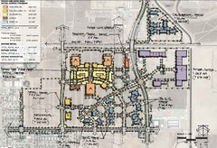
Bakersfield Commons Phase 1 Alt Map
77 miles away
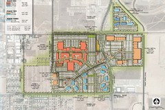
Bakersfield Commons Conceptual Site Plan Map
77 miles away
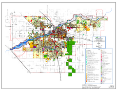
City of Bakersfield Zoning Map
This map depicts zoning for the City of Bakersfield. This map is not the official zoning map for...
80 miles away
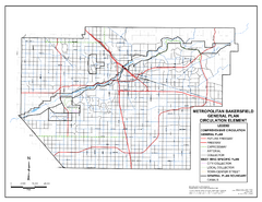
Metropolitan Bakersfield General Plan &ndash...
This map depicts the Circulation Element of the Metropolitan Bakersfield General Plan. This is a...
80 miles away
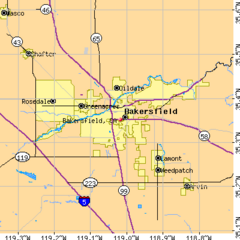
Bakersfield City Limits Map
80 miles away
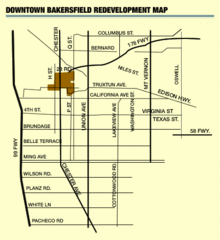
Downtown Bakersfield Redevelopment Area Map
The Downtown Redevelopment Area was established in 1972 and expanded in 1974, 1976, and 1979. It...
80 miles away
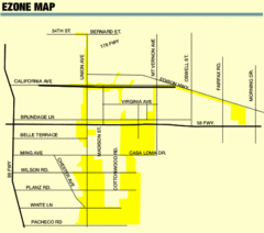
Bakersfield E Zone map
City of Bakersfield Economic & Community Development supports economic diversity, civic growth...
80 miles away
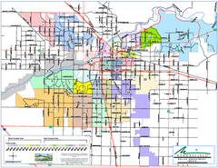
Bakersfield Police Beats Map
80 miles away
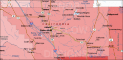
Bakersfield's Location in Kern County Map
80 miles away
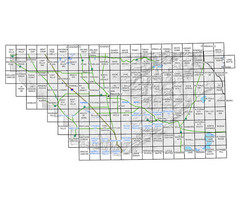
Awareness Floodplain Maps, Kern County Map
The maps labeled in blue have completed Awareness Floodplain Maps. The maps labeled in black are...
80 miles away
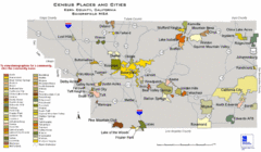
Census Places and Cities in Kern County...
80 miles away
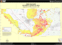
Fire Hazard Severity Zones, Kern County...
Fire Hazard Severity Zones, Kern County California: State Responsibility Area
80 miles away
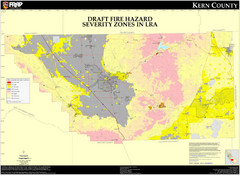
Fire Hazard Severity Zones, Kern County...
Fire Hazard Severity Zones, Kern County California: Local Responsibility Area
80 miles away
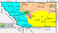
Kern County District Supervisor Areas Map
Last Modified 12/13/2005
80 miles away
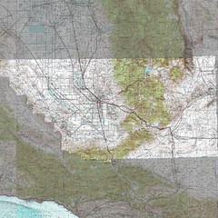
Kern County California Map
80 miles away
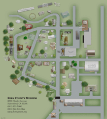
Kern County Museum Map
81 miles away
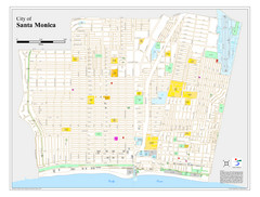
Santa Monica City Map
City map of Santa Monica, California
82 miles away
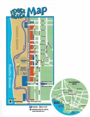
Venice Beach map
Map of Venice Beach. Shows streets and parking spots, as well as the Marina Pacific Hotel.
83 miles away

Ronald Reagan ULCA Medical Center Building Map
Pocket map to the medical center campus
83 miles away

Ronald Reagan ULCA Medical Center Map
Pocket Map to the medical center campus
83 miles away
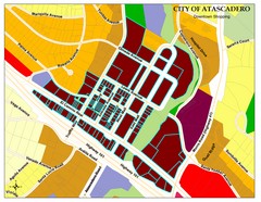
City of Atascadero Map
87 miles away
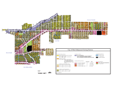
West Hollywood Zoning Map 10/08/09
87 miles away
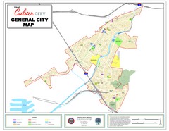
Culver City Map
General city map of Culver City, California. Shows the city boundary, schools, parks and other...
87 miles away

