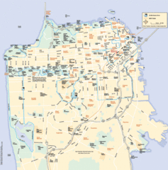
San Francisco Neighborhood Map
Neighborhood map of San Francisco, CA. Shows 49 mile scenic drive.
0 miles away
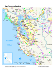
San Francisco Bay Area Map
Overview road map of the San Francisco Bay Area, California
0 miles away
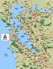
San Francisco Bay Area Map
less than 1 mile away
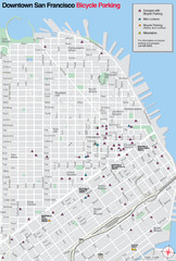
San Francisco Bike Parking Map
Multiple bike-parking points in San Francisco.
less than 1 mile away
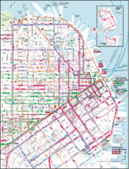
San Francisco Map
Highly detailed map of San Francisco roads and transportation.
less than 1 mile away
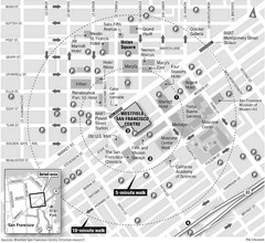
San Francisco City Center Map
less than 1 mile away
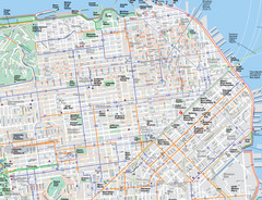
San Francisco Map
Road and Bike routes in San Francisco
1 mile away
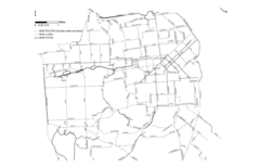
San Francisco Bike Map
Streets in San Francisco
2 miles away
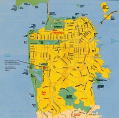
San Francisco City Map
City map of San Francisco with Lowell High School highlighted
2 miles away
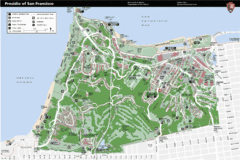
Presidio of San Francisco detail map
Detail map of the Presidio of San Francisco from NPS. Shows hiking/walking trails and POIs such as...
3 miles away
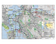
San Francisco Trans Bay Cable Project EIR Map
Map A.2-1 Detailed Project Location
10 miles away
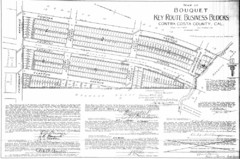
1914 Bouquet Key Route Business Block Map
This map shows the borders of the Bouquet Business District in Contra Costa County, CA
11 miles away
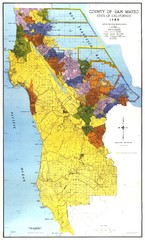
San Mateo County Map
Official county map of San Mateo, California. Scale 1"=5000'
16 miles away
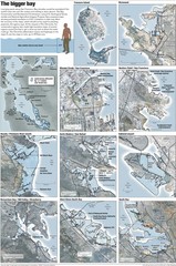
San Francisco Sea Level Rise Map
Guide to the San Francisco Bay Area, and the areas that will be underwater if there is a 1 meter...
16 miles away
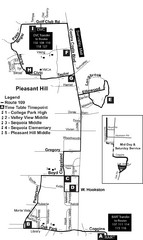
Pleasant Hill, CA Map
22 miles away
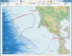
Cordell Bank National Marine Sanctuary Map
Topo and bathymetric map of the Cordell Bank National Marine Sanctuary, located 60 miles northwest...
25 miles away
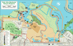
Palo Alto Baylands Nature Preserve Map
Map of the Palo Alto Baylands Nature Preserve in Palo Alto, CA. Shows trails, including part of...
28 miles away
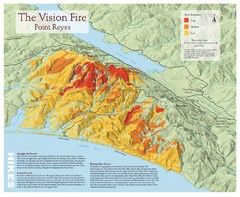
Point Reyes Vision Fire Map
Map of the burn intensity of the 1995 Vision Fire in Point Reyes National Seashore.
31 miles away
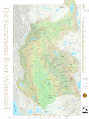
Sacramento River Watershed Map
The map shows, rivers, cities, counties, and roads surrounding the Sacramento River.
36 miles away
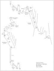
Mount Whitney Route Map
38 miles away
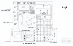
Mission City Memorial Park Map
Map of Mission City Memorial Park in Santa Clara, CA
40 miles away
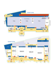
McEnery Convention Center, San Jose, California...
Floorplan map of McEnery Convention Center in San Jose, California.
42 miles away
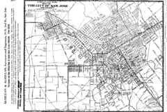
San Jose, California City Map
43 miles away
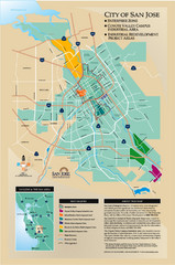
San Jose Enterprise Zone map
Map of Enterprise Zone in San Jose, CA
44 miles away
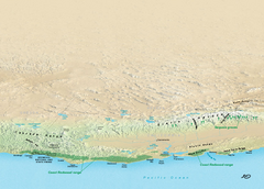
California Redwood Range Map
NPS prospective map of the coastal redwoord range in California, extending from Santa Cruz north to...
44 miles away
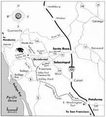
Sebastopol Map
Map of Sebastopol and surrounding towns.
49 miles away
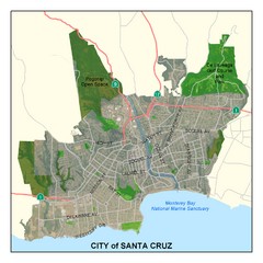
Santa Cruz City Limits Map
Map shows the city limits boundries of Santa Cruz, California
59 miles away
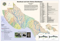
Steelhead and Coho Salmon Distribution Map...
Shows the current distribution of steelhead and resident rainbow trout and coho salmon in Santa...
59 miles away
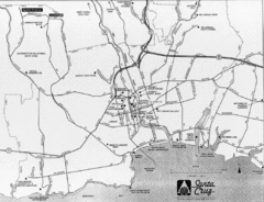
Santa Cruz, California City Map
59 miles away
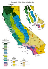
Geographic Subdivisions in California Map
67 miles away
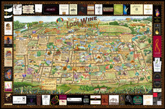
Lodi Valley Wine Map & Visitors Guide
A great source for information about the Lodi Wineries and our valleys rich Wine Region
67 miles away
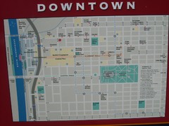
Downtown Sacramento City Map
City map of downtown Sacramento, California. From 2007 photo.
75 miles away

Sacramento, California City Map
75 miles away
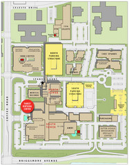
Memorial Medical Center Map
79 miles away
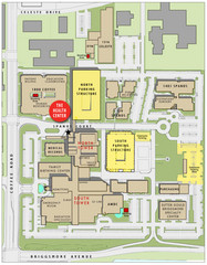
Memorial Medical Center Map
79 miles away
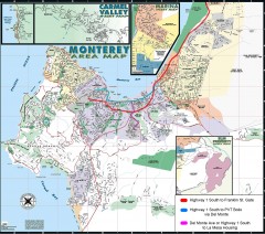
Monterey Area Map
Shows Monterey / Carmel area. Has legend on it with route highlighted to Naval housing.
87 miles away
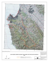
Monterey Peninsula and Carmel River Watershed...
This map contains a digital raster graphic topographic base map of the Monterey Peninsula Water...
90 miles away
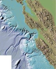
Montery Bay Sea Floor Map
112 miles away
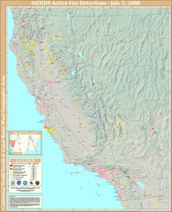
Northern California Fire Detection Map
Fires in Northern California
132 miles away
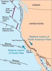
Relative Motion of Pacific and North American...
Diagram illustrating the plate-tectonic setting of southern California (image source: USGS general...
134 miles away

