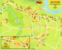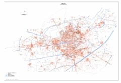
Amritsar Map
City map of Amritsar, Punjab, India
0 miles away
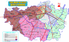
Lahore Map
Map of city district of Lahore, India. Shows all the union councils of the city district.
33 miles away
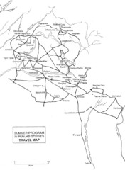
Chandigarh Map
85 miles away
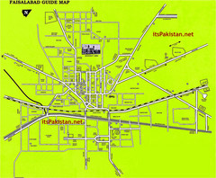
Faisalabad Road Map
This is a map of Faisalabad Pakistan showing important places of Faisalabad and main roads
106 miles away
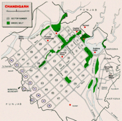
Chandigarh City Map
City map of Chandigarh
129 miles away
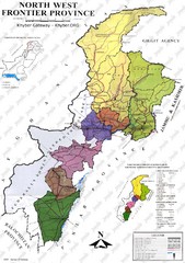
NWFP Division Map
Federally administered tribal area divisions in Pakistan as of 1995.
166 miles away
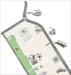
Overseas Pakistanis Foundation Ministery Map
172 miles away
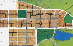
Islamabad Map
175 miles away
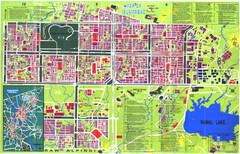
Islamabad Map
Street map of Islamabad; shows all buildings. Breakout map of central Rawalpindi.
178 miles away
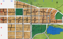
Islamabad City Map
City map of Islamabad, Pakistan
178 miles away
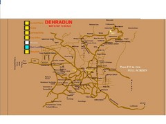
Dehradun City Map
City map of Dehradun with colleges and schools
209 miles away
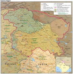
Kashmir Region Map
213 miles away
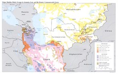
Central Asia: Major Muslim Ethnic Groups Regional...
229 miles away
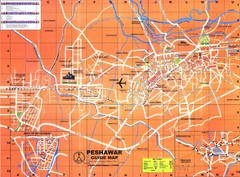
Peshawar City Map
City map of Peshawar, Pakistan. Scanned.
253 miles away
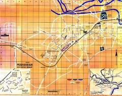
Peshawar City Map
City map of Peshawar, Pakistan
254 miles away
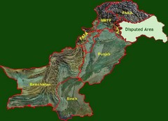
Pakistan Relief Map
Map of Pakistan showing the borders of the areas within the country and the terrain of each.
283 miles away
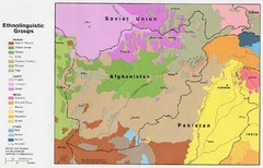
AFG afghanistan & environs ethnolinguistic...
290 miles away
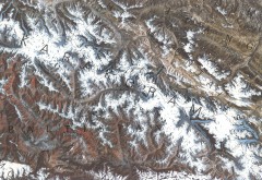
Karakoram Range Map
Shows major peaks and glaciers in the Karakoram mountain range in Pakistan and China. 2nd highest...
298 miles away
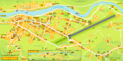
Gilgit City Map
Large and descriptive city map.
298 miles away
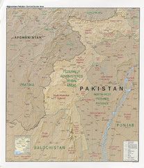
Afghanistan-Pakistan Central Border Area Map
Shows border regions of Pakistan-Afghanistan.
320 miles away
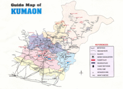
Kumaon Map
323 miles away
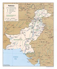
Pakistan Map
339 miles away
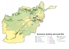
AFG Economic Activty Map
342 miles away
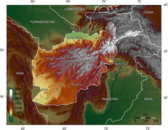
Afg Topographic Map
354 miles away
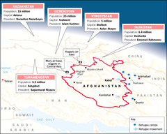
AFG Surrounding Population Map
360 miles away
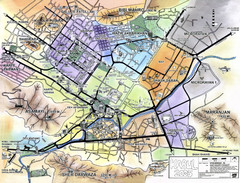
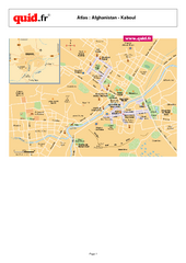
Kabul City Map
City map of Kabul, Afghanistan. Neighborhoods are shaded. Shows points of interest, restaurants...
385 miles away
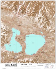
Kailash (Feng) Mountain Map
Kailash is locally more known as Kangrinboqe (Feng). It is the highest mountain in the western part...
388 miles away
![AFG Afghanistan_pop72[1] Map AFG Afghanistan_pop72[1] Map](/maps/AFG-Afghanistanpop721-Map.thumb.jpg)
AFG Afghanistan_pop72[1] Map
391 miles away
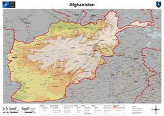
Afghanistan Map
Physical map of Afghanistan. Shows relief.
446 miles away
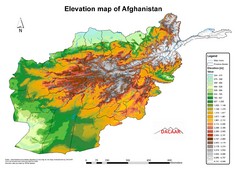
Afghanistan Elevation Map
Elevation map of Afghanistan
446 miles away
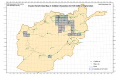
Afghanistan Shaded Relief Index Map
Index Map for the ASTER-Derived 30-Meter-Resolution Digital Elevation Models of Afghanistan.
446 miles away

Afghanistan-Pakistan Border Map
446 miles away
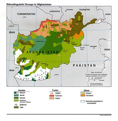
Afghanistan Entholinguistic Map
446 miles away
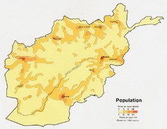
Afghanistan Population Map
446 miles away
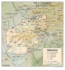
Afghanistan Map
Guide to Afghanistan and surrounds
467 miles away
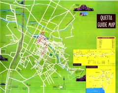
Quetta City Map
City map of Quetta, Pakistan. Shows major streets.
476 miles away

