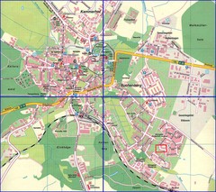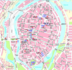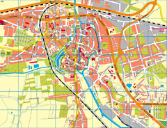
Rostock Center Map
Street map of town center
0 miles away
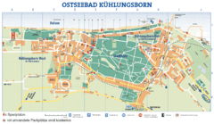
Kühlungsborn Map
Map of Kühlungsborn
16 miles away
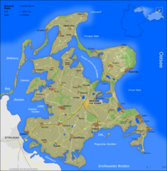
Rügen Map
Shows shaded population density of island of Rugen, Germany
58 miles away
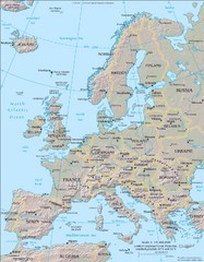
Europe Physical Map
72 miles away
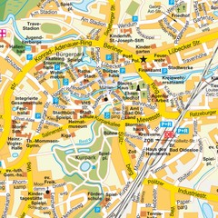
Bad Oldeshloe Map
Street map of downtown Bad Oldeshloe
74 miles away
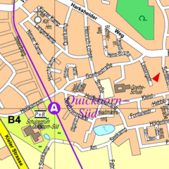
Quickborn Center Map
Street map of Quickborn town center
94 miles away
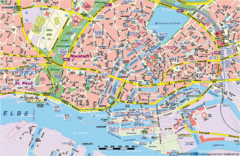
Hamburg Street Map
Street map of central Hamburg, Germany. Shows many canals.
95 miles away
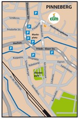
Pinneberg Center Map
Map of Pinneberg town center
100 miles away
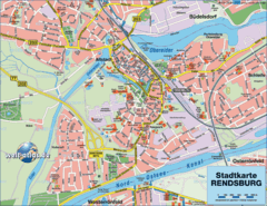
Rendsburg Map
Street map of city of Rendsburg
101 miles away
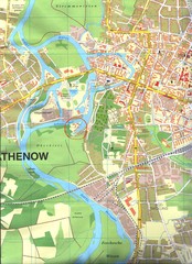
Rathenow Map
Street map of town of Rathenow
103 miles away
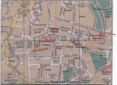
Roskilde Town Map
107 miles away
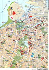
Malmo City Map
City map of central Malmö, Sweden.
110 miles away
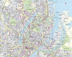
Copenhagen Street Map
Street map of central Copenhagen, Denmark
111 miles away
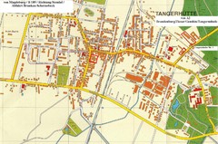
Tangerhuette Map
Street map of city of Tangerhuette
115 miles away
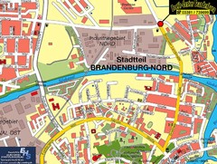
Brandenburg an der Havel Map
Street map of Brandenburg an der Havel center
118 miles away
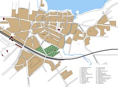
Woldenberg Map
Street map of city of Woldenberg
118 miles away
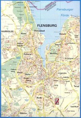
Flensburg Map
Street map of Flensburg and surrounding area
119 miles away
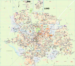
Lund Map (swedish)
119 miles away
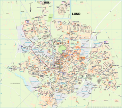
Lund City Map
City map of Lund, Sweden. Shows transportation lines.
119 miles away
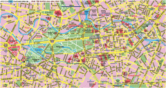
Central Berlin Street Map
Street map of central Berlin, Germany with some major building drawings. In German. Karte von...
120 miles away
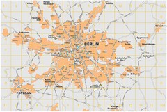
Berlin City Map
City map of Berlin Metropolitan area
121 miles away
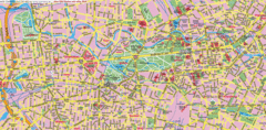
Berlin Center Map
121 miles away
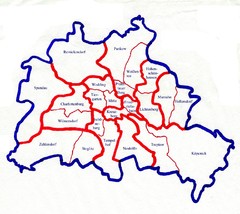
Berlin Bezirke Map
121 miles away
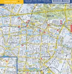
Berlin Street Map - West
Street map of western Berlin, Germany.
121 miles away
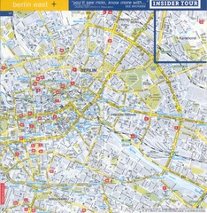
Berlin Street map - East
Street map of eastern Berlin, Germany.
121 miles away

