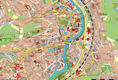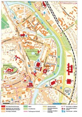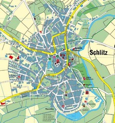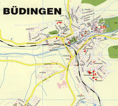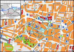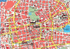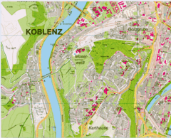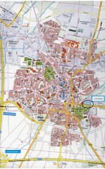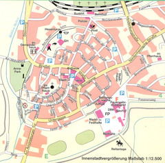
Kirchain Center Map
Street map of Kirchain center
0 miles away
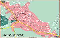
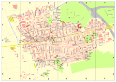
Rauschenberg Map
Street map of town of Rauschenberg
4 miles away
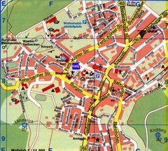
Gladenbach Map
Street map of town of Gladenbach
15 miles away
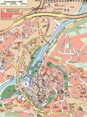
Wetzlar Center Map
Street map of town center of Wetzlar
26 miles away
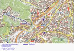
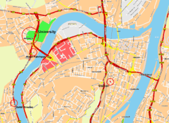
Siegen Street Map
Street map of part of Siegen, Germany. With annotations in English.
39 miles away
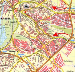
Bettenhausen Map
Map of Bettenhausen
43 miles away
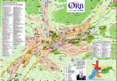
Bad Orb Map
45 miles away
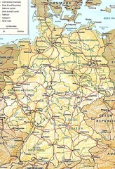
Germany Map
Map of Germany showing roads, railways and cities.
46 miles away
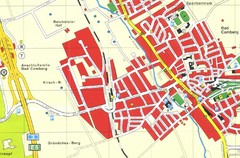
Bad Camberg Map
Street map of town of Bad Camberg
46 miles away
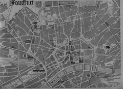
Frankfurt City Map
City map of Frankfurt
50 miles away
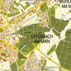
Offenbach am Main Map
Street map of Offenbach am Main
50 miles away
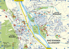
Sooden-Allendorf Map
Street map of Sooden and Allendorf
55 miles away
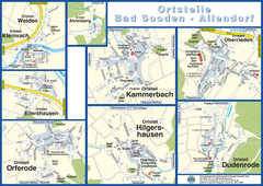
Bad Sooden-Allendorf Towns Map
Street maps of towns within the Bad Sooden-Allendorf region
55 miles away
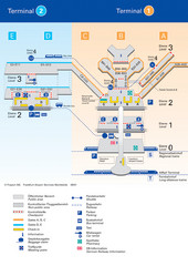
Frankfurt Airport Map
56 miles away
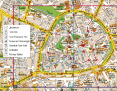
Paderborn Center Map
Street map of Paderborn city center
63 miles away
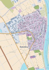
Niedernberg Map
Street map of Niedernberg
63 miles away
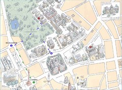
Darmstadt City Map
City map of Darmstadt, Germany. Shows major buildings and the Herrngarten.
66 miles away
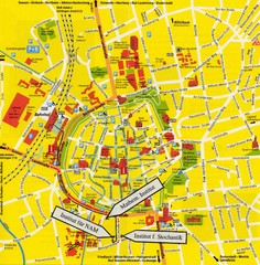
Gottingen City Map
City map of Gottingen with school buildings highlighted
66 miles away
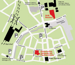
Goettingen Map
map of downtown Goettingen.
66 miles away
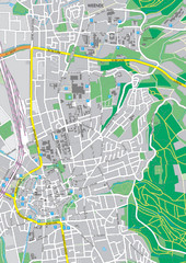
Göttingen City Map
City map of Göttingen, Germany
66 miles away
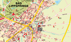
Bad Lippspringe Map
Street map of Bad Lippspringe
67 miles away
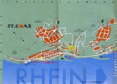
Sankt Goar Town Map
Town map of Sankt Goar, Germany. Sankt Goar is a picturesque little town on the Rhein river, about...
71 miles away
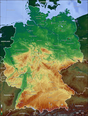
Germany Topo Map
Topographical map of Germany. Shaded by elevation in meters. Also shows major German cities.
71 miles away
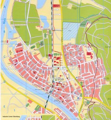
Erlenbach Map
Street map of town of Erlenbach
71 miles away

