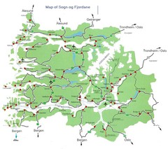
Sogn og Fjordane Region Map
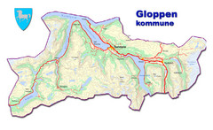
Map of the Sognefjorden, Norway region
18 miles away
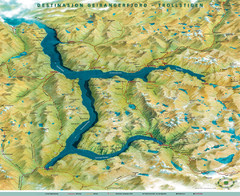
Geiranger Fjord Map
37 miles away
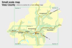
Voss County, Norway Region Map
82 miles away
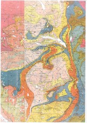
Oppdal Geologic Map
Map of geology around Oppdal, Norway
104 miles away
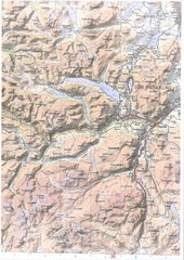
Oppdal Topo Map
Topo map of Oppdal, Norway region
116 miles away
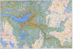
Selbu Norway Area Map
184 miles away
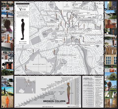
Antony Gormley - Broken Column - Stavanger Map
Broken Column sculptures by Antony Gormley. 23 site-specific placements of identical sculptures...
198 miles away
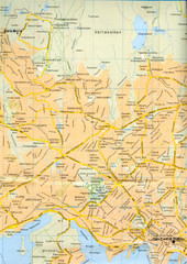
Oslo City Map
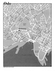
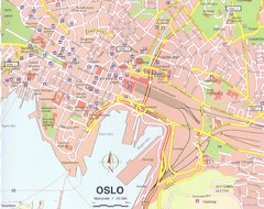
City map of central Oslo, Norway. Oslo Central Station highlighted.
202 miles away
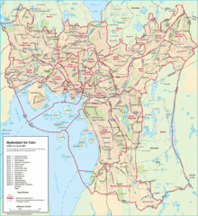
Oslo Neighborhood Map
Shows neighborhoods in city of Oslo, Norway
203 miles away
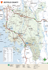
Ostfold County Map
Road map of Ostfold County, Norway.
237 miles away
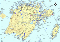
Vega Island Map
319 miles away
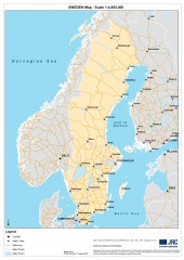
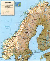
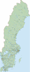
Sweden Map
Map of Sweden showing major cities and roads
348 miles away
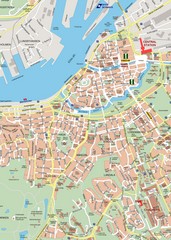
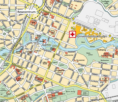
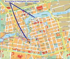
Central Gothenburg Street Map
Street map of central Gothenburg, Sweden
349 miles away
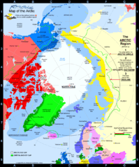
Arctic Circle Map
350 miles away
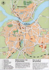
Aalborg City Map
City map with detail of main streets
355 miles away
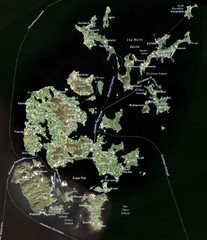
Orkney Islands Map
Guide to the Orkney Islands, northern most islands of the United Kingdom
363 miles away
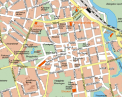
Linkoping City Center Map
Map of city center
402 miles away
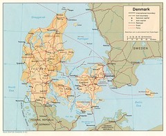
Denmark Map
Map of Denmark showing cities, roads, railways and borders.
402 miles away
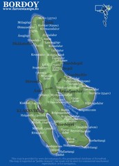
Bordoy island Map
412 miles away
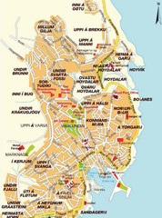
Torshavn city Map
420 miles away
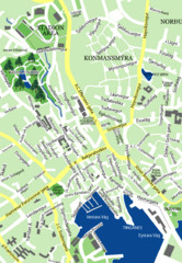
Downtown Torshavn Map
Street map of downtown Torshavn
420 miles away
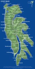
Eysturoy island Map
422 miles away
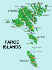
Faroe Islands Map
Overview map of the Faroe Islands.
425 miles away
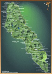
Streymoy Island Map
429 miles away
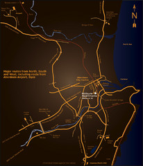
Aberdeen City Map
City map of Aberdeen with accommodations
434 miles away
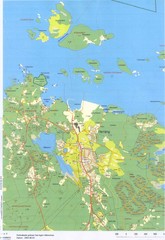
Herräng area map
Shows Herräng, Sweden and surrounding area
434 miles away
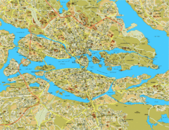
Stockholm City Map
City street map of central Stockholm, Sweden.
439 miles away
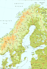
Sweden Physical Map
Map of Sweden and surrounding countries. Shows shaded relief
439 miles away
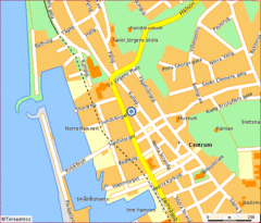
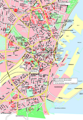
Helsingborg City Map
Map of city center with detail of main roads
462 miles away
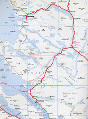
Elphin Map
470 miles away

