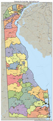
Delaware Zip Code Map
Check out this Zip code map and every other state and county zip code map zipcodeguy.com.
0 miles away
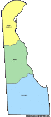
Delaware Counties Map
0 miles away
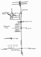
Delaware City Map
City map of Delaware City with Fort Delaware Society highlighted
46 miles away
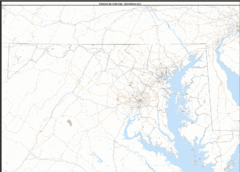
Maryland Zip Code Map
Check out this Zip code map and every other state and county zip code map zipcodeguy.com.
61 miles away
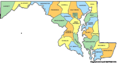
Maryland Counties Map
61 miles away
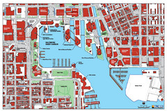
Baltimore Harbor Map
Guide to Baltimore, Maryland harbor
63 miles away
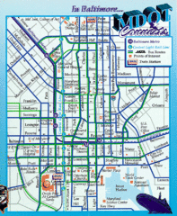
Baltimore, Maryland City Map
64 miles away
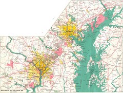
Washington D.C and Baltimore, MD City Map
69 miles away
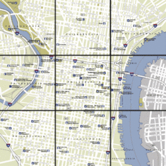
Philadelphia, Pennsylvania City Map
75 miles away
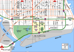
Philadelphia City Map
75 miles away
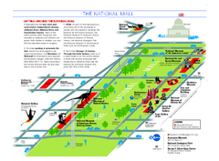
National Mall in Washington, D.C. Map
Official map of the National Mall, including the National Museum of Natural History and other...
80 miles away
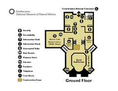
Floor Map of the Smithsonian National Museum of...
Official Floor Map of the Smithsonian National Museum of Natural History in Washington, D.C. Shows...
81 miles away
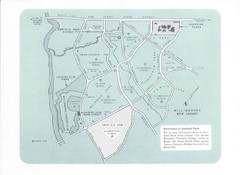
Willingboro Map
85 miles away
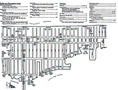
Ship Bottom, NJ Map
88 miles away
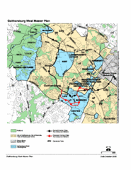
Gaithersburg, Maryland City Map
93 miles away
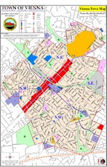
Vienna Town Map
93 miles away

Chesapeake Water Table Elevation Map
Water Resource Protection data for Chesapeake Bay
98 miles away
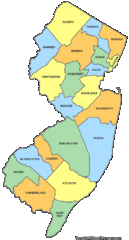
New Jersey Counties Map
99 miles away
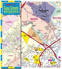
Reading, Pennsylvania City Map
101 miles away
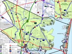
Tom's River, New Jersey City Map
102 miles away
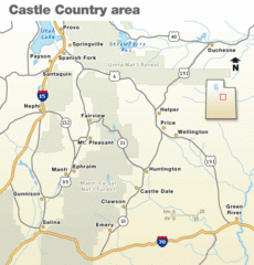
Castle Country national Park Map
Map marking major highways and cities near this beautiful national park.
129 miles away
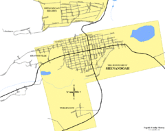
Shenandoah, Pennsylvania Map
137 miles away
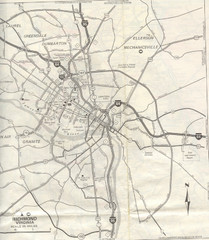
Richmond, Virgina City Map
140 miles away
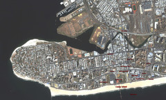
Coney Island Map
Aerial photo Coney Island map
141 miles away
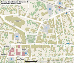
Downtown Morriston Map
142 miles away
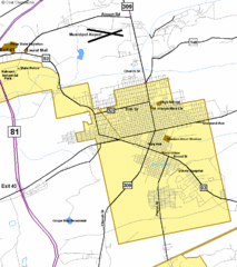
Hazelton Street Map
Clear and descriptive road map.
143 miles away
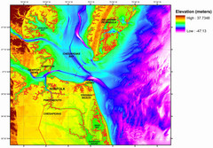
Digital Elevation Relief of Virginia Beach Map
The digital elevation model represents the bare-earth relief of the coastal zone around Virginia...
144 miles away
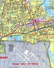
Virginia Beach, Virginia City Map
144 miles away
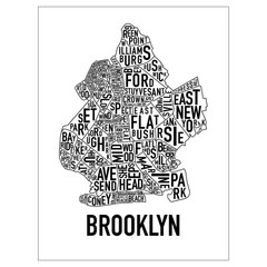
Brooklyn Neighborhood Art Map
Artistic neighborhood map of Brooklyn
146 miles away
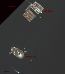
Ellis Island and Statue of Liberty Map
Aerial map of Ellis Island and the Statue of Liberty
146 miles away
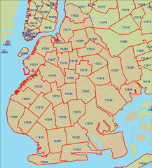
Brooklyn zip codes Map
147 miles away
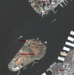
Governor's Island Map
Aerial photo view map of Governor's Island, New York
147 miles away

Lower Manhattan Area Map
148 miles away
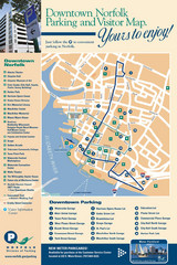
Norfolk, Virginia City Map
148 miles away
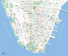
Lower Manhattan Map
148 miles away
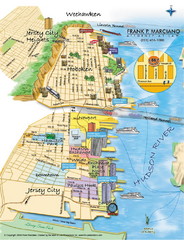
Jersey City, New Jersey City Map
Sketch of Jersey City and Hoboken, New Jersey
148 miles away
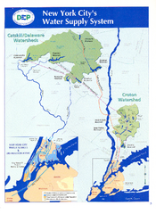
New York City's Water Supply System Map
Map of the reservoirs, aqueducts, and tunnels that supply water to NYC.
149 miles away
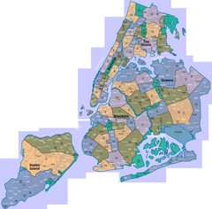
New York: A City of Neighborhoods Map
This is a map of NYC's Community Districts and neighborhoods. This map is pasted together from...
149 miles away

