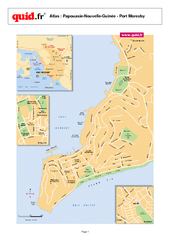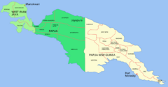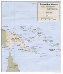
Papua New Guinea Map
less than 1 mile away
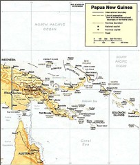
Papua New Guinea topographic Map
78 miles away
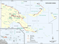
Papua New Guinea Map
281 miles away
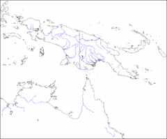
New Guinea Map
Regional Map of the Island of New
281 miles away
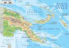
Papua New Guinea physical Map
281 miles away
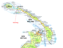
New Ireland and Kavieng Map
344 miles away

Badu Island and Moa Island Map
464 miles away
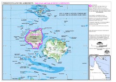
Badu Island Land Use Map
Land use agreement map on Badu Island in the Torres Strait.
469 miles away

Cairns Map
Clear map of streets and roads of this small city.
729 miles away
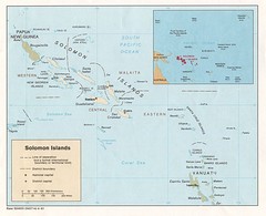
Solomon Islands Map
815 miles away
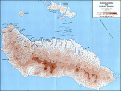
Guadalcanal Island Map
854 miles away
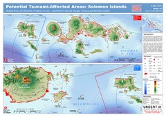
UNOSAT Solomon Islands Elevation Map
This map illustrates those areas 10 meters and less in elevation (marked in red) potentially...
856 miles away
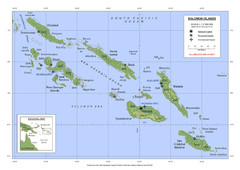
Soloman Islands Map
856 miles away
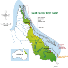
Great Barrier Reef Basin Map
941 miles away
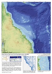
Great Barrier Reef and Coral Sea Bathymetry Map
High resolution depth and elevation map of the Great Barrier Reef, Coral Sea and neighbouring...
958 miles away
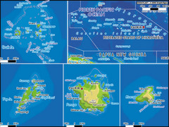
Micronesia Islands Map
Map of Micronesia region with detail of collection of islands
1003 miles away
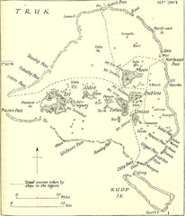
Truk atoll Map
1005 miles away
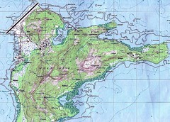
Weno (Moen) island Map
1008 miles away
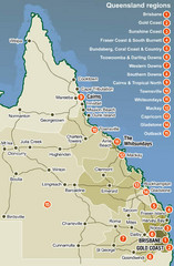
Queensland Map
Map of Queensland region with detail of districts
1061 miles away
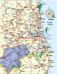
South East Queensland Map
A detailed map of the South East portion of Queensland, Australia, including Brisbane.
1161 miles away
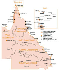
Queensland Map
Map of Queensland and Torres Strait islands
1162 miles away
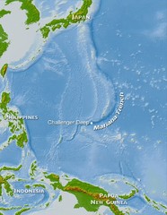
Mariana Trench Map
1168 miles away
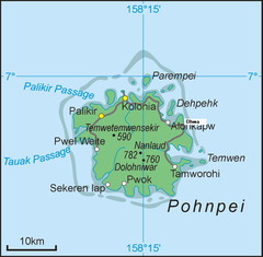
Pohnpei Island Map
1170 miles away
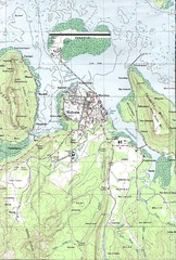
Kolonia vicinity Map
1174 miles away
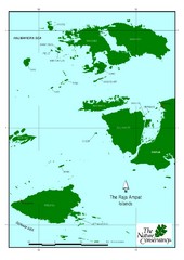
Raja Ampat Islands Map
1273 miles away
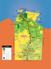
Northern Territory Map
Map of Northern Territory, Australia shows roads, national parks, and aboriginal lands.
1277 miles away
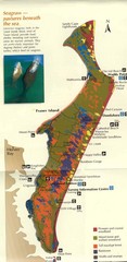
Fraser Island Map
Shows vegetation on Fraser Island, Australia the largest sand island in the world.
1333 miles away
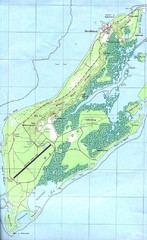
Palau Peleliu island Map
1339 miles away
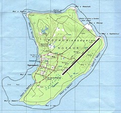
Anguar island Map
1340 miles away
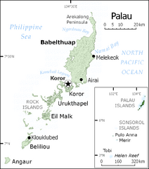
Palau Map
Guide to the country of Palau, the world's youngest and smallest sovereign state, previously...
1340 miles away
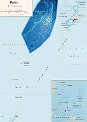
Palau Political Map
Guide to the island nation of Palau
1340 miles away
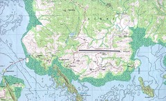
Palau airport vicinity Map
1342 miles away
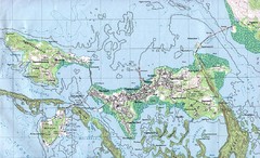
Palau Koror island Map
1344 miles away
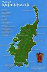
Babeldoab Map
Map of Babeldoab island of the Palau Islands
1348 miles away
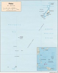
Palau Islands Map
1348 miles away
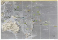
Oceania Overview Map
Overview physical relief map of Oceania. Shows major Oceania Pacific Ocean island groups. Map...
1348 miles away
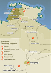
Northern Territory Map
Map of Northern Territory region wtih detail of districts
1351 miles away
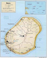
Nauru Map
Guide to Nauru, the world's smallest island nation
1371 miles away

