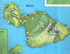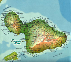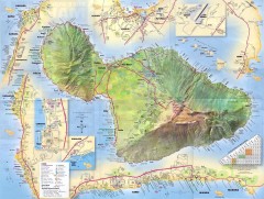
Maiu Detailed Street Map
Detailed map of Maui with insets for major towns.
0 miles away
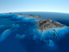
Hawaiian Islands Bathymetric Map
25 miles away

Molokai Road Map
Road map of Hawaiian island of Molokai
50 miles away
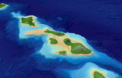
Central Hawaiian Islands Bathymetry Map
60 miles away
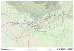
Waimea Hawaii Map
69 miles away
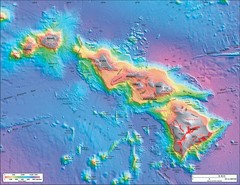
Hawaiian Islands Sea Floor Map
73 miles away
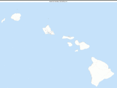
Hawaii Zip Code Map
Check out this Zip code map and every other state and county zip code map zipcodeguy.com.
76 miles away
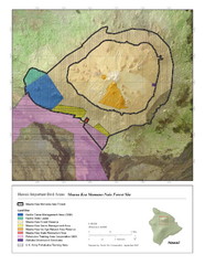
Important Bird Areas of Hawaii Map
Mauna Kea Mamane-Naio Forest Site with elevations and bird areas designated on the map.
88 miles away
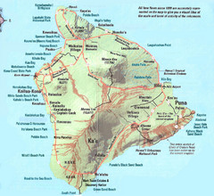
Hawaii Island Map
Detailed map of the entire island of Hawaii. Shows lava flows since 1800 and beach parks
92 miles away
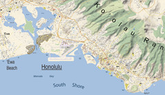
Waikiki - Oahu - map-illustrator.com Map
waikiki, oahu
102 miles away
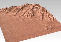
Wooden Map of Honolulu carved by CarvedMaps.com
Map of Honolulu carved of wood by CarvedMaps.com. Maps can be made of any where within the United...
104 miles away
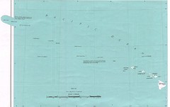
Hawaiian Islands Map
Guide to Hawaii and surrounding islands
109 miles away
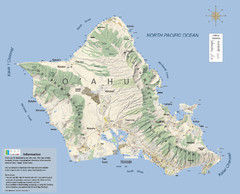
Oahu - Map-illustrator.com Map
Editable vector map of Oahu
113 miles away
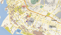
Honolulu - Oahu- Map-illustrator.com Map
Honolulu, Oahu
114 miles away
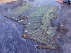
Oahu 3D Map
Topographical map of the island of Oahu. Photo taken of model at Pearl Harbor
116 miles away

Turtle Bay - Oahu - Map-illustrator.com Map
Turtle Bay Oahu
124 miles away
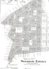
Nanawale Subdivision Map
Nanawale Estates Subdivision Map Puua, Puna, Hawaii
129 miles away
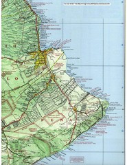
Puna Map
132 miles away
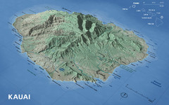
Kauai Map
221 miles away
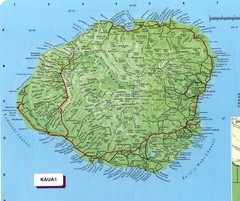
Kauai Map
Map of island of Kaua'i. Shows geographical features. Scanned.
223 miles away
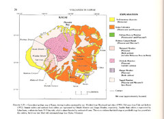
Kauai Geological Map
Geological map of volcanism in island of Kauai, Hawaii.
223 miles away
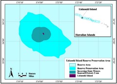
Lisianski Island Map
Reserve preservation area, Lisianski Island, Hawaii
661 miles away
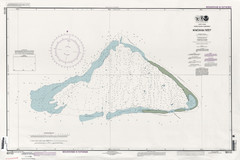
Kingman reef Map
1075 miles away
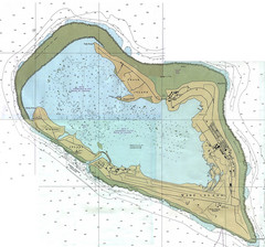
Wake Island Map
Nautical chart of Wake Island
1075 miles away
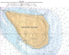
Navassa Island Map
1075 miles away
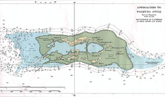
Palmyra atoll Map
1102 miles away
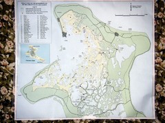
Christmas Island Bonefish Flats Map
1311 miles away
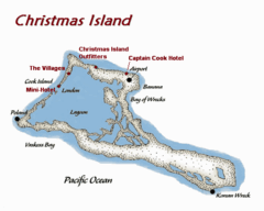
Christmas (Kiribati) island Map
1312 miles away
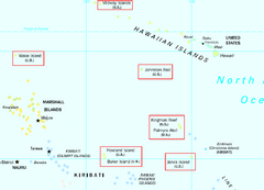
US Minor Outlying Islands Map
Shows all islands included in the United States Minor Outlying Islands designation.
1391 miles away
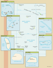
US outlying minor properties Map
1512 miles away
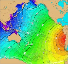
Tsunami Time Travel to Chile Map
The amount of time it will take for a tsunami in Chile to head West toward Australia. Based on the...
1545 miles away
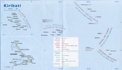
Kiribati Overview Map
Overview map of Pacific country of Kiribati. Kiribati is a Micronesian country made up of 33 low...
1807 miles away
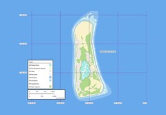
Enderbury atoll Map
1934 miles away
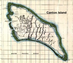
Canton Island Map
1936 miles away
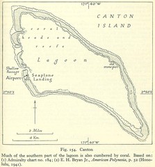
Kanton atoll Map
1937 miles away
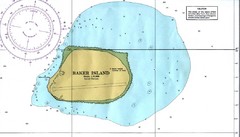
Baker Island Nautical Map
Nautical map of US unincorporated territory of Baker Island.
1971 miles away
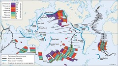
Age of undersea fracture zones Map
2065 miles away

