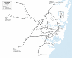
Sydney Railway Map
Sydney railway.
0 miles away
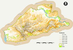
Canterbury Contour Map
The above map, which has lines marked to indicate points or areas that are the same elevation above...
2 miles away
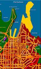
Sydney City Map
City map of Sydney: Kings Cross to Central
3 miles away
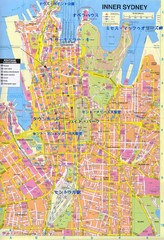
Sydney (in Japanese) Map
3 miles away
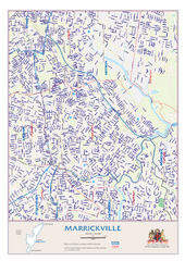
Marrickville Map
5 miles away
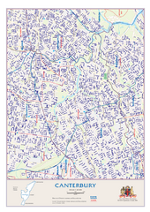
Canterbury Map
6 miles away
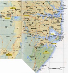
Sydney Area Road Map
Road map of the area around Sydney, Australia
7 miles away
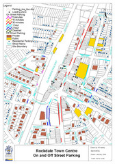
Rockdale, NSW Parking Map
8 miles away
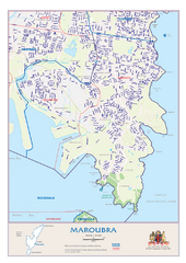
Maroubra Street Map
9 miles away
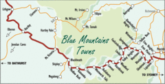
Blue Mountains' Towns Map
Simple map clearly marking each town in the Blue Mountain area.
59 miles away
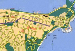
Newcastle City Map
City map of Newcastle
72 miles away
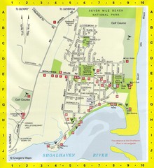
Shoalhaven Heads Town Map
74 miles away
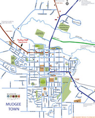
Mudgee Town Map
127 miles away
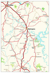
Wellington Region Road Map
Road map of region including Wellington, Dubbo, and Molong, Australia.
155 miles away
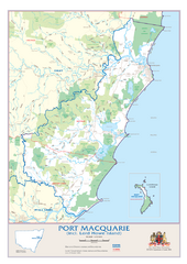
Port Macquarie Map
194 miles away
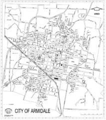
City Of Armidale Map
Large road map clearly marking streets throughout this wonderful city.
229 miles away
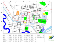
Narrandera Town Map
272 miles away
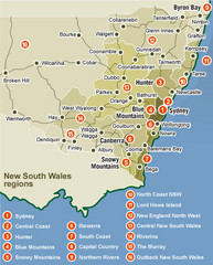
New South Wales Map
Map of New South Wales region with detail of districts
275 miles away
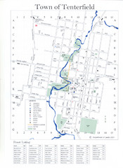
Tenterfield Town Map
335 miles away
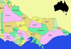
Victorian Aboriginal tribal and language areas Map
This is a map I created of aboriginal tribal territories and languages in Victoria, Australia...
374 miles away
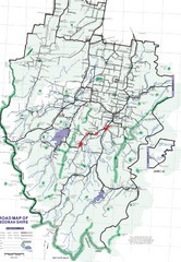
Boonah Shire Magpie Map
Road map of Boonah Shire, Australia. Shows locations of magpie encounters while road biking.
405 miles away
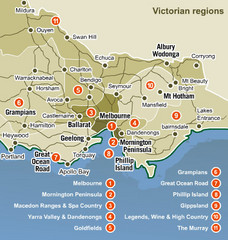
Victoria Map
Map of Victoria region with detail of districts
429 miles away
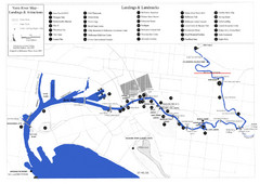
Yarra River Map
Map of Yarra River in Melbourne, Australia shows landings and landmarks.
444 miles away
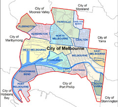
City of Melbourne Australia Boundary Map
Boundary map showing the suburbs of Melbourne, Australia. No street level detail.
444 miles away
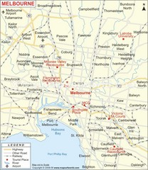
Greater Melbourne, Australia Region Map
444 miles away
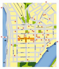
Brisbane City Map
City map of Brisbane with reference to architecture.
454 miles away
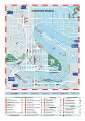
Downtown Brisbane Map
My Travel Maps: travel maps
455 miles away
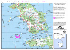
Flinders Island Map
Shows badger island financial assistance agreement 2000. Also shows Cape Barren Island
468 miles away
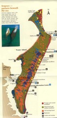
Fraser Island Map
Shows vegetation on Fraser Island, Australia the largest sand island in the world.
605 miles away
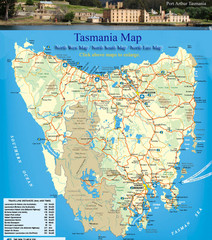
Tasmania Map
Detailed map of island of Tasmania, Australia. Shows National Parks. Scanned.
609 miles away

Lyons Political Divisions Map
624 miles away
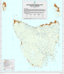
Tasmanian Soil Map
Distribution of Acid Sulphate Soils in Tasmania
635 miles away
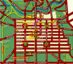
Adelaide Map
Street map of downtown Adelaide
722 miles away
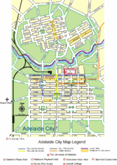
Adelaide City Map
City map of Adelaide, Australia. University of Adelaide, Lincoln College, and a few hotels...
722 miles away
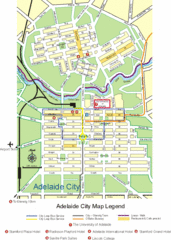
Adelaide City Map
City map of Adelaide with hotels
722 miles away
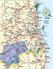
South East Queensland Map
A detailed map of the South East portion of Queensland, Australia, including Brisbane.
740 miles away
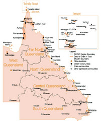
Queensland Map
Map of Queensland and Torres Strait islands
800 miles away
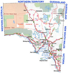
Southern Australia Area Map
Map of Southern Australia.
868 miles away
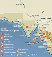
South Australia Map
Map of South Australia region with detail of districts
887 miles away

