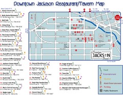
Downtown Jackson Restaurant Map
Downtown Jackson restaurant map with many delicious locations!
0 miles away
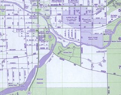
Albion City Map
City map of Albion, Michigan
17 miles away
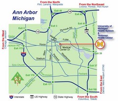
Ann Arbor, Michigan City Map
35 miles away
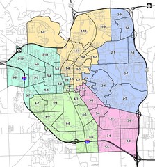
Ann Arbor City Map
City map of Ann Arbor, Michigan, with voting precincts.
35 miles away
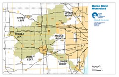
Huron River Watershed Map
Creek and watershed map of Huron River
49 miles away
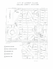
Lathrup Village Street Map
63 miles away
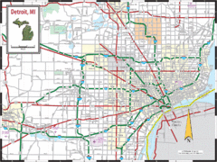
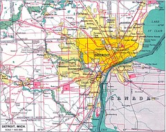
Detroit, Michigan City Map
70 miles away
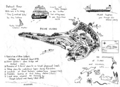
Peche Island Map
Hand-drawn map of Peche Island, Michigan
76 miles away
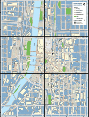
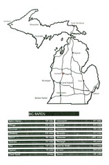
Grand Rapids, Michigan City Map
81 miles away
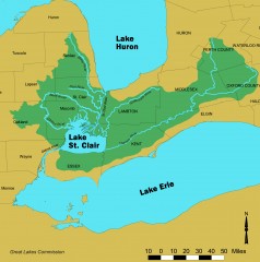
Lake St. Clair/St. Clair River watershed Map
Shows the Lake St. Clair/St. Clair River watershed.
92 miles away
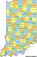
Indiana Counties Map
133 miles away
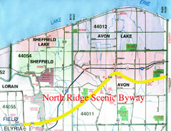
North Ridge Byway Map
The North Ridge Scenic Byway runs along Ohio State Route 254 in Lorain County, Ohio. Variously know...
135 miles away
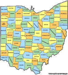
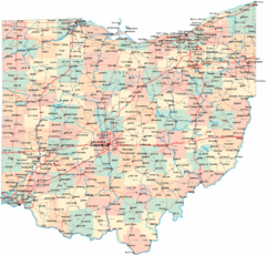
Ohio Counties Map
149 miles away
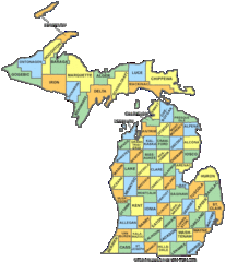
Michigan Counties Map
155 miles away
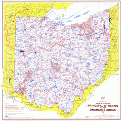
Ohio Watersheds Map
Principal Streams and their Drainage Areas. Based on map by C. E. Sherman, July 1925
159 miles away
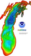
Lake Michigan Depths Map
159 miles away
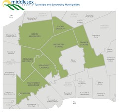
Middlesex County Map
Guide to Middlesex County and surrounds
162 miles away
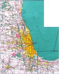
Chicago Map
167 miles away
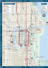
Downtown Chicago Map
167 miles away
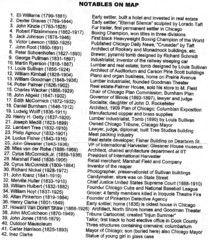
Graceland Cemetery Map key
key for the map of Graceland Cemetery: http://mappery.com/Graceland-Cemetery-Map
168 miles away
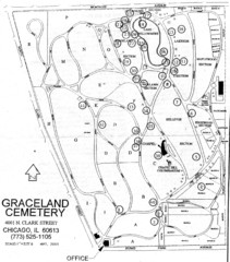
Graceland Cemetery Map
Map of the sections of Graceland cemetery with notable burials marked Key here: http://mappery.com...
168 miles away
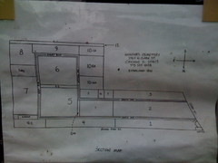
Map of Wunders Cemetery in Chicago, IL
Map of the burial sections for Wunders Cemetery
168 miles away
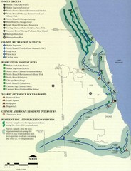
Map of Chicago River with Emphasis on...
A map of the Chicago River with the emphasis on human use and awareness of the river.
169 miles away
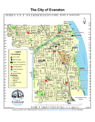
Evanston City Map
City map of Evanston, Illinois
169 miles away
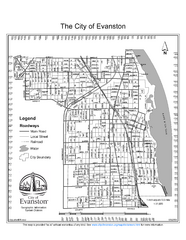
Evanston City Map
City map of Evanston, Illinois
169 miles away
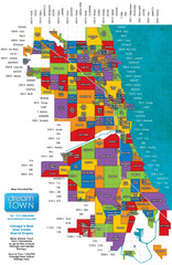
Chicago Neighborhoods Map
Map of Chicago identifying the different neighborhoods in the city
169 miles away
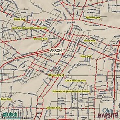
Akron, Ohio City Map
170 miles away
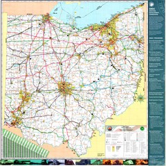
Dayton, Ohio City Map
172 miles away
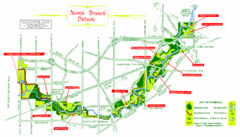
North Branch Trail Map
Picnic Areas and Trail Map
174 miles away
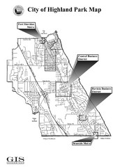
Highland Park City Map
City Map of Highland Park, Illinois
174 miles away
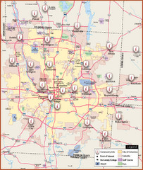
Columbus, Ohio City Map
174 miles away
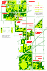
Tinley Creek Map
Picnic Areas and Trail Map
178 miles away
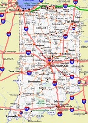
Indiana Road Map
180 miles away
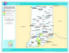
Indiana - Federal Lands and Indian Reservations...
The National Atlas of the United States of America, U.S. Geological Survey, 2003
180 miles away
Ohio County Map
181 miles away
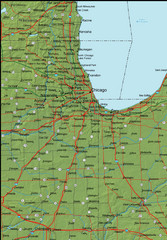
Detailed Indiana Area Road Map
182 miles away

