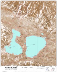
Kailash (Feng) Mountain Map
Kailash is locally more known as Kangrinboqe (Feng). It is the highest mountain in the western part...
0 miles away
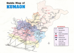
Kumaon Map
137 miles away
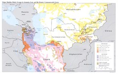
Central Asia: Major Muslim Ethnic Groups Regional...
195 miles away
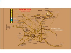
Dehradun City Map
City map of Dehradun with colleges and schools
200 miles away
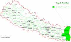
Nepal Tea Growing Regions Map
234 miles away
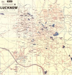
Lucknow City Map
City map of Lucknow, India.
272 miles away
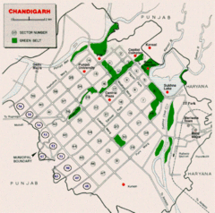
Chandigarh City Map
City map of Chandigarh
272 miles away
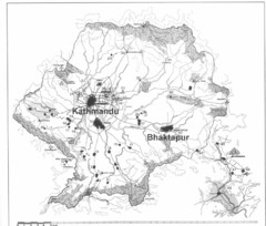
Kathmandu Valley Map
319 miles away
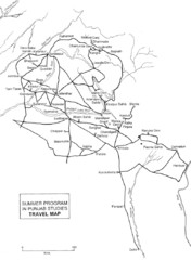
Chandigarh Map
328 miles away
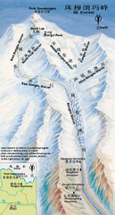
Mt Everest Rongbu Glacier Climbing Map
387 miles away
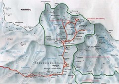
Mt. Everest Map
387 miles away
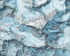
Mount Everest Map
387 miles away
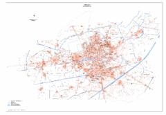
Amritsar Map
City map of Amritsar, Punjab, India
388 miles away
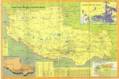
Tibet Map
414 miles away
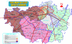
Lahore Map
Map of city district of Lahore, India. Shows all the union councils of the city district.
421 miles away
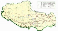
Tibet Map
Map of Tibet showing roads, towns, rivers, railways and mountains.
425 miles away
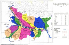
River Basin of Bihar Map
River Basin's shown in color on Map
432 miles away
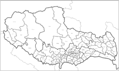
Tibet County Outline Map
Outline map of Tibet counties.
435 miles away
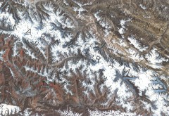
Karakoram Range Map
Shows major peaks and glaciers in the Karakoram mountain range in Pakistan and China. 2nd highest...
443 miles away
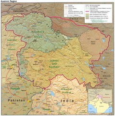
Kashmir Region Map
446 miles away
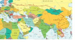
Partial Europe, Middle East, Asia, Partial Russia...
Map that shows the Eastern half of Europe, the Southern half of Russia, the Northern half of Africa...
486 miles away
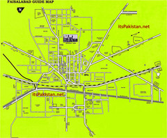
Faisalabad Road Map
This is a map of Faisalabad Pakistan showing important places of Faisalabad and main roads
492 miles away
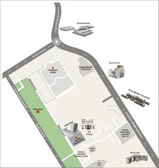
Overseas Pakistanis Foundation Ministery Map
520 miles away
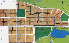
Islamabad Map
524 miles away
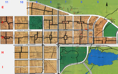
Islamabad City Map
City map of Islamabad, Pakistan
526 miles away
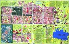
Islamabad Map
Street map of Islamabad; shows all buildings. Breakout map of central Rawalpindi.
526 miles away
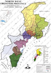
NWFP Division Map
Federally administered tribal area divisions in Pakistan as of 1995.
530 miles away
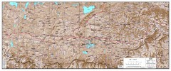
Central Tibet Map
Central Tibet map shows settlements, jeepable roads, rivers, and trails
534 miles away
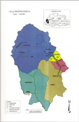
Haa Dzongkhag, Bhutan Road Map
536 miles away
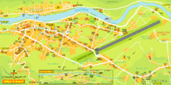
Gilgit City Map
Large and descriptive city map.
542 miles away

Thimphu trekking trails Map
Overview map of day hikes around Thimphu, Bhutan
549 miles away
Old Map of Thimphu 1
551 miles away
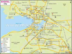
Bhopal City Map
Roads, towns and points of interest are marked on this clear map and legend.
574 miles away
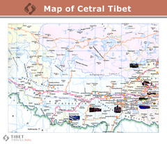
Central Tibet Map
588 miles away

