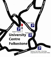
University Centre at Folkestone Map
0 miles away
Canterbury Map
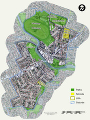
Map of parks, main streets, etc.
14 miles away
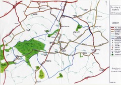
Hoath Town Map
Handwritten map of town of Hoath, England near Canterbury.
18 miles away

Kent, England County Map
19 miles away
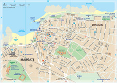
Margate TouristMap Map
22 miles away
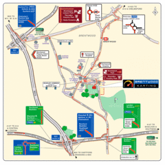
Brentwood, Essex Map
52 miles away
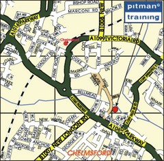
Chelmsford Map
54 miles away
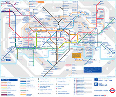
London Tube Map
62 miles away
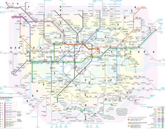
London Tube Map
63 miles away
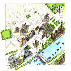
London Westminster Map
Aerial Map of Westminster london, showing the Houses of Parliament
63 miles away
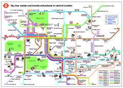
Central London Tourist and Bus map
Current Map showing all London Attractions and Bus transportation Route.
63 miles away
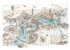
Map of London
Aerial map of London, a look at the History of London and the River Thames
63 miles away
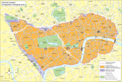
London Congestion Zone Map
63 miles away
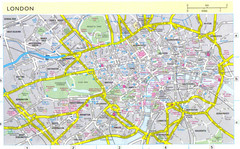
London City Map
City map of London with information and parking locations
64 miles away
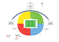
UK Wembley Stadium Map
71 miles away
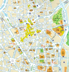
Lille Center Map
Street map of Lille city center
88 miles away
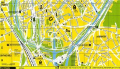
South Bruges Map
Map of the southern part of Bruges city
89 miles away
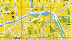
North Bruges Map
Map of northern part of Bruges city
90 miles away
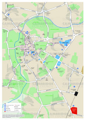
Cambridge Area Map
City map of Cambridge, England. Shows public facilities.
90 miles away
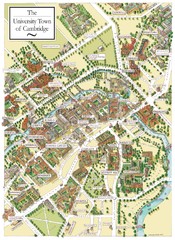
Cambridge England Map
Map of Cambridge, showing all the Colleges
90 miles away
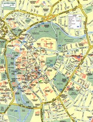
Cambridge Street Map
Street map of central Cambridge, England. Shows University of Cambridge.
90 miles away
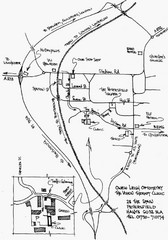
Petersfield, London Map
92 miles away
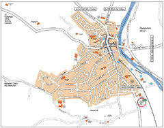
Henley-on-Thames Map
95 miles away
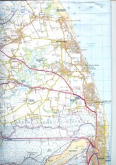
Great Yarmouth District England Map
Map of Great Yarmouth & the Norfolk Broads showing major roads and cities.
109 miles away
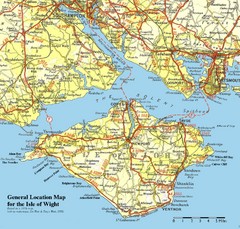
Isle of Wight Map
Based on 1950's map with no motorways
111 miles away
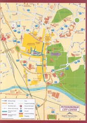
Peterborough City Center Map
City map of central Peterborough, England
120 miles away
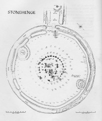
Stonehenge Map
Hand drawn map of Stonehenge showing stone circle and surrounding area
130 miles away
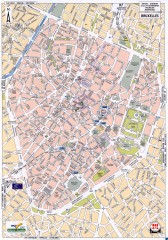
Brussels Street Map
Street map of the center of Brussels, Belgium (Brussel, Bruxelles). Major buildings labeled.
139 miles away
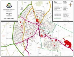
Chippenham Town Map
145 miles away
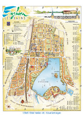
Enghien-les-Bains City Map
City map of Enghien-les-Bains, France. Located a few kilometers from Paris in the Val d’Oise...
154 miles away
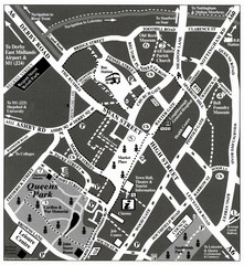
Loughborough Town Centre Map
155 miles away
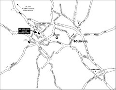
Solihull Town Map
157 miles away
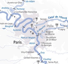
Paris Guide Map
160 miles away
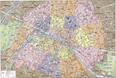
Arrondissements de Paris Map
City map shows 20 arrondissements of Paris, France.
162 miles away
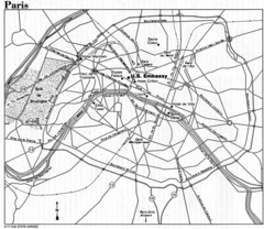
Paris City Map
162 miles away
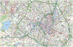
Birmingham City Map
Street map of Birmingham, England. Shows buildings, hospitals, parking, and schools.
163 miles away
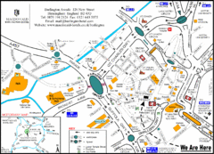
Central Birmingham Map
163 miles away
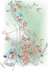
University of Birmingham Map
Guide to Birmingham University and surrounds
163 miles away

