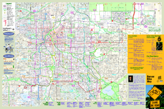
Denver Bike Map - Front
Shows all bike routes in the Denver metro area. This is the Front side of a 2-sided map.
0 miles away
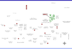
Denver Botanic Garden (York St) Map
2 miles away
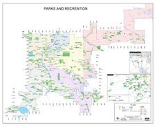
Denver City Parks map
Shows all city parks in the Denver metro area.
3 miles away
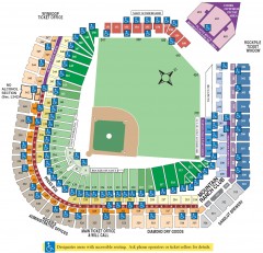
Coors Field Seating Chart Map
Seating chart of Coors Field, home of the MLB Colorado Rockies. This map shows all seating...
3 miles away
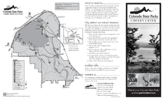
Cherry Creek State Park Map
Map of park with detail of recreation ares
9 miles away
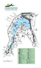
Chatfield State Park Map
Map of park with detail of recreation areas
13 miles away
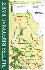
Bluffs Regional Park Map
15 miles away
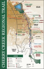
cherry creek regional trail Map
17 miles away

Glendale Farm Open Space Map
17 miles away
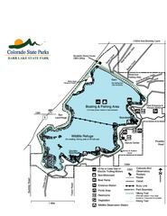
Barr Lake State Park Map
Map of park with detail of trails and recreation zones
19 miles away
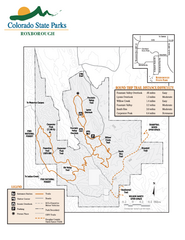
Roxborough State Park Map
Map of park with detail of recreation zones
20 miles away
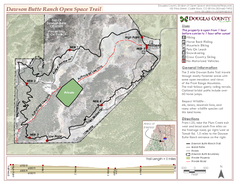
Dawson Butte Ranch Open Space Trail Map
23 miles away
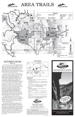
Eldorado Canyon State Park Map
Map of park with detail of trails and recreation zones
23 miles away
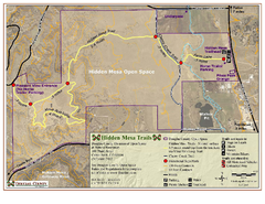
Hidden Mesa Map
24 miles away
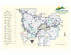
Golden Gate Canyon State Park Map
Map of park with detail of trails
25 miles away

Columbine Open Space Map
26 miles away
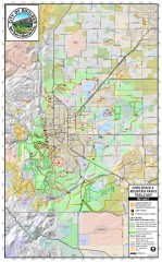
Boulder Open Space and Mountain Park Trail Map
Shows all trails in Open Spaces and Mountain Parks around Boulder, CO
27 miles away
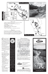
Castlewood Canyon State Park Map
Map of park with detail of trails and recreation zones
28 miles away
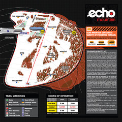
Echo Mountain Park Ski Trail Map
Trail map from Echo Mountain Park, which provides downhill, night, and terrain park skiing. It has...
30 miles away
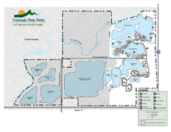
St. Vrain State Park Map
Map of park with detail of recreation zones
31 miles away
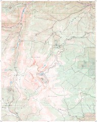
Mt. Evans Contour Map
Guide to the area around Mt. Evans, near Denver, CO
33 miles away
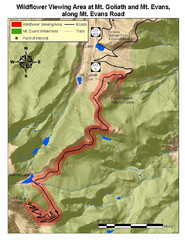
Mt. Evans Road Wildflower Viewing Map
Shows wildflower viewing area at Mt. Goliath and Mt. Evans along Mt. Evans Road in Colorado. "...
37 miles away
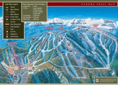
Eldora Mountain Ski trail Map
Official ski trail map of Eldora Mountain Resort ski area.
37 miles away
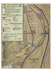
Spruce Meadows Map
38 miles away
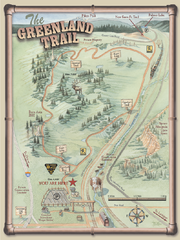
The Greenland Trail Map
39 miles away
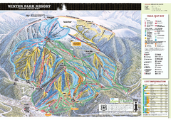
Winter Park Resort Ski Trail Map 2006-07
Official ski trail map of Winter Park for the 2006-2007 season.
44 miles away
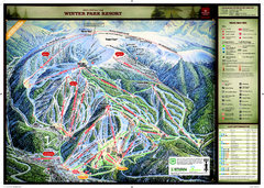
Winter Park Resort Ski Trail Map
Trail map from Winter Park Resort, which provides downhill and terrain park skiing. It has 25 lifts...
45 miles away
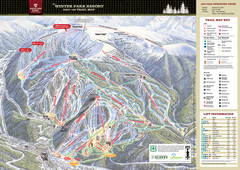
Winter Park Trail Map
Ski trail map
45 miles away
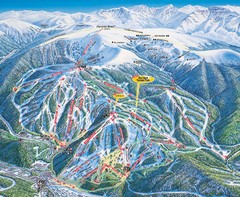
Winter Park Trail Map
45 miles away
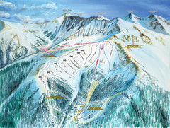
Montezuma Bowl Trail Map
48 miles away
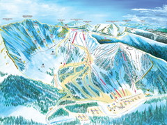
Arapahoe Basin Trail Map
Ski trail map
49 miles away
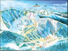
Arapahoe Basin Frontside Ski Trail Map
Trail map from Arapahoe Basin, which provides terrain park skiing. It has 7 lifts servicing 105...
49 miles away
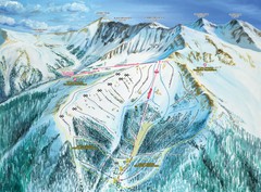
Arapahoe Basin Montezuma Bowl Ski Trail Map
Trail map from Arapahoe Basin, which provides terrain park skiing. It has 7 lifts servicing 105...
49 miles away
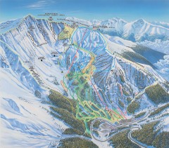
Arapahoe Basin Ski Trail map
Official ski trail map of Arapahoe Basin ski area from the 2006-2007 season. Look for 400 acre...
49 miles away
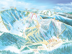
Arapahoe Basin Ski Trail Map 2007
Ski trail map of Arapahoe Basin ski area
49 miles away
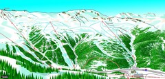
Loveland North View Ski Trail Map
Trail map from Loveland, which provides downhill, nordic, and terrain park skiing. It has 10 lifts...
50 miles away
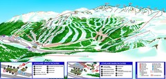
Loveland South View Ski Trail Map
Trail map from Loveland, which provides downhill, nordic, and terrain park skiing. It has 10 lifts...
50 miles away
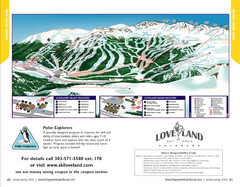
Loveland Trail Map
Ski Trail Map
50 miles away
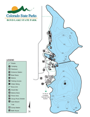
Boyd Lake State Park Map
Map of park with detail of recreation ares
50 miles away

