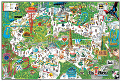
Six Flags Magic Mountain Theme Park Map
Official park map of Six Flags Magic Mountain, California.
0 miles away
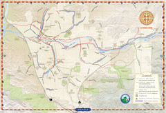
Santa Clarita Trail Map
5 miles away
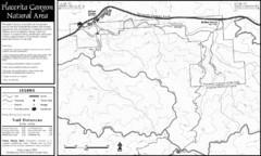
Placerita Canyon Trail Map
5 miles away
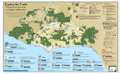
Santa Monica Mountains Area Trail map
Trail map of the Santa Monica Mountains National Recreation Area. Highlights information about...
22 miles away
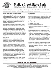
Malibu Creek State Park Campground Map
Map of campground region of park with detail of trails and recreation zones
24 miles away
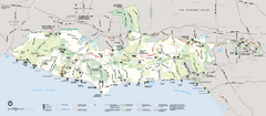
Santa Monica Mountains National Recreation Area...
Map of the entire Santa Monica Mountains National Recreation Area
25 miles away
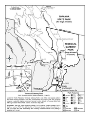
Temescal Canyon Trail Map
Trail map of Temescal Gateway Park, Temescal Canyon, and adjoining section of Topanga State Park...
26 miles away
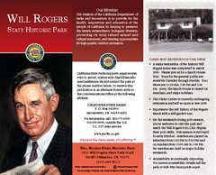
Will Rogers State Historic Park Map
Map of park with detail of trails and recreation zones
26 miles away
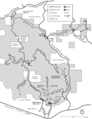
Zuma Trancas Canyon Map
Trail map of Zuma Canyon and Trancas Canyon near Malibu, CA in the Santa Monica Mountains. End of...
28 miles away
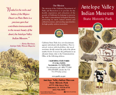
Antelope Valley State Park Map
Map of park with detail of of trails and recreation zones
31 miles away
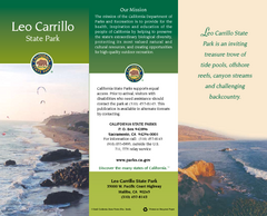
Leo Carrillo State Park Map
Map of park with detail of trails and recreation zones
32 miles away
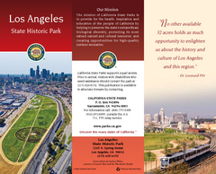
Los Angeles State Historic Park Map
Map of park with detail of trails and recreation zones
32 miles away
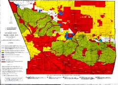
Los Angeles County Firearms Closure Area Map
This map shows where you can use archery, shotgun and rifle to hunt.
36 miles away
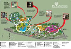
Arboretum Map
Visitor map of the Arboretum
37 miles away
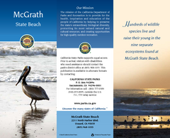
McGrath State Beach Map
Map of beach and park with detail of trails and recreation zones
40 miles away
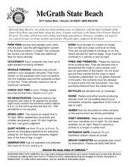
McGrath State Beach Campground Map
Map of beach and park with detail of trails and recreation zones
40 miles away
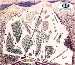
Kratka Ridge Ski Trail Map
Trail map from Kratka Ridge.
41 miles away
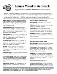
Emma Wood State Beach Campground Map
Map of campground region of park with detail of trails and recreation zones
43 miles away
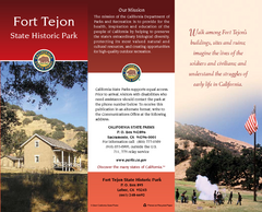
Fort Tejon State Historic Park Map
Map of park with detail of trails and recreation zones
47 miles away
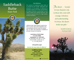
Saddleback Butte State Park Map
Map of park with detail of trails and recreation zones
49 miles away
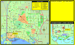
Bike Routes, Long Beach, California Map
Bicycle path map of Long Beach, California. Shows bike paths, bike centers, and public...
51 miles away
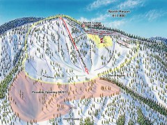
Mountain High Ski Trail Map - North Resort
Official ski trail map of Mountain High ski area for the North Resort
52 miles away
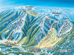
Mountain High Resort East & West Resorts Ski...
Trail map from Mountain High Resort, which provides downhill, night, and terrain park skiing. It...
52 miles away
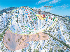
Mountain High Resort North Resort Ski Trail Map
Trail map from Mountain High Resort, which provides downhill, night, and terrain park skiing. It...
52 miles away
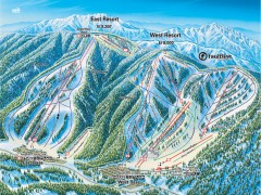
Mountain High Ski Trail Map - East and West Resort
Official ski trail map of Mountain High ski area for the East Resort and West Resort
52 miles away
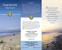
Carpinteria State Beach Map
Map of beach with detail of trails and recreation zones
53 miles away
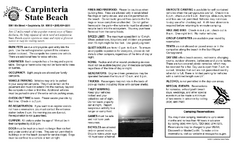
Carpinteria State Beach Campground Map
Map of park with detail of trails and recreation zones
53 miles away
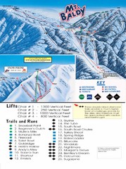
Mount Baldy Trail Map
55 miles away
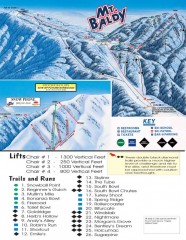
Mt. Baldy Ski Trail Map
Official ski trail map of Mount Baldy Ski Lifts ski area
58 miles away
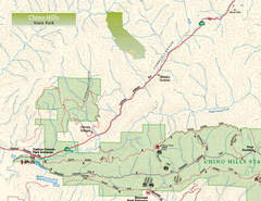
Chino Hills State Park NW Map
Map of NW portion of park with detail of trails and recreation zones
58 miles away
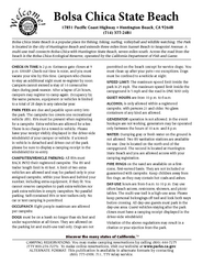
Bolsa Chica State Beach Map
Map of park with detail of of trails and recreation zones
59 miles away
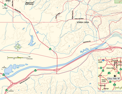
China Camp State Park SW Map
Map of SW portion of park with detail of trails and recreation zones
60 miles away
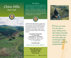
Chino Hills State Park Map
Map of park with detail of trails and recreation zones
61 miles away
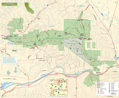
Chino Hills State Park Map
Overview map of park with detail of trails and recreation zones
61 miles away
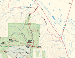
Chino Hills State Park NE Map
Map of NE portion of park with detail of trails and recreation zones
61 miles away
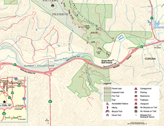
Chino Hills State Park SE Map
Map of SE portion park with detail of trails and recreation zones
63 miles away
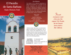
El Presidio de Santa Barbara State Park Map
63 miles away
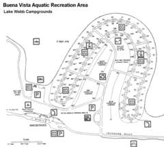
Buena Vista Aquatic Recreation Area, Lake Webb...
67 miles away
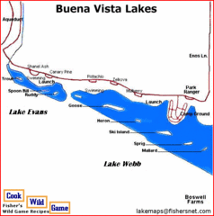
Buena Vista Lakes Map
Buena Vista Aquatic Recreation Area is located off of Taft Highway, 23 miles southwest of...
68 miles away
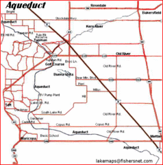
California Aquaduct Map in Kern County
The California Aqueduct is the principal water conveyance structure for the California State Water...
68 miles away

