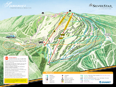
Silver Star Mountain Resort Summer Ski Trail Map
Trail map from Silver Star Mountain Resort.
0 miles away
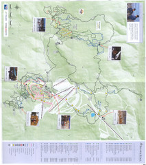
Silver Star Mountain Resort Nordic Ski Trail Map
Trail map from Silver Star Mountain Resort.
0 miles away
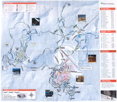
Sovereign Lake Ski Trail Map
Trail map from Sovereign Lake, which provides night and nordic skiing. This ski area has its own...
2 miles away
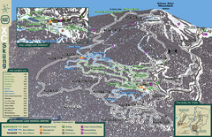
Sovereign Lake Nordic Ski Trail Map
Trail map from Sovereign Lake, which provides night and nordic skiing. This ski area has its own...
2 miles away
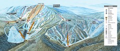
Alpine Mountain Trail Map
Ski trails on Alpine Mountain
5 miles away
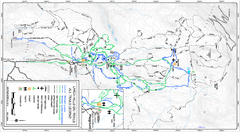
Larch Hills Nordics All Ski Trail Map
Trail map from Larch Hills Nordics, which provides night and nordic skiing. This ski area has its...
24 miles away
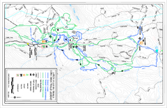
Larch Hills Nordics Core Ski Trail Map
Trail map from Larch Hills Nordics, which provides night and nordic skiing. This ski area has its...
24 miles away
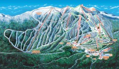
Big White Ski Trail Map
Official ski trail map of Big White ski area from the 2007-2008 season.
44 miles away
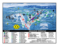
Crystal Mountain Resort Ski Trail Map
Trail map from Crystal Mountain Resort, which provides downhill skiing. This ski area has its own...
44 miles away
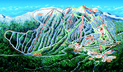
Big White Ski Resort Ski Trail Map
Trail map from Big White Ski Resort, which provides downhill, night, nordic, and terrain park...
44 miles away
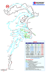
Telemark Cross Country Ski Trail Map
Trail map from Telemark Cross Country, which provides nordic skiing. This ski area has its own...
45 miles away
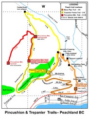
Peachland Walks Map
Guide to Pincushion and Trepanier Trails in Peachland, BC
50 miles away
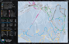
Sun Peaks Resort Nordic Ski Trail Map
Trail map from Sun Peaks Resort, which provides downhill, nordic, and terrain park skiing. This ski...
51 miles away
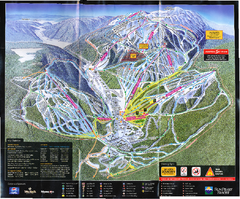
Sun Peaks Resort Ski Trail Map
Trail map from Sun Peaks Resort, which provides downhill, nordic, and terrain park skiing. This ski...
51 miles away
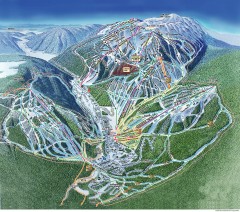
Sun Peaks Ski Trail Map
Official ski trail map of Sun Peaks ski area from the 2006-2007 season.
53 miles away
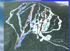
2004–09 Harper Mountain Map
Trail map from Harper Mountain, which provides downhill and nordic skiing. This ski area has its...
54 miles away
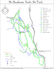
Mt Macpherson Nordic Ski Trail map
Nordic ski trail map of Mt Macpherson area near Revelstoke, BC. Shows trail names and distances in...
54 miles away
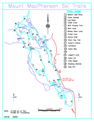
Revelstoke Nordic—Mount MacPherson Nordic Ski...
Trail map from Revelstoke Nordic—Mount MacPherson, which provides nordic skiing. This ski area...
55 miles away
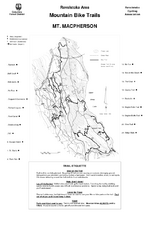
Mt. Macpherson Mountain Bike Trail Map
Mountain bike trail maps of Mt. Macpherson area and Mt. Mackenzie area right out of the town of...
56 miles away
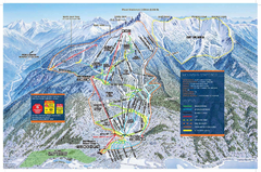
Revelstoke Ski Trail Map - Front side
Ski trail map of front side of Revelstoke ski area in Revelstoke, Canada from the 2008-2009 season.
58 miles away

Apex Mountain Ski Resort Map
Apex Mountain Trail Map, Lifts and Elevations
58 miles away
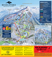
Revelstoke Ski Trail Map 2010-11
Ski trail map of Revelstoke Mountain Resort for the 2010-2011 season. Inset shows North Bowl area.
58 miles away
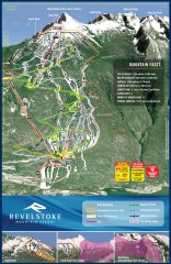
Revelstoke Ski Trail Map
Official ski trail map of Revelstoke ski area from the inaugural 2007-2008 season.
59 miles away
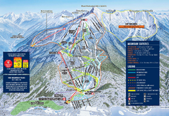
Revelstoke Ski Trail Map 2009-2010
Official ski trail map of Revelstoke Mountain Resort from the 2009-2010 season.
59 miles away
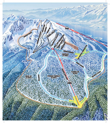
Revelstoke Ski Trail Map - North Bowl
Ski trail map of the North Bowl of Revelstoke ski area in Revelstoke, BC. From the 2008-2009...
59 miles away
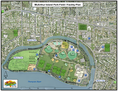
MacArthur Island Park Map
Park map of MacArthur Island Park in the Thompson River in Kamloops, BC. Shows Rivers Trail...
63 miles away
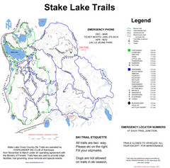
Stake Lake Nordic Ski Trail Map
Trail map from Stake Lake.
64 miles away
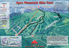
Apex Mountain Resort Biking Ski Trail Map
Trail map from Apex Mountain Resort, which provides downhill and terrain park skiing. It has 5...
77 miles away
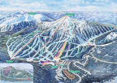
Apex Mountain Ski Trail Map
Official ski trail map of Apex Mountain ski area
77 miles away
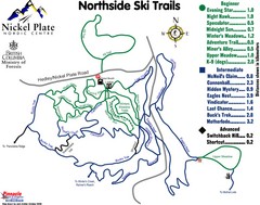
Nickel Plate Nordic Centre North Ski Trail Map
Trail map from Nickel Plate Nordic Centre.
79 miles away
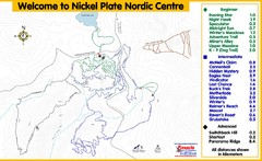
Nickel Plate Nordic Centre Ski Trail Map
Trail map from Nickel Plate Nordic Centre.
79 miles away
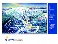
Mt. Baldy Family Ski Area Ski Trail Map
Trail map from Mt. Baldy Family Ski Area.
84 miles away
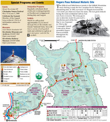
Glacier National Park and Revelstoke National...
Official park map of Glacier National Park and Revelstoke National Park in British Columbia, Canada.
84 miles away
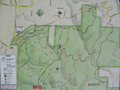
Kettle Valley Trails Map
Map of Kettle Valley Trails. Includes all trails, streets, and attractions.
87 miles away
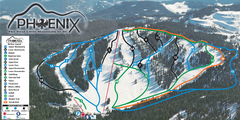
Phoenix Mountain Ski Trail Map
Trail map from Phoenix Mountain.
89 miles away
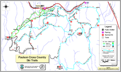
Paulson X-C (Castlegar Nordic) Ski Trail Map
Trail map from Paulson X-C (Castlegar Nordic), which provides nordic skiing. This ski area has its...
90 miles away
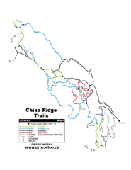
China Ridge XC Ski Trail Map
Trail map from China Ridge XC, which provides nordic skiing.
91 miles away
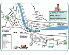
Ashcroft Map
Map of Ashcroft, includes all streets, highways, accommodations and attractions.
101 miles away
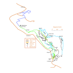
2006–08 Black Jack Nordic Map
Trail map from Black Jack.
103 miles away
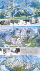
Red Mountain Ski Trail Map
Trail map from Red Mountain.
103 miles away

