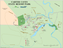
Carter Caves State Resort Park Map
Map of trails and facilities of Carter Caves State Resort Park.
0 miles away
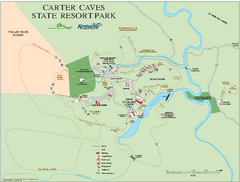
Carter Caves State Resort Park map
Detailed recreation map for Carter Caves State Park in Kentucky
less than 1 mile away
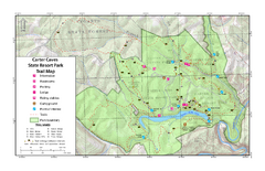
Carter Caves State Resort Park Topographic Trails...
Topographic map of the trails of Carter Caves State Resort Park.
less than 1 mile away
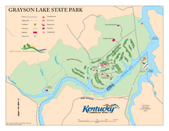
Grayson Lake State Park Map
Map of trails, facilities and golf course in Grayson Lake State Park.
13 miles away
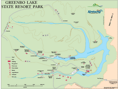
Greenbo Lake State Resort Park map
Detailed recreation map for Greenbo Lake State resort park in Kentucky
15 miles away
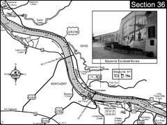
Ohio River at Maysville, Kentucky Map
This is a page from the Ohio River Guidebook. The map shows important information for boaters and...
42 miles away
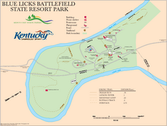
Blue Licks Battlefield State Resort Park Map
Map of Trails and Facilities in Blue Licks Battlefield State Resort Park.
51 miles away
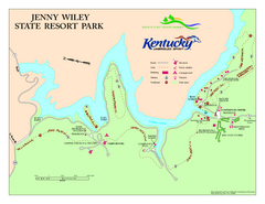
Jenny Wiley State Resort Park Map
Map of trails and facilities of Jenny Wiley State Resort Park.
51 miles away
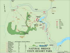
Natural Bridge State Resort Park map
Recreation map for Natural Bridge State Park in Kentucky
52 miles away
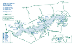
Rocky Fork State Park map
Detailed recreation map for Rocky Fork State Park in Ohio
60 miles away

Paint Creek State Park map
Detailed recreation map for Paint Creek State Park in Ohio
64 miles away
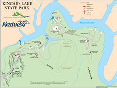
Kincaid Lake State Park Map
Map of trails, facilities and golf course in Kincaid Lake State Park.
67 miles away
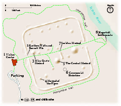
Hopewell Culture National Historical Park...
Official NPS map of Hopewell Culture National Historical Park in Ohio. Map shows all areas. he...
69 miles away
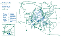
East Fork State Park map
Detailed recreation map for East Fork State Park in Ohio
70 miles away

Tar Hollow State Park map
Detailed recreation map for tar Hollow State Park in Ohio
73 miles away
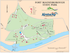
Fort Boonesborough State Park Map
Map of trails, historical sites and facilities at Fort Boonesborough State Park.
74 miles away
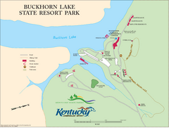
Buckhorn Lake State Resort Park Map
Map of Trails and Facilities of Buckhorn Lake State Resort Park.
74 miles away
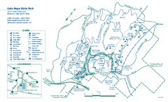
Lake Hope State Park map
Detailed recreation map for Lake Hope State Park in Ohio
78 miles away
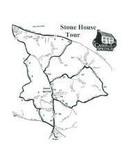
Stone House Trail Map
80 miles away

Coney Island Amusement Park Map
Amusement park map. 513-232-8230
85 miles away
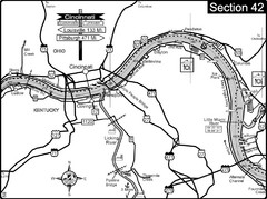
Ohio River at Cincinnati, Ohio and Newport, KY Map
This is a page from the Ohio River Guidebook. The map shows important information for boaters and...
89 miles away
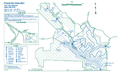
Strouds Run State Park map
Detailed recreation map for Strouds Run State Park in Ohio.
89 miles away
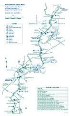
Little Miami State Park map
Detailed recreation map for Little Miami State Park and surrounding area in Ohio
93 miles away
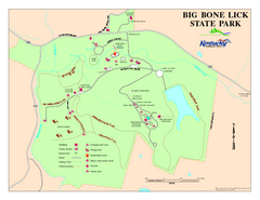
Big Bone Lick State Park Map
Map of trails and facilities for Big Bone Lick State Park.
95 miles away
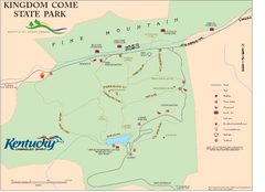
Kingdom Come State Park Map
Trail map for Kingdom Come State Park.
96 miles away
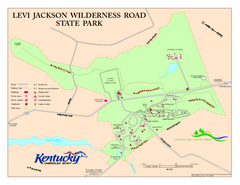
Levi Jackson Wilderness Road State Park Map
Map of trails and facilities of Levi Jackson Wilderness Road State Park.
102 miles away
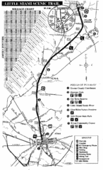
Little Miami Scenic Trail Map
Map of the Little Miami Scenic Trail biking route from Xenia, Ohio to Yellow Springs, Ohio. Shows...
104 miles away
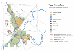
Three Creeks Park Map
105 miles away
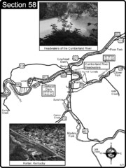
Harlan, KY-Cumberland River Headwaters Map
Section 58 of the Cumberland River Guidebook shows the beginning of the Cumberland River at the...
106 miles away
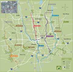
Columbus Bike Map
Bike trails in Columbus.
108 miles away
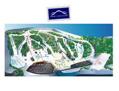
Perfect North Slopes Ski Trail Map
Trail map from Perfect North Slopes, which provides downhill, nordic, and terrain park skiing. It...
109 miles away
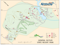
General Butler State Resort Park Map
Map of trails, facilities and golf course in General Butler State Resort Park.
112 miles away
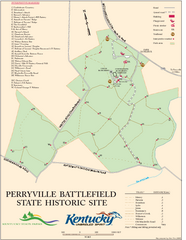
Perryville Battlefield State Historic Site Map
Map of trails and interpretive markers for the historical site of Perryville Battlefield.
112 miles away
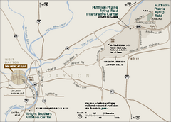
Dayton Aviation Heritage National Historical Park...
Official NPS map of Dayton Aviation Heritage National Historical Park in Ohio. Dayton Aviation...
112 miles away
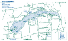
Buckeye Lake State Park map
Detailed recreation map for the Buckeye Lake area in Ohio
113 miles away
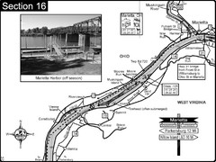
Ohio River at Marietta, OH and 8 miles downriver...
This is a page from the Ohio River Guidebook. The map shows important information for boaters and...
114 miles away
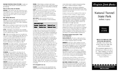
Natural Tunnel State Park Map
Detailed and informative state park map and legend.
114 miles away
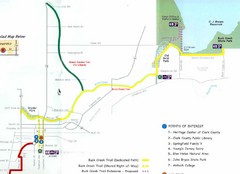
Buck Creek Trail Map
114 miles away
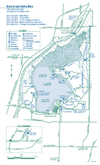
Buck Creek State Park map
Detailed recreation map for Buck Creek State Park in Ohio
115 miles away
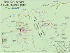
Pine Mountain State Resort Park Map
Map of trails and facilities in Pine Mountain State Resort Park .
118 miles away

