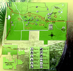
Highlands Hammock State Park Map
0 miles away
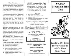
Alafia River State Park Bike Trail Map
Map of park with detail of various bike trails throughout
41 miles away
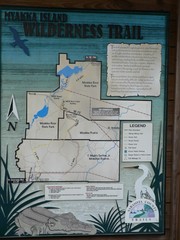
Myakka Island Trail Map
Trail map of Myakka Island. From photo.
47 miles away
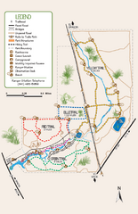
Oscar Scherer State Park Trail Map
Map of park with detail of hiking trails throughout
60 miles away
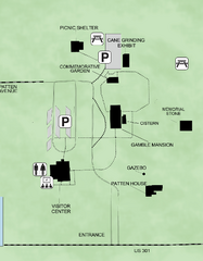
Gamble Plantation Historic State Park Map
Map of park with detail of recreation zones
61 miles away
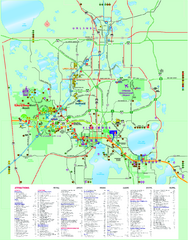
Popular Attractions in Kissimmee, Florida Map
Map of various attractions near Kissimmee, Florida. Shops, theme parks, golf courses and other...
61 miles away
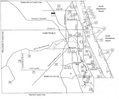
Birdwatching Areas in St. Lucie County Florida Map
Map shows Birdwatching Areas in St. Lucie County, Florida.
62 miles away
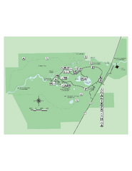
Hillsborough River State Park Map
Map of park with detail of trails and recreation zones
63 miles away
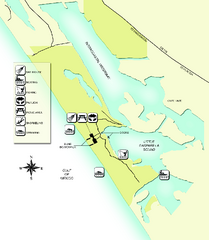
Don Pedro Island State Park Map
Map of park with detail of trails and recreation zones
64 miles away
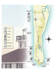
Gasparilla Island State Park Map
Map of park with detail of trails and recreation zones
67 miles away
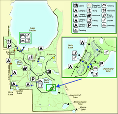
Lake Louisa State Park Map
Map of park with detail of trails and recreation zones
69 miles away
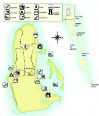
Cayo Costa State Park Map
Map of park with detail of trails and recreation zones
70 miles away
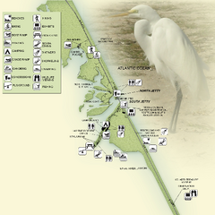
Sebastian Inlet State Park Map
Map of park with detail of trails and recreation zones
72 miles away
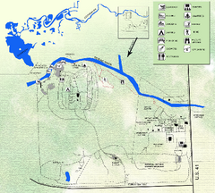
Koreshan State Historic Site Map
Map of park with detail of trails and recreation zones
74 miles away
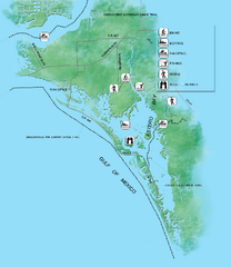
Estero Bay Preserve State Park Map
Map of park with detail of trails and recreation zones
75 miles away
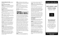
Holiday Lake State Park Map
Easy to read state park map.
76 miles away
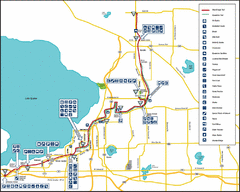
West Orange Trail Map
Trail map from Oakland to Apopka
78 miles away
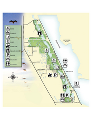
Savannas Preserve State Park Map
Map of park with detail of trails and recreation zones
78 miles away
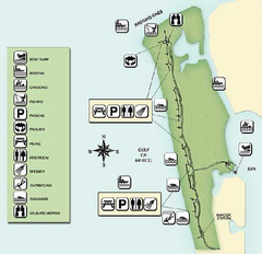
Delnor-Wiggings Pass State Park Map
Map of park with detail of trails and recreation zones
84 miles away
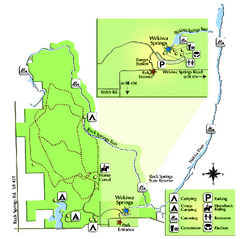
Wekiwa Springs State Park Map
Map of park with detail of trails and recreation zones
87 miles away
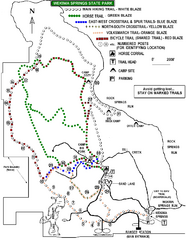
Wekiwa Springs State Park Trail Map
Trail map of park
88 miles away
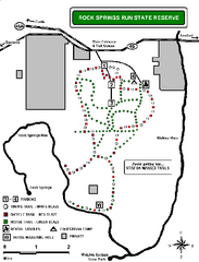
Rock Springs Run State Reserve Trail Map
Map of various trails throughout reserve
92 miles away
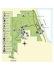
Jonathan Dickinson State Park Map
Map of park with detail of trails and recreation zones
92 miles away
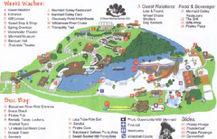
Weeki Wachee Springs State Park Map
Map of park
96 miles away
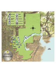
Lake Griffin State Park Map
Map of park with detail of trails and recreation zones
99 miles away
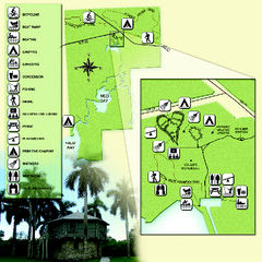
Collier-Seminole State Park Map
Map of park with detail of trails and recreation zones
103 miles away
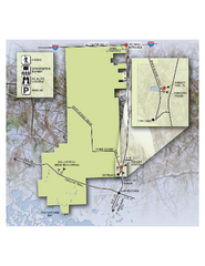
Fakahatchee Strand Preserve State Park Map
Map of park
106 miles away
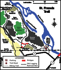
St. Francis Trail Map
The trail is located in Volusia county, about a mile from Deland. It is about an hour from Ocala.
111 miles away
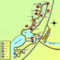
Homosassa Springs Wildlife State Park map
Map of park with detail of trails and recreation zones
112 miles away
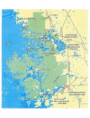
Crystal River Preserve State Park Map
Map of park with detail of recreation zones
116 miles away
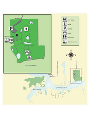
Crystal River Archeological State Park Map
Map of park with detail of trails and recreation zones
120 miles away
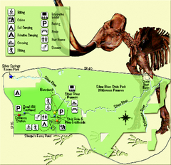
Silver River State Park Map
Map of park with detail of trails and recreation zones
124 miles away
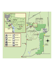
Rainbow Springs State Park Map
Map of park with detail of recreation zones
125 miles away
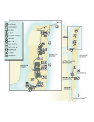
John U. Lloyd Beach State Park Map
Map of park with detail of trails and recreation zones
131 miles away
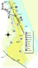
Tomoka State Park Map
Map of park with detail of recreation zones
132 miles away
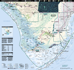
Everglades National Park Map
Official NPS map of Everglades National Park
142 miles away
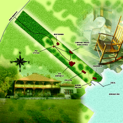
The Barnacle Historic State Park Map
Map of park
145 miles away
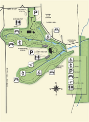
Ravine Gardens State Park Map
Map of park with detail of trails and recreation zones
150 miles away
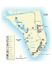
Bill Baggs State Recreation Area Map
Map of park with detail of various recreation zones
151 miles away
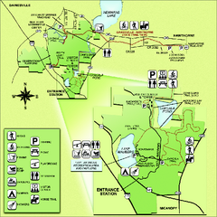
Paynes Prairie State Preserve Map
Map of preserve with detail of trails and recreation zones
153 miles away

