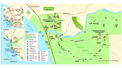
San Simeon State Park Map
Map of park with detail of trails and recreation zones
0 miles away
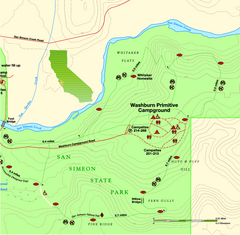
San Simeon State Park East Map
Map of east region of park with detail of trails and recreation zones
less than 1 mile away
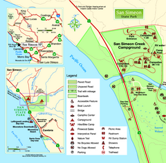
San Simeon State Park West Map
Map of west region of park with detail of trails and recreation zones
less than 1 mile away
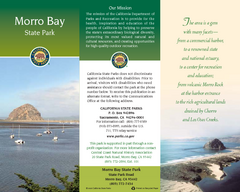
Morro Bay State Park Map
Map of park with detail of trails and recreation zones
24 miles away
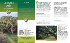
Los Osos Oaks State Reserve Map
Map of reserve with detail of trails and recreation zones
31 miles away
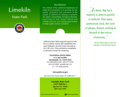
Limeklin State Park Map
Map of park with detail of trails and recreation zones
36 miles away
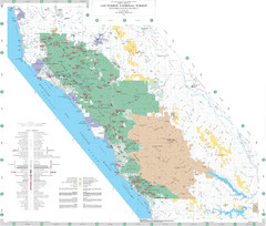
Los Padres National Forest Map - North
Overview map of the northern section of Los Padres National Forest in the Monterey Ranger District...
40 miles away
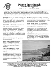
Pismo Beach North Campground Map
Map of park with detail of trails and recreation zones
42 miles away
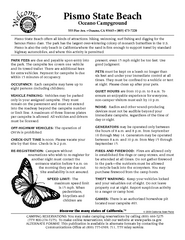
Pismo Beach Oceano Campground Map
Map of oceano campground region of park with detail of trails and recreation zones
43 miles away
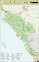
Ventana Wilderness Trails Map
Trail map of the Ventana Wilderness east of Big Sur. Also shows trails in the Silver Peak...
43 miles away
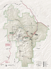
Pinnacles National Monument Map
62 miles away
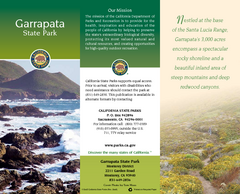
Garrapata State Park Map
Map of park with detail of trails and recreation zones
75 miles away
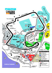
Laguna Seca Raceway Map
Overview map of the Laguna Seca Raceway. Shows track, parking, and facilities.
77 miles away
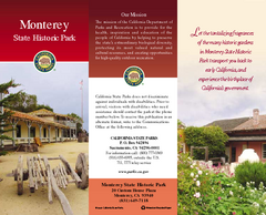
Monterey State Historic Park Map
Map of park with detail of trails and recreation zones
82 miles away
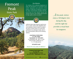
Fremont Peak State Park Map
Map of park with detail of trails and recreation zones
83 miles away
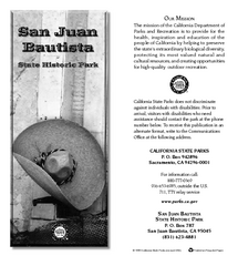
San Juan Bautista State Historic Park Map
Map of park with detail of trails and recreation zones
90 miles away
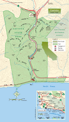
Gaviota State Park Zoom Map
Zoom map of park with detail of trails and recreation zones
91 miles away
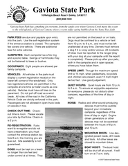
Gaviota State Park Campground Map
Map of campground region of park with detail of trails and recreation zones
91 miles away
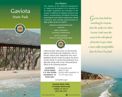
Gaviota State Park Map
Map of park with detail of trails and recreation zones
91 miles away
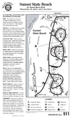
Sunset State Beach Campground Map
Map of park with detail of trails and recreation zones
98 miles away
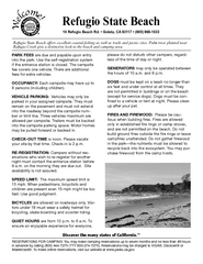
Refugio State Beach Campground Map
Map of campground region of beach with detail of trails and recreation zones
98 miles away
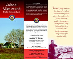
Colonel Allensworth State Historic Park Map
Map of park with detail of trails and recreation zones
99 miles away
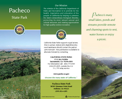
Pacheco State Park Map
Map of park with detail of trails and recreation zones
99 miles away
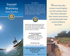
Sunset & Manresa State Beaches Map
Map of beaches and parks with detail of trails and recreation zones
99 miles away
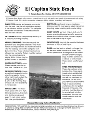
El Capitan State Beach Campground Map
Map of campground region park with detail of trails and recreation zones
100 miles away
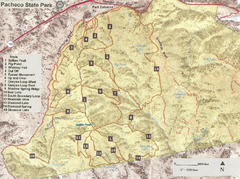
Pacheco State Park Trail Map
Map of park with details of different trails
101 miles away
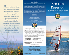
San Luis Reservoir State Recreation Area Map
Map of park and reservoir with detail of trails and recreation zones
102 miles away
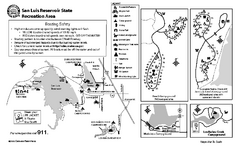
San Luis Reservoir State Recreation Area...
Map of campground region of park and reservoir with detail of trails and recreation zones
102 miles away
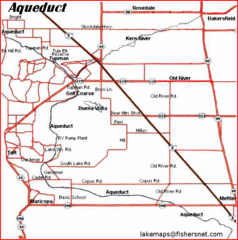
California Aquaduct Map in Kern County
The California Aqueduct is the principal water conveyance structure for the California State Water...
104 miles away
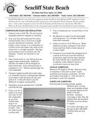
Seacliff State Beach Campground Map
Map of campground region of beach and park with detail of trails and recreation zones
105 miles away
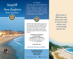
Seacliff & New Brighton State Beaches Map
Map of beaches and parks with detail of trails and recreation zones
106 miles away
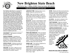
New Brighton State Beach Campground Map
Map of campground region of beach/park with detail of trails and recreation zones
106 miles away
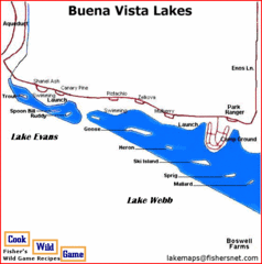
Buena Vista Lakes Map
Buena Vista Aquatic Recreation Area is located off of Taft Highway, 23 miles southwest of...
107 miles away
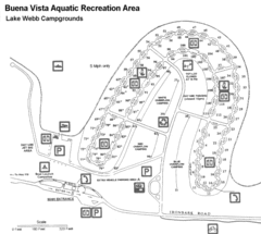
Buena Vista Aquatic Recreation Area, Lake Webb...
108 miles away
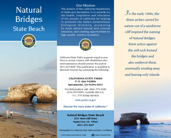
Natural Bridges State Beach Map
Map of beach and park with detail of trails and recreation zones
108 miles away
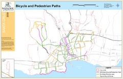
Santa Cruz, CA Bike Map
108 miles away
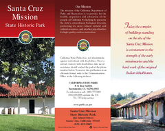
Santa Cruz Mission State Historic Park Map
Map of park and mission
108 miles away
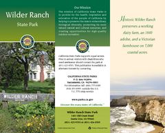
Wilder Ranch State Park Map
Map of park with detail of trails and recreation zones
110 miles away
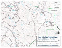
Henry W. Coe State Park, Dowdy Ranch Map
Henry W. Coe State Park Southeast Entrance Trail Map.
110 miles away
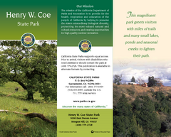
Henry W. Coe State Park Map
Map of park with detail of trails and recreation zones
113 miles away

