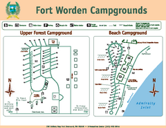
Fort Worden Campgrounds Map
Map of park campgrounds
0 miles away
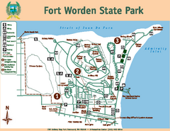
Fort Worden State Park Map
Map of park with detail of trails and recreation zones
less than 1 mile away
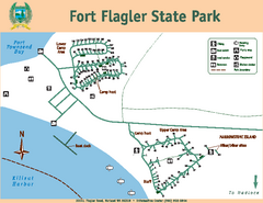
Fort Flagler State Park Map
Map of park with detail of trails and recreation zones
4 miles away
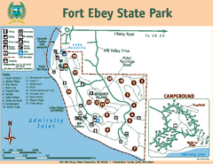
Fort Ebey State Park Map
Map of park with detail of trails and recreation zones
6 miles away
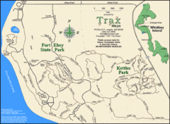
Ft Ebey/Kettle Park Trail Map
Trail map of Fort Ebey Park and Kettle Park, Washington
6 miles away
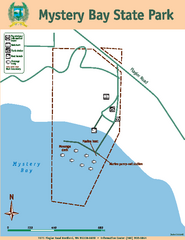
Mystery Bay State Park Map
Map of park with detail of trails and recreation zones
6 miles away
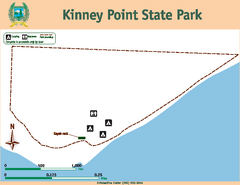
Kinney Point State Park Map
Map of island with detail of trails and recreation zones
7 miles away
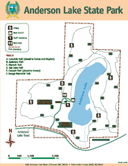
Anderson Lake State Park Map
Map of park and trails
8 miles away
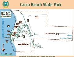
Cama Beach State Park Map
Map of park with detail of trails and recreation zones
11 miles away
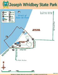
Joseph Whidbey State Park Map
Map of park with detail of trails and recreation zones
12 miles away
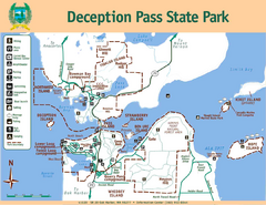
Deception Pass State Park Map
Map of park with detail of trails and recreation zones
19 miles away
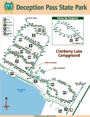
Deception Pass State Park Map
Map of park with detail of trails and recreation zones
20 miles away
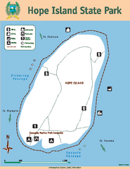
Hope Island State Park Map
Map of park with detail of trails and recreation zones
21 miles away
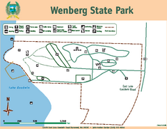
Wenberg State Park Map
Map of park with detail of trails and recreation zones
22 miles away
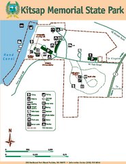
Kitsap Memorial State Park Map
Map of island with detail of trails and recreation zones
23 miles away
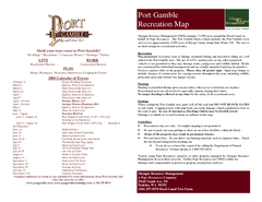
Stottlemeyer trails Map
23 miles away
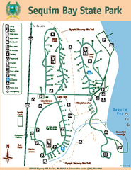
Sequim Bay State Park Map
Map of park with detail of trails and recreation zones
27 miles away
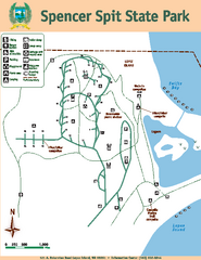
Spencer Spit State Park Map
Map of park with detail of trails and recreation zones
28 miles away
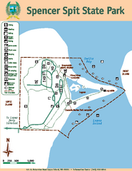
Spencer Spit State Park Map
Map of park with detail of trails and recreation zones
28 miles away
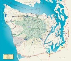
Olympic National Park and Peninsula Map
Guide to the Olympic National Park and surrounding region
28 miles away
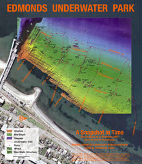
Edmonds Underwater Park Map
Map of underwater park for divers
29 miles away
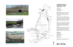
Spencer Island Park map
30 miles away
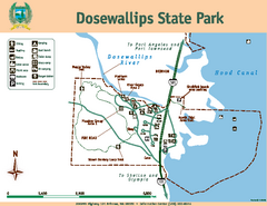
Dosewallips State Park Map
Map of park with detail of trails and recreation zones
32 miles away
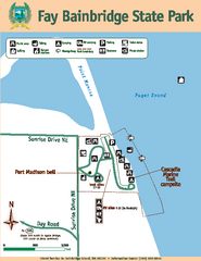
Fay Bainbridge State Park Map
Map of park with detail of trails and recreation zones
32 miles away
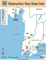
Obstruction Pass State Park Map
Map of park with detail of trails and recreation zones
32 miles away
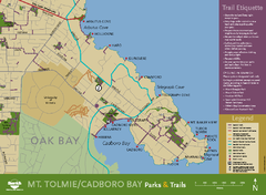
Mt. Tolmie & Cadboro Bay Map
Section of larger map, showing Seaside Touring Route and other regional and local cycling routes...
33 miles away
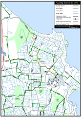
Cycling routes to UVic Map
Bike Route Map of Local Area around UVic © 2007, University of Victoria Updated 17 April...
33 miles away
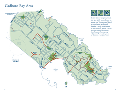
Cadboro Bay Area Map
33 miles away
BEACON HILL PARK MAP
33 miles away
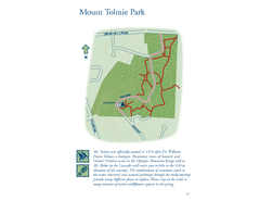
Mount Tolmie Park Map
34 miles away
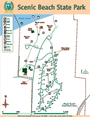
Scenic Beach State Park Map
Map of park with detail of trails and recreation zones
34 miles away

Centennial Trail Map
Centennial Trail has 23 miles completed (Snohomish to Bryant) with more in progress.
34 miles away
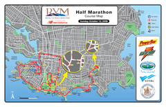
2008 Royal Victoria Half Marathon Map
Course Map for the Royal Victoria Half Marathon. Held Sunday, October 12, 2008
34 miles away
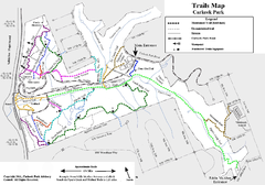
Carkeek Park Trail Map
Trail map of Carkeek Park on the Puget Sound, Seattle, WA. Shows maintained and unmaintained trails.
35 miles away
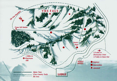
Hurricane Ridge Ski Trail Map
Trail map from Hurricane Ridge.
35 miles away

Centennial Trail Map
35 miles away
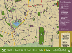
Swan Lake & Cedar Hill Area Map
Swan Lake & Cedar Hill Parks & Trails
35 miles away
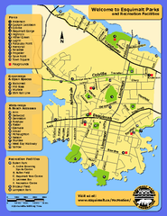
Welcome to Esquimalt Parks and Recreation...
36 miles away
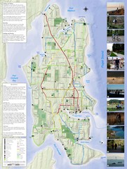
Bainbridge Island Hiking and Biking Map
Shows trails and bike routes on Bainbridge Island, Washington in the Puget Sound. Also shows...
36 miles away

