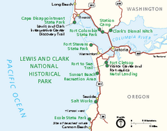
Lewis & Clark National Historic Trail...
Official NPS map of Lewis & Clark National Historic Trail in Oregon-Washington. Shows all areas...
0 miles away
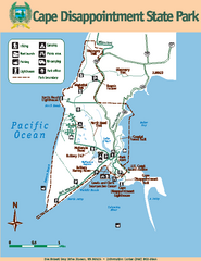
Cape Dissapointment State Park Map
Map of park with detail of trails and recreation zones
2 miles away
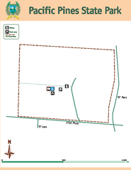
Pacific Pines State Park Map
Map of park with detail of trails and recreation zones
17 miles away
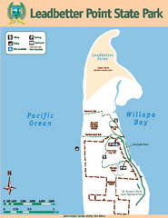
Leadbetter Point State Park Map
Map of park with detail of recreation zones and trails
25 miles away
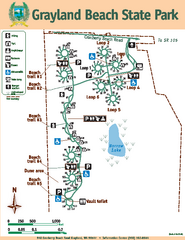
Grayland Beach State Park Map
Map of park with detail of trails and recreation zones
37 miles away
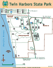
Twin Harbors State Park Map
Map of park with detail of trails and recreation zones
42 miles away
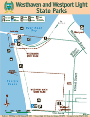
Westhaven/Westport Light State Parks Map
Map of park with detail of trails and recreation zones
45 miles away
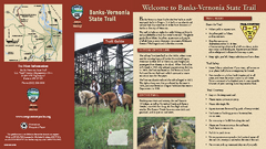
BANKS-VERNONIA STATE TRAIL Map
48 miles away
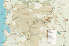
Tillamook State Forest Map
Recreation map of Tillamook State Forest. Over 60 miles of non-motorized trails and 150 miles of...
51 miles away
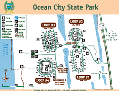
Ocean City State Park Map
Map of park with detail of trails and recreation zones
55 miles away
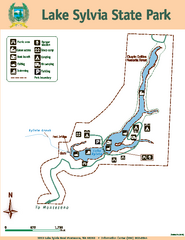
Lake Sylvia State Park Map
Map of island with detail of trails and recreation zones
56 miles away
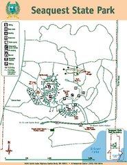
Seaquest State Park Map
Map of park with detail of trails and recreation zones
59 miles away
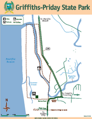
Griffiths-Priday State Park Map
Griffiths-Priday State Park
61 miles away
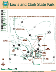
Lewis and Clark State Park Map
Map of park with detail of recreation zones and trails
62 miles away
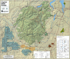
Capitol State Forest Map
Shows all trails in Capitol State Forest and surrounding area, including Lower Chehalis State...
63 miles away
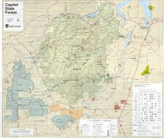
Capitol State Forest Map
64 miles away
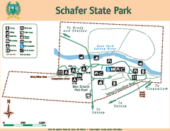
Schafer State Park Map
Map of park with detail of trails and recreation zones
65 miles away
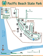
Pacific Beach State Park Map
Map of park with detail of trails and recreation zones
67 miles away
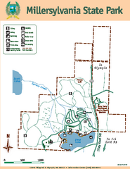
Millersylvania State Park Map
Map of park with detail of trails and recreation zones
71 miles away
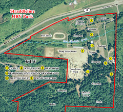
Grays Harbor County Straddleline ORV Park...
Park Map near Olympia
72 miles away
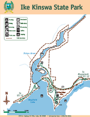
Ike Kinswa State Park Map
Map of park with detail of trails and recreation zones
75 miles away
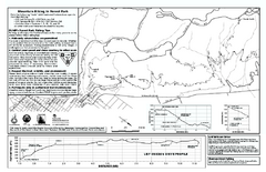
Forest Park Mountain Biking Map
Forest Park now includes over 5,100 wooded acres making it the largest, forested natural area...
78 miles away
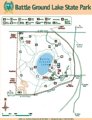
Battle Ground Lake State Park Map
Map of park with detail of trails and recreation zones
81 miles away
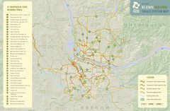
Bi-State Regional Trail System Plan Map
Shows plan for developing 37 Bi-State Regional Trails
81 miles away
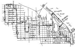
Pearl District Walking Map, Portland Oregon Map
Walk through the Pearl District, along the Willamette River and up to 23rd Street. Detour to the...
82 miles away
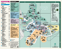
Oregon Zoo Map 2009
82 miles away
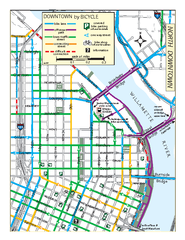
North Downtown Portland Bike Parking Map
Biking map of northern downtown Portland, Oregon. Shows bike paths, parking, and stores.
83 miles away
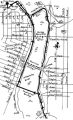
Portland Oregon downtown walk Map
Walk from the Amtrak Station to the Oregon Museum of Science and Industry. 4 miles round trip...
83 miles away
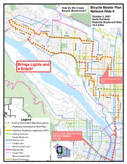
Portland, Oregon Bike Map
83 miles away
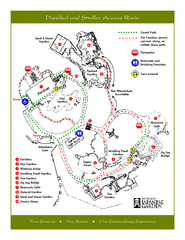
Portland Japanese Garden Map
So Far My favorite Japanese Garden
83 miles away
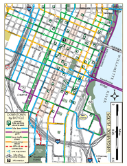
South Downtown Portland Bike Map
Biking map of southern downtown Portland, Oregon. Shows bike paths, bike parking, and bike shops.
83 miles away
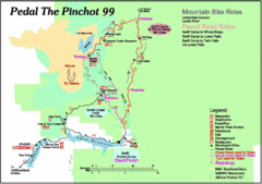
Pedal the Pinchot Bike Ride Route Map
Route Map for the Pedal the Pinchot 99 bike ride - annotated on a Park trail map.
85 miles away
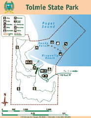
Tolmie State Park Map
Map of park with detail of trails and recreation zones
85 miles away
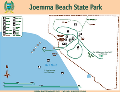
Joemma Beach State Park Map
Map of park with detail of trails and recreation zones
89 miles away
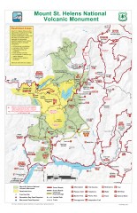
Mt. Saint Helens National Volcanic Monument...
Official recreation map showing all roads, trails, campgrounds, and other facilities. Also shows...
89 miles away
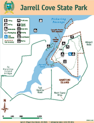
Jarrell Cove State Park Map
Map of park with detail of trails and recreation zones
90 miles away
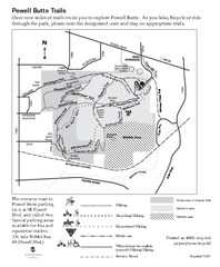
Powell Butte Nature Park Trail Map
Trail map of Powell Butte Nature Park. Shows over 9 miles of trails
91 miles away
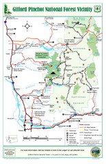
Gifford Pinchot National Forest Vicinity Map
Gifford Pinchot National Forest and surrounding areas including Mt. St Helens.
92 miles away
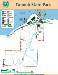
Twanoh State Park Map
Map of park with detail of trails and recreation zones
93 miles away
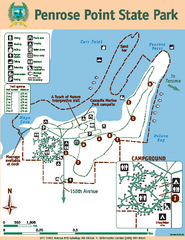
Penrose Point State Park Map
Map of park with detail of trails and recreation zones
93 miles away

