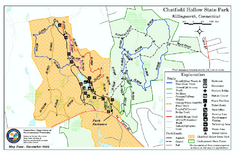
Chatfield Hollow State Park map
Trail map of Chatfield Hollow State Park
0 miles away
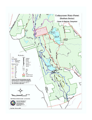
Cockaponset State Forest South Section trail map
Trail map for the South Section of Cockaponset State Forest in Connecticut.
5 miles away
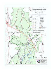
Cockaponset State Forest North Section trail map
Trail map for the north section of Cockaponset State Forest in Connecticut
7 miles away
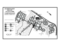
Hammonasset Beach State Park campground map
Campground map of Hammonasset State Park in Connecticut.
7 miles away
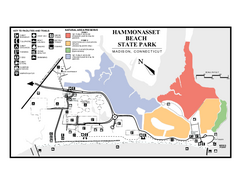
Hammonasset Beach State Park map
Trail map for Hammonasset Beach State Park in Connecticut.
7 miles away
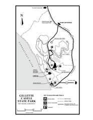
Gillette State Park trail map
Trail map of Gillette Castle State Park in Connecticut.
9 miles away
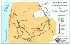
Hurd State Park trail map
Trail map for Hurd State Park in Connecticut.
11 miles away
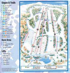
Powder Ridge Ski Area Ski Trail Map
Trail map from Powder Ridge Ski Area.
12 miles away
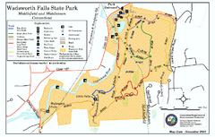
Wadsworth Falls State Park map
Trail map of Wadsworth Falls State Park in Connecticut.
12 miles away
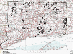
Connecticut State Forests Map
This is a map of all of the state forest boundaries in Connecticut. Follow the source web address...
12 miles away
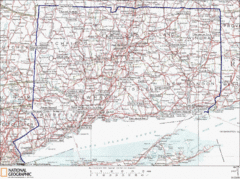
Connecticut State Parks Map
This is statewide map for Connecticut state parks. Go to the source website for detailed hiking...
13 miles away
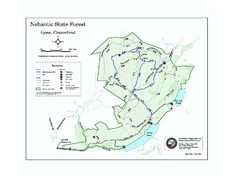
Nehantic State Forest map
Trail map of Nehantic State Forest in Connecticut.
15 miles away
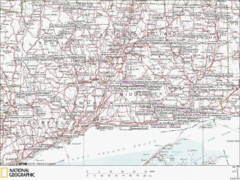
Connecticut Canoeing and Kayaking Lakes Map
A map of the lakes and ponds that are open for canoeing and kayaking in Connecticut. For detailed...
15 miles away
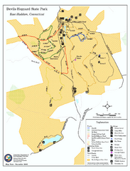
Devils Hophard State Park map
Trail and camprground map for Devils Hopyard State Park in Connecticut.
15 miles away
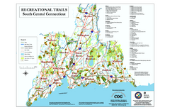
South Central Connecticut Recreational Trail Map
Map of South Central Connecticut showing all recreational trails and open spaces.
15 miles away
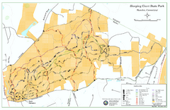
Sleeping Giant State Park map
Trail map for Sleeping Giant State Park in Connecticut.
16 miles away
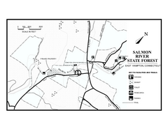
Salmon River State Forest trail map
Trail map for Salmon River State Forest in Connecticut.
16 miles away
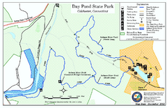
Daypond State Park map
Trail map for Day Pond State Park
16 miles away
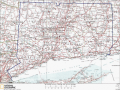
Connecticut Rock Climbing Locations Map
A map of most of the important rock climbing and bouldering areas in Connecticut. Click the link...
18 miles away
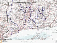
Connecticut Rivers and Coastal Paddling Map
This is a map of paddling areas for rivers and coastal kayaking. Follow the link below for...
18 miles away
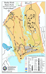
Rocky Neck State Park trail map
Trail map of Rocky Neck State Park in Connecticut.
19 miles away
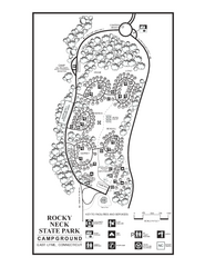
Rocky Neck State Park campground map
Campground map of Rocky Neck State Park in Connecticut.
19 miles away
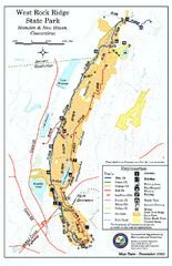
West Rock Ridge State Park map
Trail map of West Rock Ridge State Park in Connecticut.
19 miles away
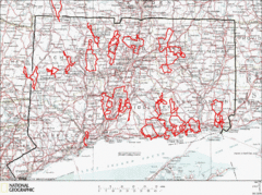
Connecticut Road Cycling Routes Map
A map of road cycling routes throughout Connecticut. Follow the link below for detailed route maps...
19 miles away
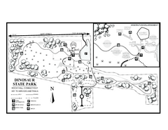
Dinosaur State Park map
Trail map of Dinosaur State Park in Connecticut.
20 miles away
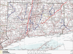
Connecticut Long Distance Trails Map
A map of long distance trails throughout Connecticut. Go to the website below for detailed trail...
22 miles away
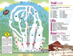
Mount Southington Ski Trail Map
Official ski trail map of Mount Southington ski area from the 2007-2008 season.
23 miles away
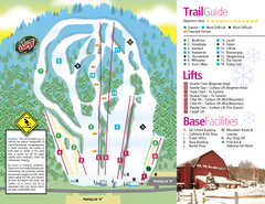
Mt. Southington Ski Area Ski Trail Map
Trail map from Mt. Southington Ski Area, which provides downhill, night, and terrain park skiing...
23 miles away
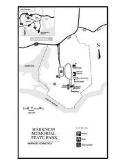
Harkness Memorial State Park map
Trail map of Harkness Memorial State Park in Connecticut.
25 miles away
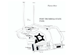
Fort Trumbull State Park map
Map of Fort Trumbull State Park in Connecticut.
26 miles away
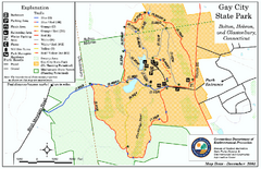
Gay City State Park trail map
Trail map of Gay City State Park in Connecticut.
26 miles away
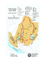
Osbornedale State Park map
Trail map of Osborndale State Park in Connecticut.
27 miles away
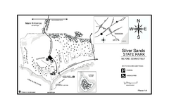
Silver Sands State Park map
Trail and campground map of Silver Sands State Park in Connecticut.
27 miles away
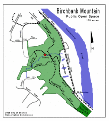
Birchbank Park Map
Several miles of moderately difficult trails along the Housatonic River bluff, including the...
28 miles away
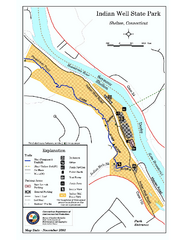
Indian Well State Park map
Trail map for Indian Well State Park in Connecticut.
28 miles away
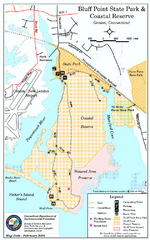
Bluff Point State Park map
Trail map for Bluff Point State Park and Coastal Reserve.
29 miles away
Appalachian National Scenic Trail Map
Scenic trail Maine to Georgia
30 miles away
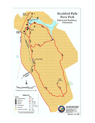
Southford Falls State Park map
Trail map for Southford Falls State Park in Connecticut.
30 miles away
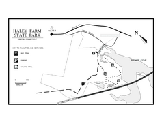
Haley Farm State Park map
Trail map of Haley Farm State Park in Connecticut.
30 miles away
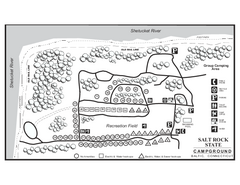
Salt Rock State Park campground map
Campground Map of Salt Rock State Campground in Connecticut.
32 miles away

