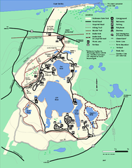
Nickerson State Park trail map
Trail map of Nickerson State Park in Massachusetts.
0 miles away
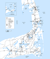
Cape Cod Rail Trail, Cape Cod, Massachusetts Map
Map of the Cape Cod Rail Trail bike path. Shows trails, restrooms, other roads and parking.
4 miles away
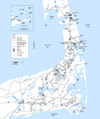
Cape Cod Rail Trail Map
Cape Cod Rail Trail map. The Cape Cod Rail Trail follows a former railroad right-of-way for 22...
14 miles away
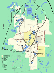
Myles Standish State Forest Winter trail map
Myles Standish State Forest winter use trail map.
34 miles away
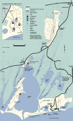
Waquoit Bay National Estuarine Research Preserve...
Trail map of Waquoit Bay National Estuarine Research Preserve in Massachusetts.
34 miles away
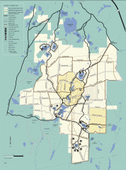
Myles Standish State Forest summer trail map
Map of all the trails and roads in Myles Standish State Park, MA. 15 miles of bicycle trails, 35...
34 miles away
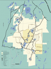
Myles Standish State Forest winter trail map
Winter activity map of all the trails and roads in Myles Standish State Park, MA. Cross country...
34 miles away
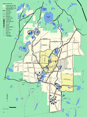
Myles Standish State Forest trail map
Summer trail map for Myles Standish State Forest.
35 miles away
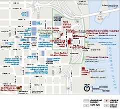
New Bedford Whaling National Historical Park...
Official NPS map of New Bedford Whaling National Historical Park in Massachusetts. Map shows all...
49 miles away
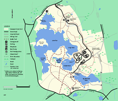
Massasoit State Park trail map
Trail map of Massasoit State Park in Massachusetts
51 miles away
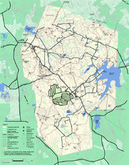
Wompatuck State Park trail map
Trail map of Wompatick State Park in Massachusetts.
53 miles away
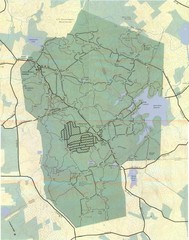
Wompatuck Park Trail Map
Map of Wompatuck Park including trails and roads and park features
53 miles away
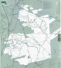
Freetown State Forest Map
Freetown State Forest Map showing mountain biking trails
53 miles away
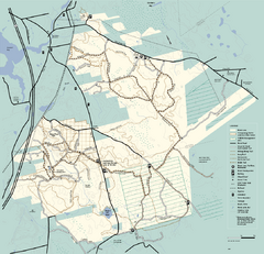
Freetown-Fall River State Forest trail map
Trail map of Freetown-Fall River State Forest in Massachusetts
53 miles away
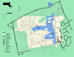
Ames Nowell State Park Map
Trail map of Ames Nowell State Park in Massachusetts
56 miles away
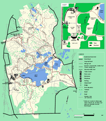
Borderland State Park trail map
Trail map of Borderland State Park in Massachusetts
62 miles away
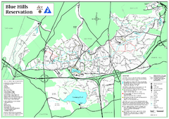
Blue Hills Reservation Trail Map
Trail map of the Blue Hills Reservation in Massachusetts
63 miles away
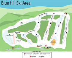
Blue Hills Ski Area Ski Trail Map
Trail map from Blue Hills Ski Area.
65 miles away
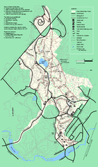
Stony Brook Reservation trail map
Trail map of the Stony Brook Reservation in Massachusetts.
67 miles away
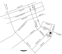
Rotch Field Location Map
Directions to Rotch Playing Field in Boston Common.
67 miles away
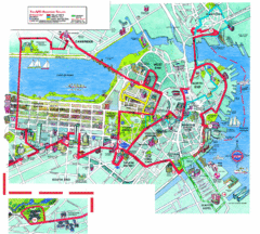
Boston Beantown Trolley Route Map
Route Map for the Boston Beantown trolley. Shows the trolley route, all stops, and a colorful...
68 miles away
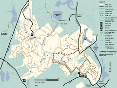
F. Gilbert Hills State Forest trail map
F. Gilbert Hills State Forest trail map in Massachusetts.
68 miles away
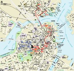
Boston National Historical Park Official Park Map
Official NPS map of Boston National Historical Park in Boston, Massachusetts. From park brochure...
68 miles away
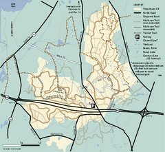
Wrentham State Forest trail map
Trail map of Wrentham State Forest in Massachusetts.
70 miles away
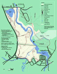
Cutler Park Reservation trail map
Trail map of Cutler Park Reservation in Massachusetts
71 miles away
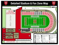
Harvard Stadium Map
Beautiful map of the horse-shoe shaped stadium of Harvard University.
71 miles away
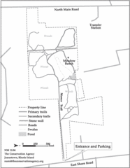
Parker Farm Trail Map
71 miles away
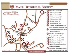
Dover Architectural Walking Map
Architectural walking tour of Hodgson Houses
73 miles away
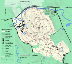
Bradley Palmer State Park winter map
Winter trail map of Bradley Palmer State Park.
76 miles away
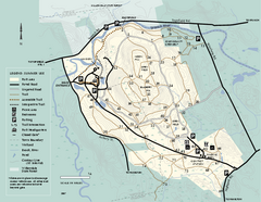
Bradley Palmer State Park summer map
Summer use map of Bradley Palmer State Park in Massachusetts
76 miles away
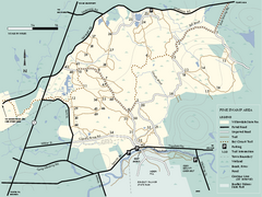
Willowdale State Forest map of Pine Swamp
Trail map of the Pine Swamp area of Willowdale State Park in Massachusetts.
78 miles away
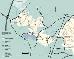
Willowdale State Forest map of Hood Pond
Trail map of the Hood Pond area of the Willowdale State Park in Massachusetts.
79 miles away
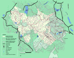
Boxford State Park trail map
Trail map of Boxford State Forest in Massachusetts
80 miles away
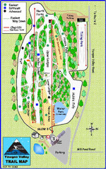
Yawgoo Valley Ski Area Ski Trail Map
Trail map from Yawgoo Valley Ski Area.
80 miles away
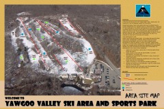
Yawgoo Valley Ski Trail map
Map of Yawgoo Valley Ski area in Exeter, Rhode Island. It is the only skiing resort in Rhode...
80 miles away
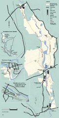
Blackstone Trail Map
Map of Blackstone River State Park in Massachusetts.
80 miles away
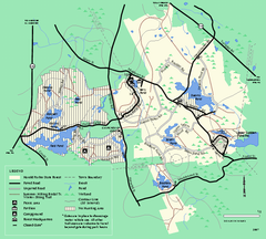
Harold Parker State Forest trail map
Trail map of Harold Parker State Forest in Massachusetts
81 miles away
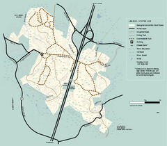
Georgetown-Rowley State Forest winter use map
Winter use map for the Georgetown-Rowley State Forest in Massachusetts.
81 miles away
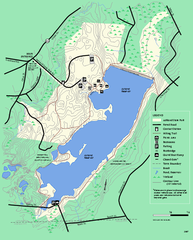
Ashland State Park Map
Map of Ashland State Park in Massachusetts.
82 miles away
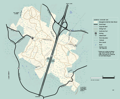
Georgetown-Rowley State Forest summer use map
Summer use map for Georgetown-Rowley State Forest.
82 miles away

