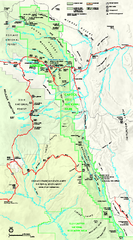
Capitol Reef National Park Official Map
Official NPS map of Capitol Reef National Park in Utah. Map shows all areas. The park and...
0 miles away
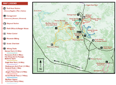
Kodachrome Basin State Park Map
Trail map of Kodachrome Basin State Park, Utah. Shows hiking trails and park facilities.
63 miles away

Bryce Canyon Official Park Map
Official NPS map of Bryce Canyon National Park in Utah. Map shows all areas. The park is open 24...
65 miles away
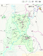
Canyonlands National Park Official Park Map
Official NPS map of Canyonlands National Park. Located in Utah. Map shows all areas but does not...
72 miles away
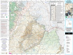
San Rafael, Utah Trail Map
Trails and main roads near Manti-LaSal National Forest and Castle Dale in Emery County, Utah
73 miles away
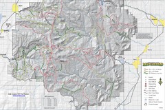
Utha Arapeen OHV Trail System- South Map
Utah Arapeen OHV Trail System map. Located near the towns of Fairview, Ephraim, and Manti, Utah.
73 miles away

Buckskin Gulch Trail Map
Guide to Buckskin Gulch, the longest slot canyon in the US
79 miles away
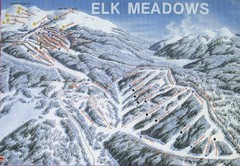
Elk Meadows Resort Ski Trail Map
Trail map from Elk Meadows Resort.
79 miles away
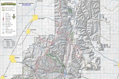
Utah Arapeen OHV Trail System- North Map
The Utah Arapeen OHV Trail System located in near the Towns of Fairview, Ephraim, and Mant, Utah.
85 miles away
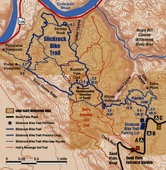
Slickrock Trail Map
Trail map of the famous Slickrock mountain biking trail in Moab, Utah. Trail distances shown. 10...
95 miles away
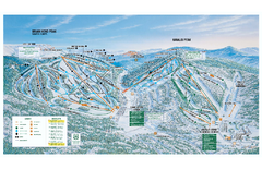
Brian Head Ski Trail Map
Official ski trail map of Brian Head ski area from the 2007-2008 season.
96 miles away
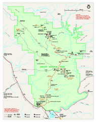
Arches National Park Official map
Official NPS park map of Arches National Park. Shows trails, roads, and all park facilities.
96 miles away
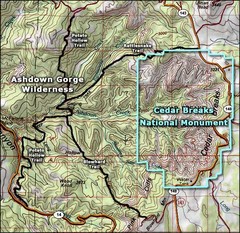
Topo Map of Ashdown Gorge Wilderness, including...
Cedar Breaks is similar to Bryce Canyon in many ways, but is more of an amphitheater than a canyon...
97 miles away
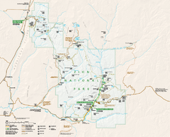
Zion National Park Official map
Official park map of Zion National Park. Shows trails, roads, and all park facilities.
116 miles away

Zion Canyon Map
A detailed map of the Zion Canyon in Zion National Park
117 miles away
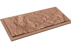
Gateway, Colorado carved by CarvedMaps.com Map
CarvedMaps.com carved this beautiful wood map of the Gateway area in SW Colorado. This company...
128 miles away
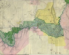
Grand Canyon National Park Map
Grand Canyon National Park including Kaibab National Forest and Coconino Plateau
141 miles away
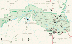
Grand Canyon National Park map
Official map of Grand Canyon National Park. Currently not available on the NPS website
147 miles away
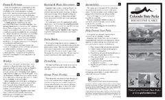
Highline Lake State Park Map
Map of park with detail of recreation areas
149 miles away
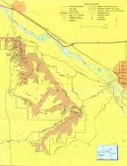
Colorado National Monument Map
Map of Colorado National Monument and surrounding areas.
149 miles away
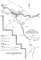
Capitol Reef Trail Map
Hiking trails near Fruita, Colorado
150 miles away
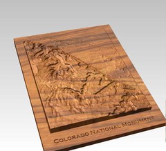
Colorado National Monument carved by CarvedMaps...
Colorado National Monument near Grand Junction, CO. was carved by CarvedMaps.com They can carve...
150 miles away
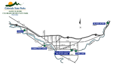
James M Robb Colorado River State Park Map
Overview map of park along lake
154 miles away
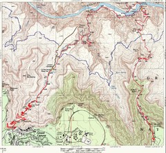
Grand Canyon Hiking Trail Map
Topo map of the Grand Canyon with a loop hike down the South Kaibab Trail and up Bright Angel Trail...
154 miles away
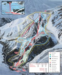
Sundance Ski Trail Map
Official ski trail map of Sundance ski area from the 2007-2008 season.
155 miles away
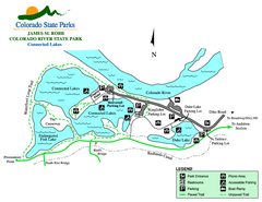
Connected Lakes State Park Map
Map of connected lakes section of the James M Robb Colorado River State Park
155 miles away
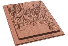
North Rim of the Grand Canyon carved by...
Grand Canyon carved by CarvedMaps.com. They specialize in hard wood carved maps of anywhere within...
155 miles away
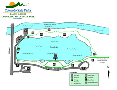
Corn Lake State Park Map
Map of corn lake section of the James M Robb Colorado River State Park
156 miles away
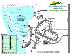
Fruita Area State Park Map
Map of fruita section of the James M Robb Colorado River State Park
157 miles away
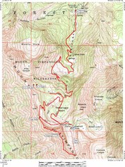
Mount Timpanogos Trail Map
Trail map of Mount Timpanogos 11,749 feet, in the Mount Timpanogos Wilderness Area, Utah. One of...
158 miles away
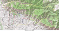
Fruita 18 Road Trail Map
Mountain biking trail map of the 18 Road area in Fruita, CO including Chutes & Ladders, Zipity...
158 miles away
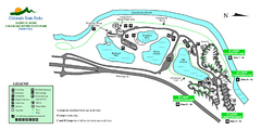
Island Acres State Park Map
Map of island acres section of the James M Robb Colorado River State Park
159 miles away
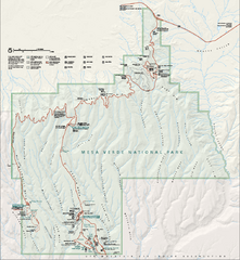
Mesa Verde National Park Official Park Map
Official NPS map of Mesa Verde National Park in Colorado. MESA VERDE NATIONAL PARK IS OPEN DAILY...
163 miles away
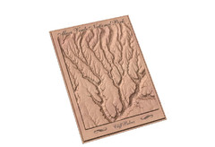
Mesa Verde carved by carvedmaps.com Map
Carved map of Mesa Verde in Colorado by carvedmaps.com
163 miles away
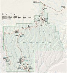
Mesa Verde National Park Official Park Map
Official NPS map of Mesa Verde National Park in Colorado. Mesa Verde National Park is open year...
163 miles away
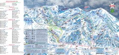
Alta Ski Trail map
Official ski trail map of Alta ski area from the 2006-2007 season.
168 miles away
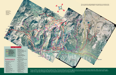
Snowbird/Alta area Summer Mountain Biking/Hiking...
Map showing all hiking and mountain biking trails in the Alta/Snowbird area.
168 miles away
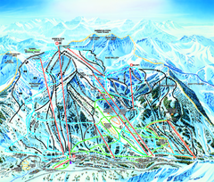
Snowbird Ski Trail map
Official ski trail map of Snowbird ski area from the 2006-2007 season.
168 miles away
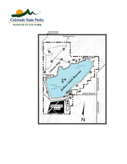
Mancos State Park Map
Map of park with detail of recreation zones
168 miles away

