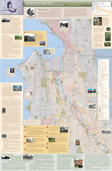
Duwamish River Community Map
This is a printed map, 32" X 40", created for the Duwamish River Cleanup Coalition in...
0 miles away
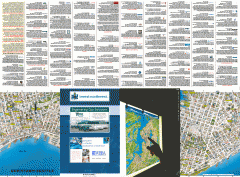
Downtown Seattle biotech map
Downtown Seattle map of biotechnology companies.
4 miles away
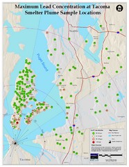
Tacoma Lead Concentration Map
A map of maximum lead concentrations near Tacoma.
13 miles away
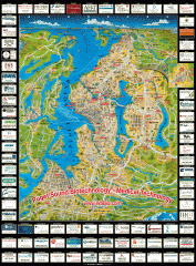
Puget Sound biotech map
Map of Puget Sound area biotechnology companies.
18 miles away
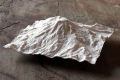
Mt. Rainier 3D Print Map
This is a 3D-printed map of the cone of Mt. Rainier in Washington, USA, including Liberty Cap, many...
56 miles away
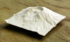
Mt. St. Helens 3D Print Map
This is a 3D-printed map of the cone, crater, and summit of Mt. St. Helens in Washington, USA. It...
94 miles away
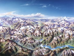
North Cascades National Park Oblique Map
Oblique map looking across Ross Damn, and Diablo Lake towards Seattle
98 miles away
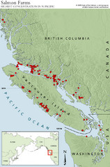
BC Salmon Farms Map
Shows fishfarms in BC around Vancouver Island, highest concentration of fish farms in North Pacific
206 miles away
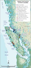
BC Fish Farm Map
Shows salmon farm tenures in southern British Columbia, Canada.
256 miles away
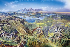
Yellowstone oblique Map
Oblique Panorama map of Yellowstone National Park
600 miles away
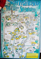
San Francisco Water System Cartoon Map
Cartoon map of the San Francisco Water System. From photo of poster from San Francisco Public...
678 miles away
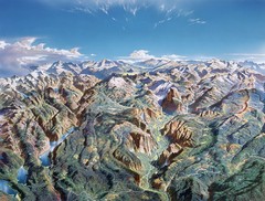
Yosemite oblique Map
Oblique Panorama map of Yosemite National Park
692 miles away
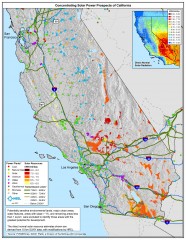
Concentrating Solar Power Prospects California Map
Shows power plants, concentrating solar resources, and transmission lines for all of California...
728 miles away
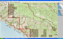
Timber Top, Big Sur Map
Route we climbed to Timber Top in Big Sur. Very steep trail.
786 miles away
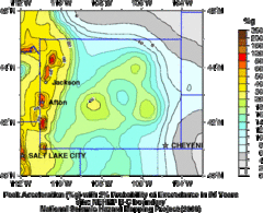
Seismic Hazard Map of Wyoming
Seismic Hazard map of probable earthquake activity for Wyoming.
793 miles away
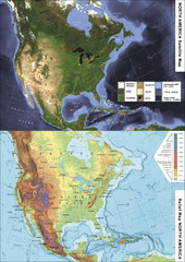
North America Satellite Relief Pair Map
A satellite image of North America twinned with a relief (or physical) representation of the same...
881 miles away
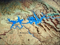
Lake Powell Oblique Map
918 miles away
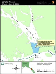
Glacier Bay National Park Whale Waters Map
Map of lower Glacier Bay whale waters include the waters extending from the mouth of Glacier Bay to...
944 miles away
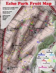
Elysian Park Fruit Map
Shows fruit growing in Elysian Park, Los Angeles (map erroneously calls it Echo Park)
955 miles away
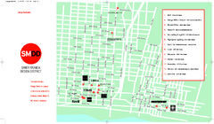
Design District, Santa Monica, California Map
Map of modern design showrooms in downtown Santa Monica, California.
958 miles away
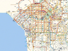
West Los Angeles Starbucks & Chase Map
958 miles away
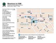
ESRI Campus Map
971 miles away
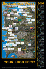
California Bio-science Company Map
Shows logos of biotech companies in California from San Francisco to San Diego.
990 miles away
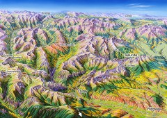
Ouray, Colorado area map
Regional artistic aerial view of the Ouray area and surrounding San Juan Mountains. Shows...
1007 miles away
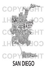
Urban Neighborhood Map: San Diego Map
This Urban Neighborhood Poster of San Diego is a modern twist on traditional maps. The typography...
1062 miles away
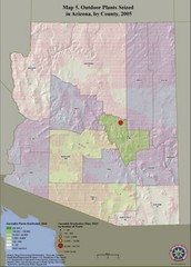
Cannabis Seized in Arizona Map 2005
Shows outdoor plants and sites seized in Arizona, by county, in 2005.
1072 miles away
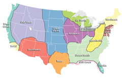
Regions of the United States Map
Appalachia- Hills, hills and more hills. Appalachian landforms contribute to landscapes of...
1379 miles away
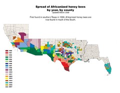
US African Honey Bee Map
Map of the US spread of Africanized honey bees by year, by county, from 1990 to 2007.
1411 miles away
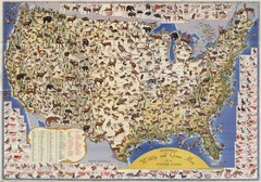
US Wildlife Map
Pictorial map of wildlife and game in the US.
1531 miles away
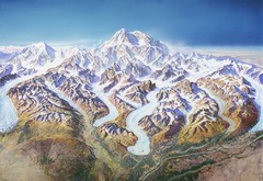
Mt. McKinley (Denali) Map
Oblique Panorama ma of Mt. Mckinley (Denali)
1540 miles away

Urban Neighborhood Map: Madison Map
This Urban Neighborhood Poster of Madison is a modern twist on traditional maps. The typography...
1618 miles away
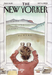
Palin's View From Alaska Map
Presidential Vice President Candidate Sarah Palin's view of Russia from Alaska. From scan of...
1645 miles away
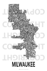
Urban Neighborhood Map: Milwaukee Map
This Urban Neighborhood Poster of Milwaukee is a modern twist on traditional maps - perfect to...
1689 miles away
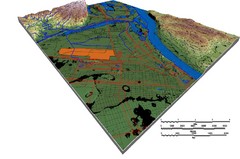
DEM SAUGET INDUSTRIAL PARK Map
OVERLAY OF TRIMBLE GPS VECTOR DATA OF SAUGET INDUSTRIAL PARK ONTO PAINTED DEM USING RGB COLOR MODEL...
1724 miles away
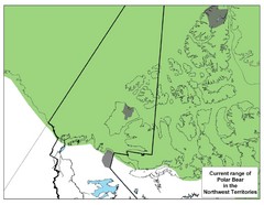
Polar Bear Range in Northwest Territories Map
1750 miles away

Urban Neighborhood Map: Austin Map
This Urban Neighborhood Poster of Austin is a modern twist on traditional maps - perfect to frame...
1769 miles away
Hurricane Tracking Chart, East Pacific Map
A potentially useful and fun map.
1829 miles away
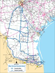
Pharr Texas Hurricane Evacuation Route Map
Hurricane evacuation map in southern Texas, Pharr and San Antonio.
1877 miles away
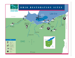
Lake Erie Restoration Sites Map
Shows restoration sites for Lake Erie in Ohio
1967 miles away
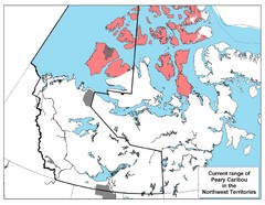
Peary Caribou Range Map
1993 miles away

