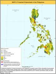
Protected Watersheds in the Philippines Map
Shows mining concessions, groundwater vulnerability, and watersheds in the Philippines. From site...
0 miles away
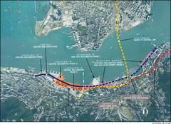
Hong Kong Island Land Reclamation Map
849 miles away

Urban Region Map: Japan Map
This Urban of Japan is a modern twist on traditional maps - perfect to frame and display on any...
1932 miles away
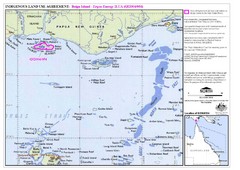
Torres Strait Land Use Map
Map of land use agreement for Boigu Island. Shows islands in the Torres Strait between Papua New...
2092 miles away
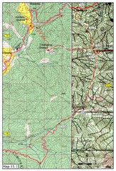
Dochula to Lungchuzekha Gonpa trail map 1
Dochula to Lungchuzekha Gonpa trail . Near Thmphu,Bhutan
2320 miles away
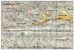
Dochula to Lungchuzekha Gonpa trail map 2
2321 miles away

Thimphu Punakha trail Map
2327 miles away
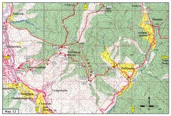
Trail from Yangchenphug HS to Thadranang and...
Yangchenphug high school to Thadranang, Oselpang near Hongtso
2327 miles away
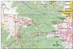
Dechenphodrang and Pajoding, Thimphu Map
Dechenphodrang to Pajoding, Tujedrag and Pumola monastaries
2329 miles away
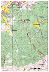
Simtokha-Talakha trail near Thimphu Map
Simtokha to Talakha trail
2329 miles away
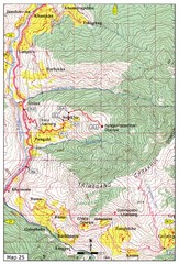
Trail from Sisina to Kunzangdechen monastery Map
Sisina to Kunzangdechen trail
2330 miles away
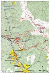
Trails near Tango Monastery, Thimphu Map
Trails around Tango Monastery, Thimphu, Bhutain
2330 miles away
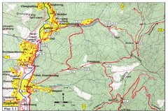
Dechencholing to Sinchula, Thimphu Map
Dechencholing,Kabisa
2330 miles away

Trail to Paga Monastery Map
Trail to Paga Monastery near Chudzomtsa
2330 miles away
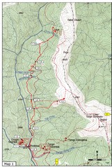
Trails near Cgagri monastery, Thimphu Map
trails near Chagri monastery Thimphu, Bhutan
2331 miles away
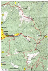
Droley Gonpa trail, Thimphu Map
2331 miles away
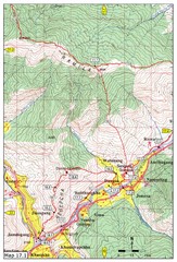
Khasadrapchu to Thimphu trail pt 1 Map
2331 miles away
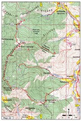
Trail to Bemri Lhakhang Map
Trail to Bemri Lhakhang south of Thimphu
2331 miles away
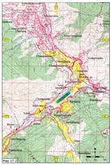
Khasadrapchu to Thimphu trail pt 2 Map
Khasadrapchu to Thimphu trail part 2. (Rama to Thimphu)
2332 miles away
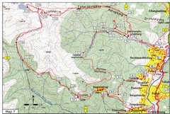
Dechenphu Valley, Thimphu Map
2332 miles away
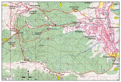
Trail fom Youth Center Thimphu to Pumola...
Way to Pumola monastery
2333 miles away
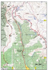
Trail to Bimelang Lake, Thimphu Map
Bimelang Lake Trail
2336 miles away

Osakana Fish Map
Map of Osakana, Japan shows all native fish. In Japanese.
2490 miles away
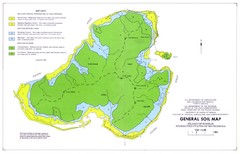
Kosrae Island Soil Map
General soil map of Kosrae Island
2846 miles away
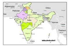
Political Map of India, Fully Editable in...
Political Map of India with boundaries of few Western and Northern states. Major cities have been...
2894 miles away
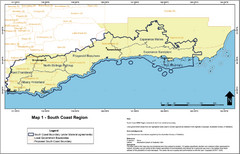
Australia South Coast Region Map
The South Coast region of Australia and proposed new boundaries by Natural Resources Management...
3234 miles away

Lady Musgrave Island Map
Photo of map showing isliand and Lady Musgrave Reef
3253 miles away
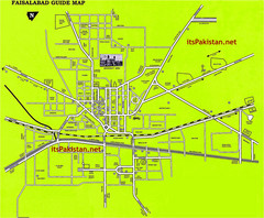
Faisalabad Road Map
This is a map of Faisalabad Pakistan showing important places of Faisalabad and main roads
3362 miles away
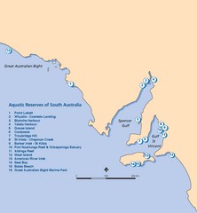
Aquatic Reserves of South Australia Map
Map shows the location of the state of South Australia's aquatic reserves. "Aquatic...
3398 miles away
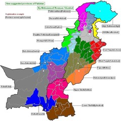
Pakistan new provinces map
new suggested provinces of pakistan Only on the basis of administration not on caste or language.
3417 miles away
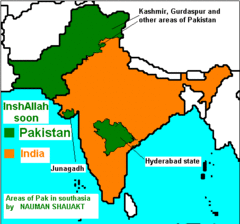
real map of south asia
Admired and righteous areas of Pakistan in India. Soon will be in Pakistan
3470 miles away
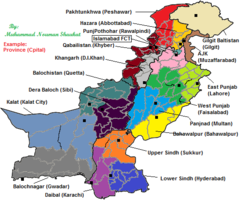
Pakistan New Provinces Map
It is only a suggested map of new provinces of Pakistan according to me. If provinces are made so...
3525 miles away
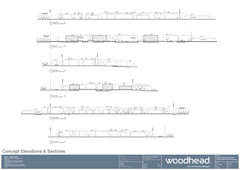
Woodhead Community Lifestyle Map
Elevation sections of the Blue Dolphin Joint Venture in North Sydney
3739 miles away
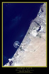
Dubai City Map
Satellite photo of Dubai
4411 miles away
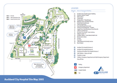
Auckland City Hospital Site Map 2005
4841 miles away
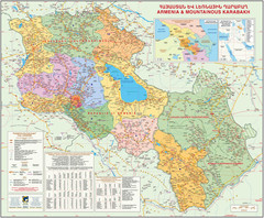
Map of the Republic of Armenia and the Nagorno...
Map of modern Armenian states - the Republic of Armenia and the Nagorno-Karabakh Republic (Artsakh)
4981 miles away
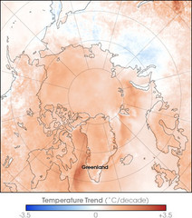
Arctic Temperature Change: 1987 -- 2007 Map
5128 miles away
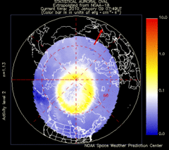
Aurora Borealis in Real Time Map
Aurora Borealis as seen by satellite superimposed on the northern hemisphere of the globe.
5128 miles away

