Caribbean Threatened Reef Map
Shows reefs threatened by overfishing in the Caribbean.
0 miles away
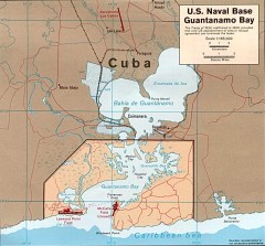
US Naval Base at Guantanamo Bay Map
Map of the area in Cuba that the US Navy leases, includes an airstrip and the Guantanamo Bay...
176 miles away
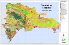
Dominican Republic Vegetation Map
Shows vegetation of Dominican Republic, 1:500,000 scale
177 miles away
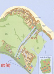
Harbor Island Real Estate Map
1062 miles away
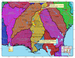
Drainage Basins of the Southeast United States Map
Lakes, rivers and dams in the Apalachicola, Chattahoochee and Flint River System.
1156 miles away
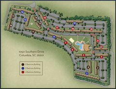
woodlands of Columbia map
1172 miles away
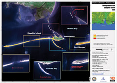
Dauphin Island Change Detection Map
1251 miles away
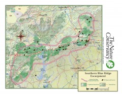
Map of Southern Blue Ridge Escarpment
Map of the Nature Conservancy's Southern Blue Ridge Escarpment project area showing protected...
1295 miles away
Hurricane Tracking Chart, Atlantic Map
This is a fun and potentially (if you live in the right place) useful map.
1328 miles away
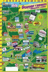
Seaford Delaware Cartoon Map
1393 miles away
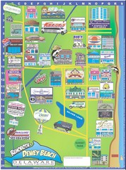
Rehoboth Beach Delaware Cartoon Map
1395 miles away
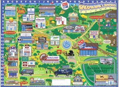
Georgetown Delaware Cartoon Map
1395 miles away
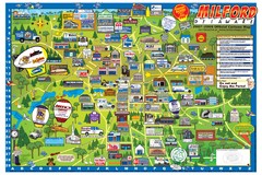
Milford Delaware Cartoon Map
1410 miles away
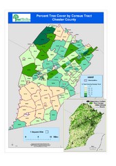
Chester County Tree Cover Map
Poster map of tree cover in Chester County, Pennsylvania
1486 miles away
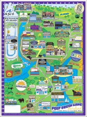
Deep Creek Lake, Maryland Map
1498 miles away
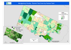
Montgomery County Tree Cover Map
Poster map of tree cover of Montgomery County, Pennsylvania
1499 miles away
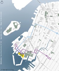
IKEA Brooklyn Map
Location map and map of bus routes and access streets to IKEA in Brooklyn, NY.
1525 miles away
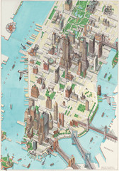
Manhattan New York Map
Aerial map of New York illustrated by UK illustrator Katherine Baxter.
1530 miles away
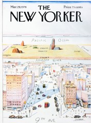
A View of the World from 9th Avenue (Map)
Famous Saul Steinberg New Yorker Magazine cover from 1976 depicts a New Yorker's egocentric...
1531 miles away
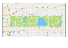
Central Park, New York Map
Central Park, New York map. A very detailed map with all roads, metro station and importand...
1533 miles away
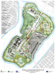
Randall's Island Park Map
Master plan for Randall's Island Park
1533 miles away
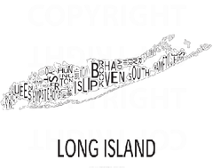
Urban Neighborhood Map: Long Island Map
This Urban Neighborhood Poster of Long Island is a modern twist on traditional maps. The typography...
1540 miles away
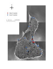
Native and Exotic Phragmites on Block Island Map
1561 miles away
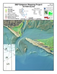
Esther Island Map
DEP Eelgrass map of Esther Island, Nantucket
1573 miles away
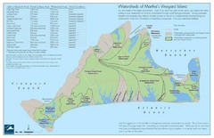
Martha's Vineyard Watershed Map
1578 miles away
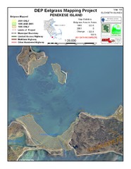
Penekese Island Eelgrass Map
1581 miles away
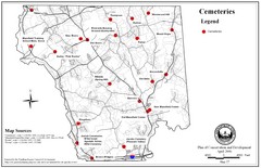
Mansfield Cemetery Map
1602 miles away
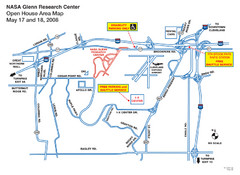
NASA Glenn Research Center Location Map
1663 miles away
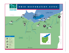
Lake Erie Restoration Sites Map
Shows restoration sites for Lake Erie in Ohio
1692 miles away
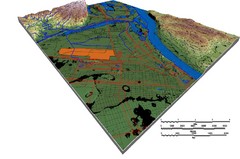
DEM SAUGET INDUSTRIAL PARK Map
OVERLAY OF TRIMBLE GPS VECTOR DATA OF SAUGET INDUSTRIAL PARK ONTO PAINTED DEM USING RGB COLOR MODEL...
1727 miles away
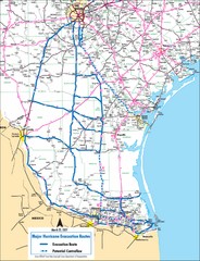
Pharr Texas Hurricane Evacuation Route Map
Hurricane evacuation map in southern Texas, Pharr and San Antonio.
1738 miles away
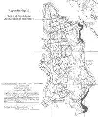
Frye Island Archaeological Map
1748 miles away

Urban Neighborhood Map: Austin Map
This Urban Neighborhood Poster of Austin is a modern twist on traditional maps - perfect to frame...
1755 miles away
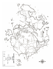
Swan's Island, ME Map
1783 miles away
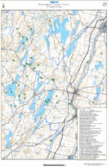
Kennebec Land Trust Map
Map of properties of the Kennebec Land Trust in Maine.
1787 miles away
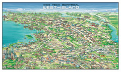
The West-Island Map
Panoramic illustration of High tech business in Montreal's West-Island
1856 miles away
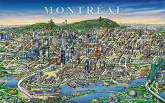
montreal Downtown Map
1858 miles away
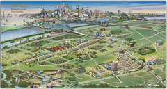
Pictorial map of Brossard
Brossard pictorial map
1859 miles away

