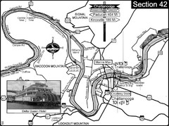
Chattanooga, TN Tennessee River Map
For boating navigational information and river road travel along the Tennessee River.
0 miles away
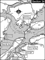
Guntersville, AL Tennessee River/Lake...
For boating navigational information and river road travel along the Tennessee River. This section...
73 miles away
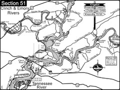
Kingston, TN Tennessee River/Clinch River/Emory...
Shows a bend on the Tennessee River at the confluence of the Clinch & Emory Rivers. For boat...
74 miles away
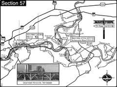
Knoxville, TN Tennessee River/Holston River...
This is the source of the Tennessee River at the confluence of the Holston River and French Broad...
103 miles away
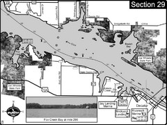
Decatur, AL Tennessee River/Wheeler Lake Map
For boating navigational information and river road travel along the Tennessee River. This section...
104 miles away
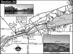
Florence, AL Tennessee River Map
For boating navigational information and river road travel along the Tennessee River. This map...
136 miles away
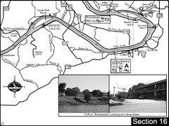
Clifton, TN Tennessee River Map
For boating navigational information and river road travel along the Tennessee River.
156 miles away
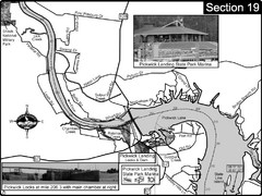
Pickwick Lake Tennessee River Map
For boating navigational information and river road travel along the Tennessee River. This map...
164 miles away
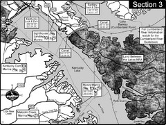
Kentucky Lake Tennesssee River-Land Between the...
This is the upper end of Kentucky Lake which is the Tennessee River. The map is designed for...
207 miles away
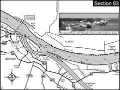
Ohio River & Tennessee River at Paducah, KY...
This is a page from the Ohio River Guidebook. The map shows important information for boaters and...
227 miles away
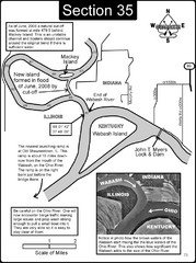
Mount Vernon, IN Wabash River & Ohio River Map
This is a page from the Wabash River Guidebook. The map shows important information for boaters and...
242 miles away
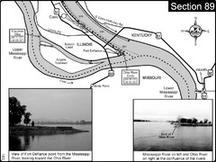
Ohio River at Cairo, IL and the Mississippi River...
The Ohio River ends at it's confluence with the Mississippi River at mile 981. This is a page...
253 miles away
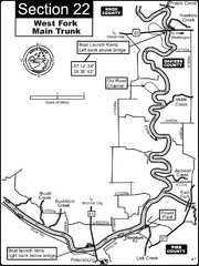
Petersburg, IN White River West Fork Map
This is a page from the White River Guidebook. The map shows important information for boaters and...
265 miles away
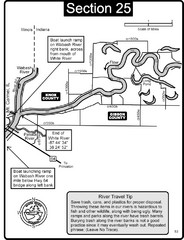
Mount Carmel, IL White River & Wabash River...
This is a page from the White River Guidebook. The map shows important information for boaters and...
267 miles away
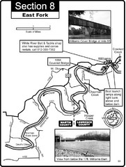
Williams, IN White River East Fork Map
This is a page from the White River Guidebook. The map shows important information for boaters and...
268 miles away
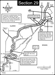
Vincennes, IN/ St. Francisville, IL Wabash River...
This is a page from the Wabash River Guidebook. The map shows important information for boaters and...
276 miles away
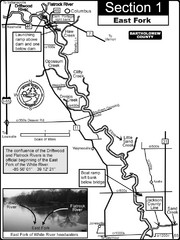
Columbus, IN White River East Fork Map
This is a page from the White River Guidebook. The map shows important information for boaters and...
286 miles away
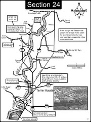
Terre Haute, IN Wabash River Map
This is a page from the Wabash River Guidebook. The map shows important information for boaters and...
326 miles away
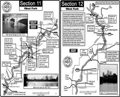
Indianapolis, IN White River West Fork Map
This is a page from the White River Guidebook. The map shows important information for boaters and...
328 miles away
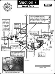
Anderson, IN & Mounds State Park Wabash River...
This is a page from the White River Guidebook. The map shows important information for boaters and...
349 miles away
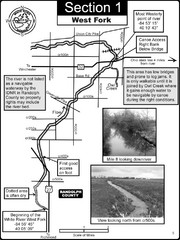
Winchester, IN Beginning of the White River-West...
This is a page from the White River Guidebook. The map shows important information for boaters and...
354 miles away
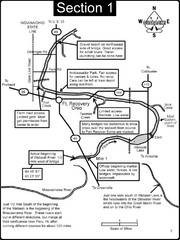
Fort Recovery, OH & beginning of the Wabash...
This is a page from the Wabash River Guidebook. The map shows important information for boaters and...
371 miles away
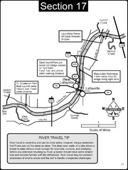
Lafayette, IN/West Lafayette, IN Wabash River Map
This is a page from the Wabash River Guidebook. The map shows important information for boaters and...
381 miles away
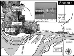
Grafton, IL Illinois River/Mississippi River/Pere...
This is the end of the Illinois River at the confluence with the Mississippi River. For boating...
393 miles away
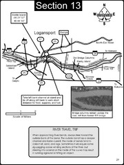
Logansport, IN Wabash River & Eel River Map
This is a page from the Wabash River Guidebook. The map shows important information for boaters and...
397 miles away
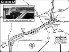
Beardstown, IL Illinois River Map
For boating navigation and river road travel.
443 miles away
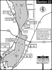
Peoria, IL Illinois River/Peoria Lake Map
For boating navigation and river road travel on the Illinois River.
454 miles away
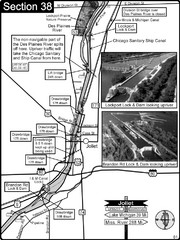
Joliet, IL Illinios river/Des Plaines River/I&...
For boating navigation and river road travel on the Illinois Waterway.
471 miles away
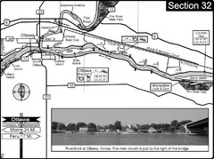
Ottawa, IL Illinois River/Fox River Map
For boating navigation and river road travel on the Illinois River. Shows confluence of the Fox...
474 miles away
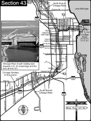
Chicago, IL Sanitary & Ship Canal/Chicago...
This is the beginning of the Illinois Waterway that connects Lake Michigan to the Mississippi River...
488 miles away
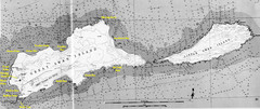
Islas del Cisne, Honduras Map
1296 miles away

