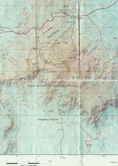
Bale Mountains National Park Map
0 miles away
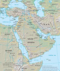
Middle East Physical Map
Physical map of the Middle East with shaded relief.
1509 miles away
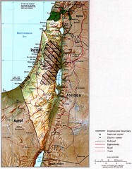
Israel Map
Map of Isreal and Surrounding areas from "Atlas of the Middle East", published in January...
1710 miles away
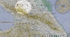
Partial Caucasus Region Map
Russia, Georgia and Azerbaijan detail map highlighting the Elbrus mountain region. Map shows roads...
2399 miles away
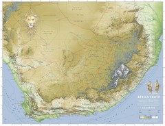
Africa South Full Map
A new relief map of Africa South showing some roads and towns and with boundaries natural replacing...
2447 miles away
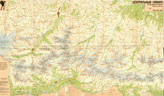
Central Caucasus Map
Overview map of the central Caucasus mountains from Mt. Elbrus east in Russia and Georgia. In...
2530 miles away
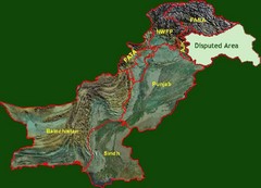
Pakistan Relief Map
Map of Pakistan showing the borders of the areas within the country and the terrain of each.
2578 miles away
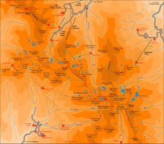
Pirin Mountains Chalet Map
Map of Pirin Mountains in Pirin National Park, near Bansko, Bulgaria. Shows peaks and mountain...
2615 miles away
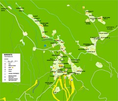
Borovets Map
Map of Borovets ski resort in Bulgaria.
2660 miles away
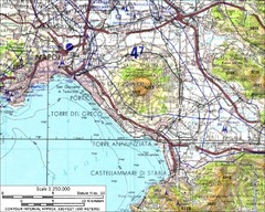
Mount Vesuvius Contour Map
Contour map of Mount Vesuvius and surrounding area. Rodad and cities also identified.
2821 miles away
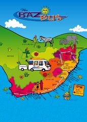
Baz Bus Map
Covering the entire East Coast of South Africa including: The Garden Route, Swaziland, Drakensberg...
2830 miles away

Fan Mountains Topo Map
Topographical map of the Fan Mountains (Fans) in Tajikistan. Home of over 10 5000+ meter peaks...
2872 miles away
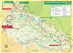
Transcarpathia Hiking Trail Map
Map of the Transcarpathia Hiking Trail (THT) in Ukraine. Trail runs through the territory of...
3043 miles away

Bukovel Ski Resort Map
Map of Bukovel's slopes, lifts and resort
3044 miles away
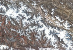
Karakoram Range Map
Shows major peaks and glaciers in the Karakoram mountain range in Pakistan and China. 2nd highest...
3085 miles away
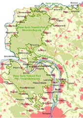
Duna-Ipoly Nemzeti Park Map
Overview map of Duna-Ipoly Nemzeti Park (Danube-Ipoly National Park) north of Budapest, Hungary
3094 miles away
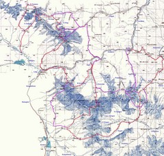
Kongur Expedition Map
Route map of 2004 expedition to summit the highest peak of China Pamir and Kun-Lun, Kongur 7719m
3136 miles away
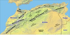
North Africa Mountain Ranges Map
Map of the mountain ranges of Northern Africa
3154 miles away
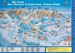
San Martino di Cartozza Ski Trail Map
Ski trail map of San Martino di Cartozza, Italy
3194 miles away
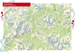
Cortina d'Ampezzo Hiking Map
Summer hiking map of the Cortina d'Ampezzo, Italy area in the heart of the Dolomite Mountains...
3201 miles away
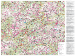
Val di Fassa Hiking Map
Hiking trail map of the Val di Fassa, Italy region. Highly detailed.
3206 miles away
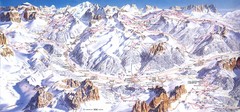
Campitello di Fassa Ski Map
3208 miles away

Arabba Corvara Pedraces Summer Map
Summer map of Alta Badia region in Italian Dolomites
3208 miles away
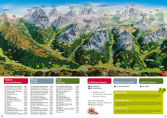
Alta Pusteria Summer Map
Panoramic summer hiking map of the Alta Pusteria, Italy, in the South Tyrol. Shows towns...
3209 miles away
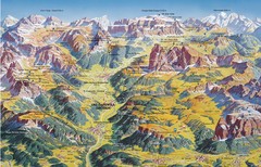
Val Gardena Summer Trail Map
Summer panoramic trail map of the Val Gardena, Italy area in the heart of the Dolomite Mountains...
3211 miles away
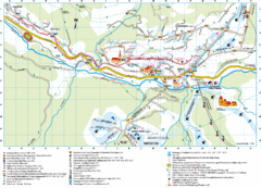
Santa Cristina Tourist Map
Tourist map of town of Santa Cristina Val Gardena, Italy. Santa Cristina lies on the sunny side of...
3213 miles away
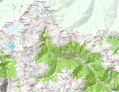
Val di Rabbi Topo Map
Detailed topographic map of Val di Rabbi, Italy on the edge of Stelvio National Park
3230 miles away
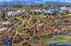
Eastern Alps Italy and Austria Overview Map
Panoramic map of the mountains and towns of northern Italy, the Tyrol, and southern Austria
3233 miles away
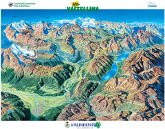
Valdidentro Alta Valtellina Summer Map
Panorama tourist map of the region of Valdidentro Alta Valtellina from Bormio, Italy to Livigno...
3254 miles away
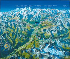
Engadin St. Moritz Region Summer Map
Summer panoramic tourist map of Engadin region of Switzerland. Includes St. Moritz, Piz Bernina...
3267 miles away
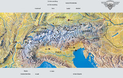
Alps Top Resort Town Map
Shows 12 top 4 season mountain resort towns in the Alps in France, Switzerland, Austria, and Italy.
3296 miles away
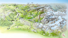
Ecrins National Park Map
Panoramic map of Parc National des Ecrins, France
3300 miles away
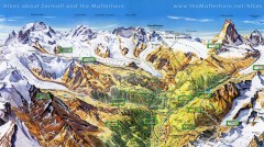
Zermatt Switzerland summer map
Summer hiking map of Zermatt
3312 miles away
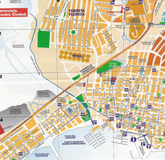
Torrevieja Spain Tourist Map
Detailed street map of the Costa Blanca town of Torrevieja, Spain. Map shows parking, information...
3315 miles away
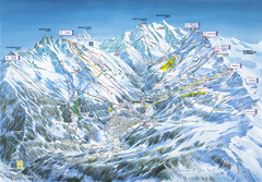
Méribel-Mottaret Ski Run Map
Ski Resort map for Méribel and Mottaret ski resorts including ski runs, lifts and mountain...
3323 miles away
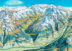
Lötschental Lauchernalp Summer Trail Map
Summer trail map of Lötschental Valley area. Shows hiking trails, towns, and mountains. The...
3331 miles away
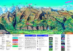
Schilthorn Summer Trail Map
Summer hiking map of Mürren-Schilthorn area. Shows lifts and trails.
3335 miles away
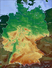
Germany Topo Map
Topographical map of Germany. Shaded by elevation in meters. Also shows major German cities.
3474 miles away
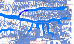
Central Tien Shan Map
Sketch of central Tien Shan between China, Kazakhstan and Kyrgyzstan. Means the "Heaven...
3484 miles away

