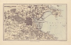
Dublin Environs Map
This is a map of Dublin surrounding areas - historical map.
0 miles away

1608 Dublin Historical Map
0 miles away
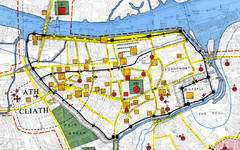
Dublin Medieval Map
Map of Dublin's medieval city superimposed on a modern OS map. (From H.B. Clarke, 'Dublin...
less than 1 mile away
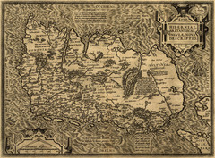
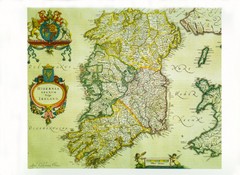
Ortelius’ Map of Ireland (1598)
Abraham Ortelius' map of Ireland in 1598.
48 miles away
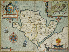
Anglesey Map
81 miles away
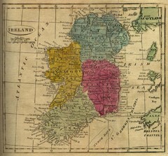
1808 Ireland Historical Map
82 miles away
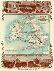
Historic United Kingdom Railroad Map
Guide to the connections of the Great Southern and Western Railways in the British Isles
115 miles away
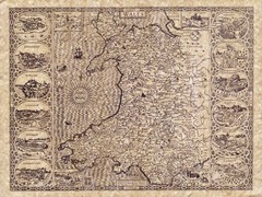
Old Maps - Wales Map
Includes illustrations of individual Welsh county towns.
117 miles away
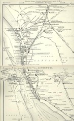
Liverpool Railway Map
Guide to historic rail lines around Liverpool
136 miles away
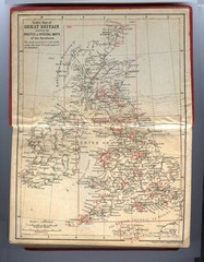
1910 Great Britain Map
145 miles away
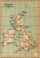
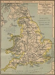
878 England Map
Guide to England after the Peace of Wedmore
150 miles away
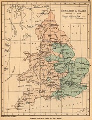
1644 England and Wales Political Map
Map showing districts held by teh King versus the Parliament during the Puritan Revolution
160 miles away
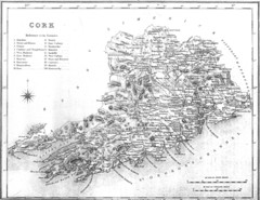
Cork County Map
Map of County Cork from 1800
162 miles away
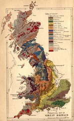
Great Britain Geological Map
Geological Map of Great Britain
181 miles away
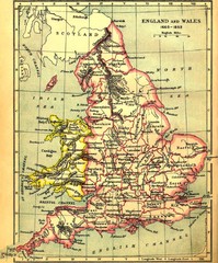
1660-1892 England and Wales Map
Guide to England and Wales from 1660-1892, showing topographic information
188 miles away
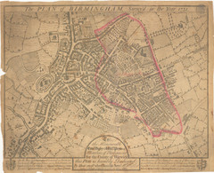
1731 Birmingham Map
Guide to historic Birmingham, UK
192 miles away
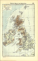
1911 British Isles Physical Map
Guide to physical features of the United Kingdom, then known as the British Isles
194 miles away
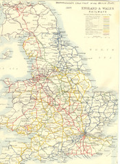
1887 - Prinicipal Railways in England and Wales...
Railways in England and Wales in 1887
200 miles away
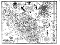
1610 Yorkshire County Historical Map
A 1610 map of Yorkshire Country in the United Kingdom
203 miles away
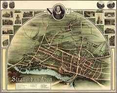
1902 Stratford-upon-Avon Map
Map of William Shakespeare's birthplace
207 miles away
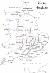
Tudor England Counties Map
Guide to the counties of England under Tudor reign
215 miles away
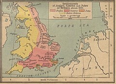
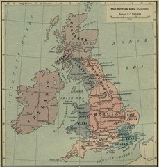
600 British Settlement Map
Map of settlements of Angels, Saxons, Jutes and Native Britons in 600
215 miles away
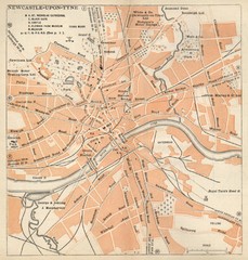
Newcastle upon Tyne Map
1920 Michelin Map to Newcastle upon Tyne, UK
220 miles away
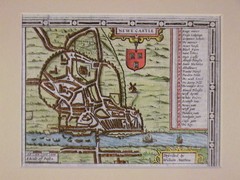
1611 Newcastle-Upon-Tyne Historic Map
Guide to historic Newcastle upon Tyne
220 miles away
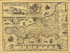
Old Maps: Cornwall Map
Map of Cornwall from The Theatre and Empire of Great Britain
220 miles away
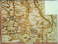
Plymouth Map 1500s
Map of Plymouth, England area in late 1500s
224 miles away
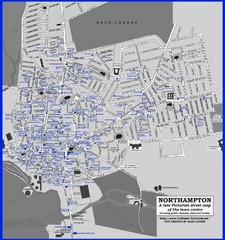
Northampton Town Map
Map of Northampton from the late Victorian period with public houses, inns, hotels, and pubs all...
237 miles away
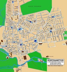
Northampton Town Map
Street map of Northampton from the late Victorian period
237 miles away
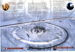
Stonehenge Brochure Map
Scan of official brochure of Stonehenge.
240 miles away
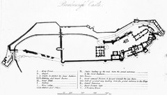
Bamburgh Castle Map
241 miles away
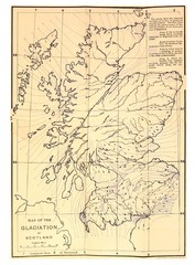
Scotland Glaciation Map
Guide to glacial movement that formed Scotland
253 miles away
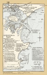
1857 Poole Harbor Map
Guide to the peninsula and improvements in the Harbor
259 miles away
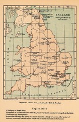
England War of the Roses Map
Guide to battle sites, encampments and treaties of the War of the Roses in England
265 miles away
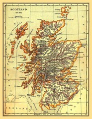
1641-1892 Scotland Map
Guide to Scotland and its counties, from 1641-1892
270 miles away
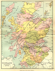
Scotland Counties Map
Map of Scotland and its counties
277 miles away
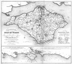
Isle of Wight Map
279 miles away
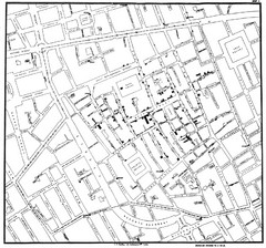
Cholera Outbreak of London Map
Map used to analyze the cholera outbreak in London, specifically South Hampton in 1853
282 miles away

