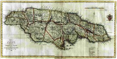
Jamaica County Map
Island map of Jamaica showing counties and parishes "Shows plantations, settlements, churches...
0 miles away
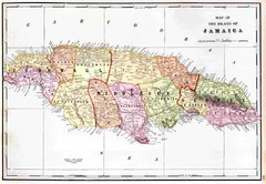
Jamaica 1910 Map
less than 1 mile away
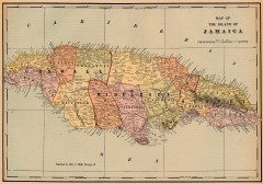
Antique map of Jamaica from 1901
"Map of the Island of Jamaica" from Cram's Modern Atlas the New Unrivaled. Published...
5 miles away

Jamaica Outline Map 1882
5 miles away
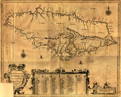
Jamaica Map
Map of historical Jamaica, including early settlements
5 miles away

Ocho Rios rod Map
22 miles away
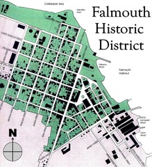
Falmouth Historic District Map
31 miles away
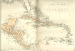
Central America and the West Indies Map
Historical Map of Central America and the West Indies Map
237 miles away
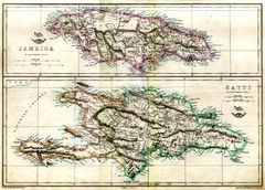
Haiti and Jamaica Map
Detailed Map of Hispaniola and Jamaica. Colored in outline. Shows Jamaica Railway
284 miles away
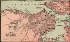
Antique map of Havana, Cuba from 1901
Map of Havana, Cuba from Cram's Modern Atlas, 1901.
474 miles away
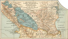
Early map of Nicaragua Canal
This was the original route for a canal across Central America
632 miles away
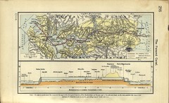
Panama Canal Historical Atlas, 1911 Map
652 miles away
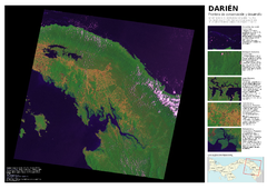
Darién: Frontera de conservación y...
Mapa de Darién: cobertura y uso de suelo 2004.
672 miles away

Panoramic view of Nicaragua Canal route Map
679 miles away
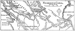
Route of Nicaragua Canal 1906 Map
691 miles away
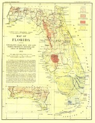
Topography of Florida Map
Topographic map of Florida that was developed in 1913. It shows the elevation changes that are...
709 miles away
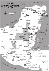
Mayan Archaeological sites in Belize Map
713 miles away
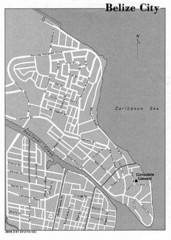
Belize City - U.S. Department of State, 1981 Map
717 miles away
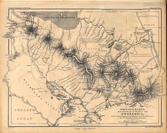
1861 Costa Rica Map
Guide to Costa Rica in unique blend of German and Spanish languages
732 miles away
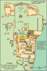
Copan Ruins Map
801 miles away
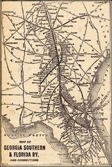
1913 Georgia Southern & Florida Railway Map
905 miles away
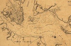
Plan of Charleston Harbor (Civil War) Map
1022 miles away
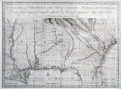
Georgia Map
Map of Georgia circa 1748. Includes Georgia and parts of the Carolinas, Florida and Louisiana.
1028 miles away
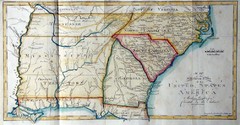
Southern Parts of the US Map
"This map was initially published in Morse's American Gazetteer in 1797 with Georgia...
1035 miles away
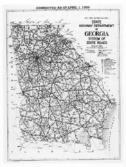
Georgia 1939 Road Map
State Road Map of Georgia in 1939
1043 miles away
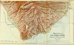
Guadeloupe British Military Operations 1810 Map
Map shows Guadeloupe British Military Operations by land and sea in 1810
1044 miles away
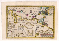
Antique Venezuela map
Very rare medium size map by Pieter van der Aa, published in his description of the Spanish...
1069 miles away
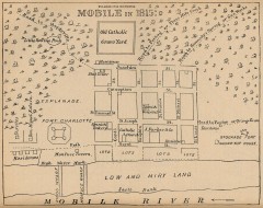
Antique map of Mobile from 1815
"Mobile in 1815" From Report on the Social Statistics of Cities, Compiled by George E...
1097 miles away
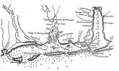
Mississippi & Alabama coastal area, 1732 Map
1100 miles away
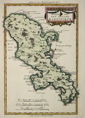
Martinque 1785 Map
1107 miles away
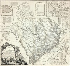
James Cook's South Carolina Map
English cartographer and explorer James Cook's 1773 map of English colony of South Carolina...
1114 miles away
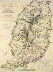
Grenada 1795 Map
1125 miles away
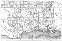
Mississippi Gulf Coast counties, 1906 Map
1139 miles away
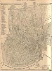
Antique map of New Orleans from 1908
Antique map of New Orleans, Louisiana, from The New Encyclopedic Atlas and Gazetteer of the World...
1145 miles away
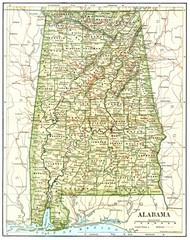
1891 Alabama Map
High quality 1891 Alabama map marking many cities and towns.
1146 miles away
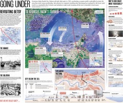
New Orleans Hurricane Map
This map, made before the Hurricane Katrina disaster in 2005, revisits the 1965 Hurricane Betsy and...
1146 miles away
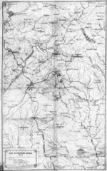
1864 Georgia Map
Used by General Sherman to guide his troops in the Civil War
1160 miles away
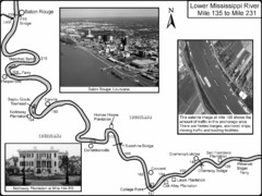
Mississippi River Mile 135 to Mile 231 Map
Historical Map from book "Mississippi River-Historical Sites and Interesting Places
1187 miles away
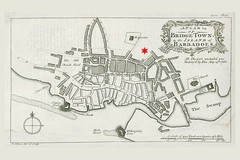
Bridgetown 1776 Map
1229 miles away

