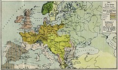
Extinction of France Map 1918
Shows pan-German scheme for the Extinction of France, 1918. As given in "Frankreich's...
0 miles away
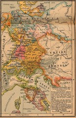
Germany Italy 1806 Map
Germany and Italy in 1806 at the dissolution of the Roman Empire
52 miles away
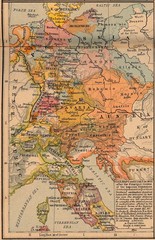
Germany Italy 1803 Map
Germany and Italy in 1803 after the Principle Decree of the Imperial Deputation
71 miles away
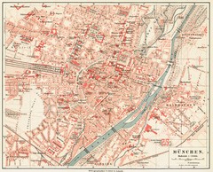
Munich Map
77 miles away
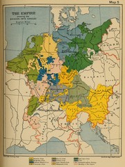
1912 Empire Historical Map
106 miles away
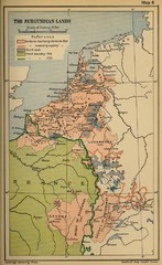
The Burgundian Lands Historical Map
106 miles away
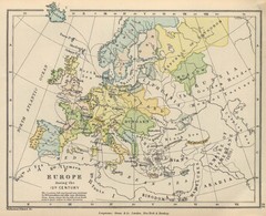
Europe 15th Century Colbeck Map
Europe during the 15th Century
117 miles away
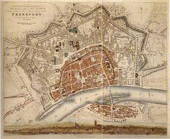
Frankfurt City Map 1840
174 miles away
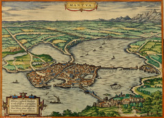
Mantua City Map 1575
Panoramic view of Mantua (Mantova), Italy from Braun and Hogenberg Civitates Orbis Terrarum Volume...
183 miles away
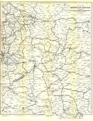
Austrial Empire Map
Historical map of the Austrian Empire. Includes some roads, rivers, towns, railways and steamboat...
212 miles away
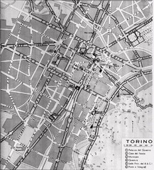
Turin Italy Map
Map of the city of Torino (Turin) from 1913 showing streets, parks and government buildings.
216 miles away
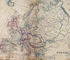
Old European map
226 miles away
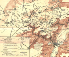
1806 Jena, Germany Map
Historic guide to Jena, Germany in German
231 miles away
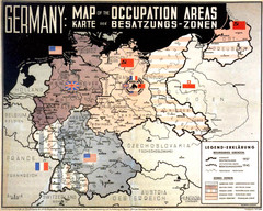
Occupation Areas of Germany after 1945 Map
This was an actual poster to be shown in the occupied Germany after the WWII.
237 miles away
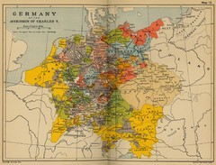
Germany 1519 Historical Map
237 miles away
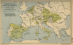
Dominions in the House of Habsburg - 1547...
267 miles away
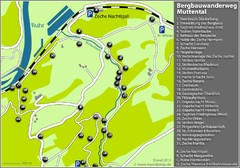
Muttental Bergbauwanderweg Map
282 miles away
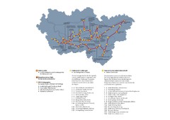
Ruhrgebiet Industriekultur Map
293 miles away
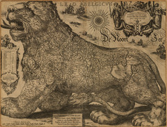
Jodocus Hondius’ Map of Belgium as a Lion...
Jodocus Hondius’ Map depicting Belgium as a Lion.
300 miles away
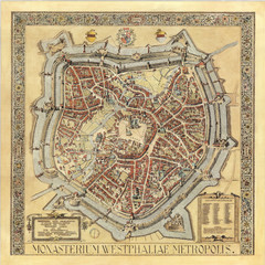
Münster City Map 1636
310 miles away
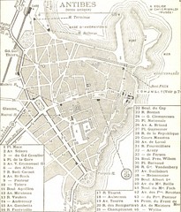
1934 Antibes Map
Historic map of Antibes, France
321 miles away
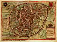
Medieval Brussels Map
332 miles away
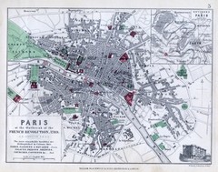
Paris Historical Map
Map of Paris at the Outbreak of the French Revolution in 1789 with colors denoting parks and places...
361 miles away
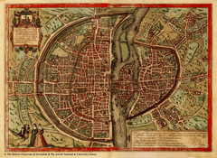
1569 Paris Map
Historic map of Paris showing city walls and farms
361 miles away
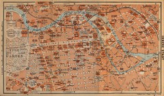
Berlin 1910 Map
362 miles away
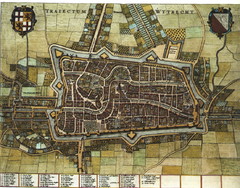
Historic map of Utrecht in 1652
371 miles away
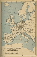
Universities of Europe Historical Map
375 miles away
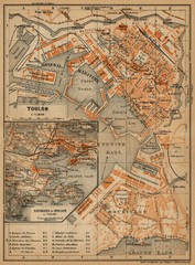
Toulon Map
The following maps are from "Southern France Including Corsica; Handbook for Travellers"...
377 miles away
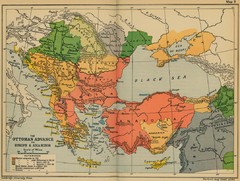
The Ottoman Advance of Europe and Asia Minor Map
383 miles away
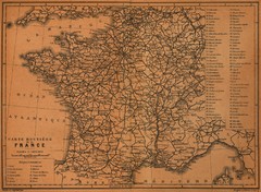
France Road Map, 1914
Road Map of France, 1914. From "Southern France Including Corsica; Handbook for Travellers...
383 miles away
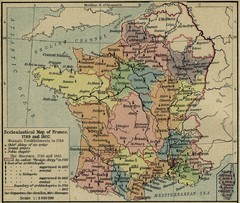
France Ecclesiastical Map 1789-1802
Shows monastic establishments in 1789 and dioceses/archbishoprics 1789 and 1802. From The...
383 miles away
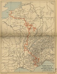
Wars of France and the Empire - 1521-1529...
383 miles away
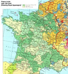
France Late 15th Century Map
France in the Late 15th Century (showing Royal Appanages)
395 miles away
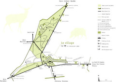
Chateau Chambord Estate Map
Estate map of the famous Chateau Chambord. Largest Chateau in the Loire River Valley.
396 miles away
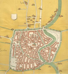
Haarlem City Map
Haarlem city center map from 1550
399 miles away
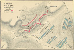
Battle of Crecy Map
Battlefield map of Crecy, France, August 28th 1346 during the Hundred Years War.
407 miles away
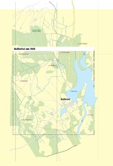
Naßlettel Map
408 miles away
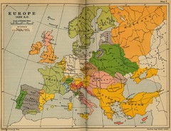
Europe 1490 Historical Map
414 miles away
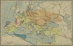
Roman Empire Map
422 miles away
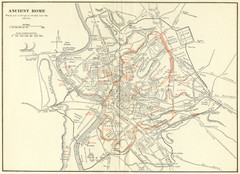
Ancient Rome Map
Shows places and buildings dating fromt he republic in red superimposed on modern day Rome
423 miles away

