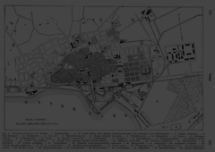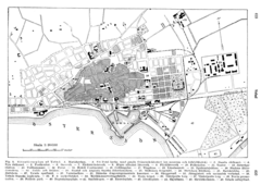
Ystad City Map
Ystad city map from 1920
less than 1 mile away
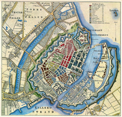
Copenhagen 1850 Map
52 miles away
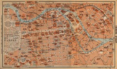
Berlin 1910 Map
201 miles away
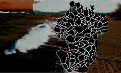
Opfer des Nationalsozialismus in Dithmarschen Map
210 miles away
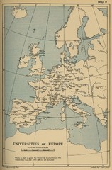
Universities of Europe Historical Map
230 miles away
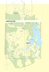
Naßlettel Map
231 miles away
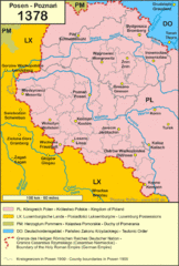
1378 Posen Map
244 miles away
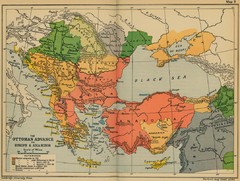
The Ottoman Advance of Europe and Asia Minor Map
261 miles away
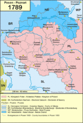
1789 Poland Map
Polish kingdoms and districts in 1789
267 miles away
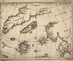
14th Century Northern Europe Map
301 miles away
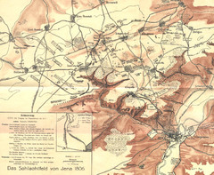
1806 Jena, Germany Map
Historic guide to Jena, Germany in German
324 miles away
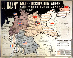
Occupation Areas of Germany after 1945 Map
This was an actual poster to be shown in the occupied Germany after the WWII.
326 miles away
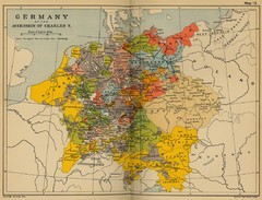
Germany 1519 Historical Map
326 miles away
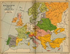
Europe 1490 Historical Map
332 miles away
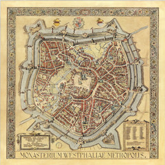
Münster City Map 1636
349 miles away
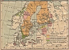
Historic map of Sweden in 1658
371 miles away
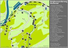
Muttental Bergbauwanderweg Map
388 miles away
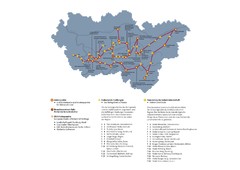
Ruhrgebiet Industriekultur Map
389 miles away
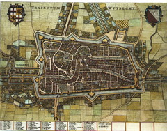
Historic map of Utrecht in 1652
424 miles away
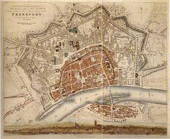
Frankfurt City Map 1840
425 miles away
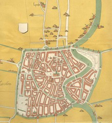
Haarlem City Map
Haarlem city center map from 1550
429 miles away
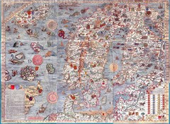
"Carta Marina" Scandinavian Marine Map
An ornate map of sea monsters, sinking ships, snakes, wolves and Scandinavia
471 miles away
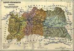
1910 Hungarian Map
Guide to area of Slovakia, previously part of Hungary
497 miles away
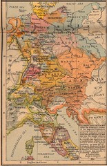
Germany Italy 1803 Map
Germany and Italy in 1803 after the Principle Decree of the Imperial Deputation
502 miles away
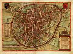
Medieval Brussels Map
504 miles away
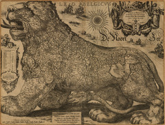
Jodocus Hondius’ Map of Belgium as a Lion...
Jodocus Hondius’ Map depicting Belgium as a Lion.
505 miles away
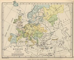
Europe 15th Century Colbeck Map
Europe during the 15th Century
509 miles away
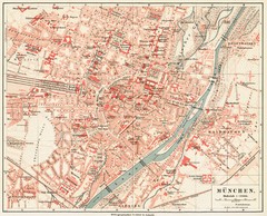
Munich Map
513 miles away

Estonia 1705 Map
519 miles away
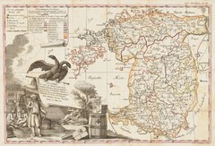
Estonia 1783 Map
531 miles away
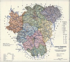
1910 Hungarian Map
Guide to historic Hungary, current Slovakia
536 miles away
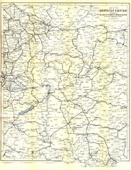
Austrial Empire Map
Historical map of the Austrian Empire. Includes some roads, rivers, towns, railways and steamboat...
548 miles away
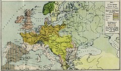
Extinction of France Map 1918
Shows pan-German scheme for the Extinction of France, 1918. As given in "Frankreich's...
555 miles away
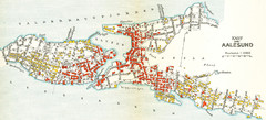
Alesund in 1911 Map
558 miles away
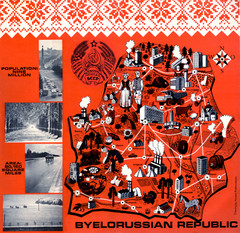
Belarussian Republic BSSR 1971 Map
Map shows points of industry and some country info from the Belarussian Republic in 1971
578 miles away
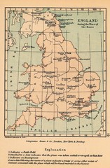
England War of the Roses Map
Guide to battle sites, encampments and treaties of the War of the Roses in England
581 miles away
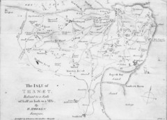
Thanet Isle Map
1809 Guide to Thanet Isle in Britain
586 miles away
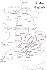
Tudor England Counties Map
Guide to the counties of England under Tudor reign
606 miles away

