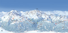
Paradiski Ski Trail Map
Official ski trail map of Paradiski ski areas from the 2007-2008 season. Includes Les Arcs, Peisey...
0 miles away
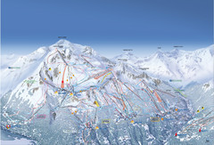
Les Arcs Ski Trail Map
Official ski trail map of Les Arcs ski area from the 2007-2008 season.
less than 1 mile away
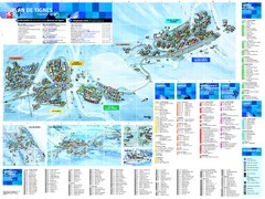
Tignes Ski Resort Town Map
Map of the ski resort town of Tignes, France. Shows residences, hotels, services, clubs, and other...
9 miles away
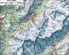
Mont Blanc topographic map
topo map of Mont Blanc, France; highest point in the Alps
17 miles away
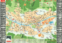
Chamonix Tourist Map
Tourist street map of Chamonix, France. In French.
26 miles away

Valfrejus Town Street Map
Street map of the ski resort town of Valfrejus, France. Shows points of interest.
27 miles away
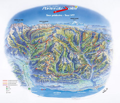
Portes du Soleil Summer Map
Summer recreation map of the Portes du Soleil covers both the French and Swiss sides of the area...
43 miles away
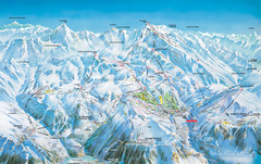
Vaujany Ski Trail Map
Ski trail map of Vaujany, France ski region. Shows lift systems from Vaujany, Oz En Oisans Station...
47 miles away
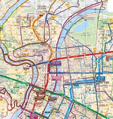
Lyon Map
Street map of Lyon, France. Shows metro lines.
95 miles away
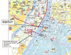
Lyon, France Tourist Map
95 miles away
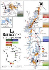
Burgandy Region Wine Districts Map
Shows wine districts of La Bourgogne region, France from Dijon to Macon.
111 miles away
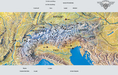
Alps Top Resort Town Map
Shows 12 top 4 season mountain resort towns in the Alps in France, Switzerland, Austria, and Italy.
118 miles away

Nice France Tourist Map
Tourist map of Nice, France. Shows points of interest. Inset shows Nice area.
131 miles away
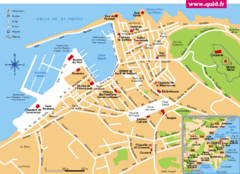
St. Tropez Tourist Map
Tourist map of Saint Tropez, France. Shows points of interest. Inset shows surrounding area.
159 miles away
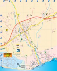
La Londe Tourist Map
Tourist map of La Londe, France. Shows services, businesses, and points of interest.
170 miles away
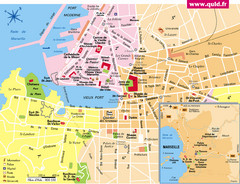
Marseille Tourist Map
Tourist map of central Marseille, France. Inset shows surrounding area. Shows points of interest.
171 miles away
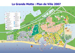
La Grande Motte Tourist Map
Tourist map of La Grande Motte, France. Shows beaches, hotels, and other points of interest.
192 miles away
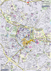
Montpellier Tourist Map
Tourist map of Montpellier, France. Shows points of interest.
197 miles away
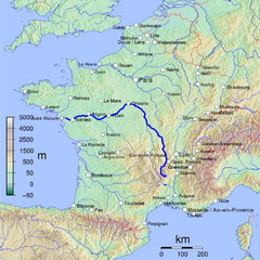
France Map with river Loire Highlighted
Map of France with river Loire higlighted.
206 miles away
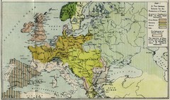
Extinction of France Map 1918
Shows pan-German scheme for the Extinction of France, 1918. As given in "Frankreich's...
216 miles away
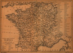
France Road Map, 1914
Road Map of France, 1914. From "Southern France Including Corsica; Handbook for Travellers...
225 miles away
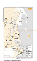
Bastia Tourist Map
Tourist map of Bastia, France. Shows accommodations, bars, and restaurants.
238 miles away
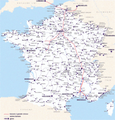
Map of SNCF National Railway Network in France
A SNCF map (Société Nationale des Chemins de Fer) showing the French train System...
249 miles away
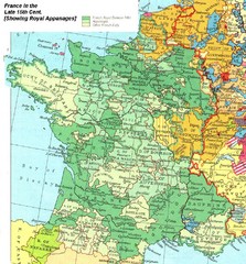
France Late 15th Century Map
France in the Late 15th Century (showing Royal Appanages)
263 miles away
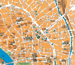
Toulouse Tourist Map
Tourist map of central Toulouse, France. Shows major buildings and hotel locations.
296 miles away
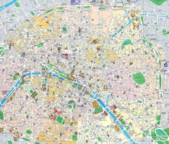
Paris, France Tourist Map
Streets in French, landmarks in Russian
309 miles away
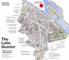
Latin Quarter, Paris Tourist Map
309 miles away
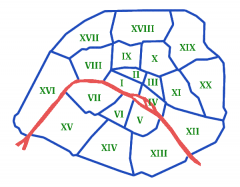
Arrondissements de Paris Map
Les arrondissements de Paris, du 1er au 20ème. (The boroughs of Paris, 1 through 20).
309 miles away
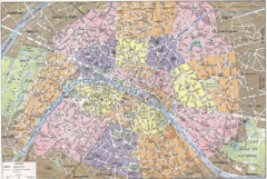
Arrondissements de Paris Map
City map shows 20 arrondissements of Paris, France.
309 miles away
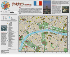
Paris Tourist Map
Tourist map of central Paris, France. Shows museums, government and university buildings, churches...
310 miles away
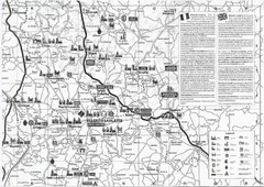
Villebois-Lavalette Tourist Map
Tourist map of Villebois-Lavalette, France and surrounding region. Shows points of interest. In...
315 miles away
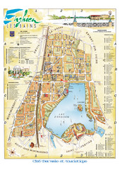
Enghien-les-Bains City Map
City map of Enghien-les-Bains, France. Located a few kilometers from Paris in the Val d’Oise...
316 miles away
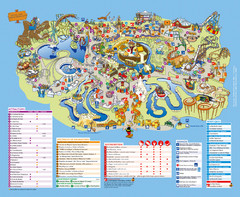
Asterix Park Map
Theme park map of Asterix Park in Paris, France
316 miles away
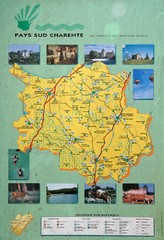
Charente Region Tourist Map
Tourist map of Charente region in southern France. Scanned.
331 miles away
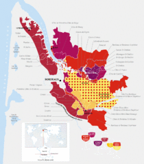
Bordeaux Region Wine Districts Map
Wine map of districts in the Bordeaux region of France. In French.
336 miles away
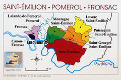
Libournais Region Wine District Map
Shows wine districts of the Libournais region near Libourne, France
343 miles away
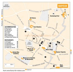
Bayeux Tourist Map
Tourist map of Bayeux, France shows accommodations and restauraunts
434 miles away
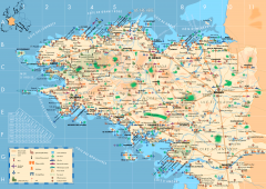
Brittany Tourist Map
Tourist map of province of Brittany in France. Shows ports, cathedrals, churches, chateaus, forts...
489 miles away

