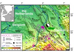
Earthquake in Lower Rhine Map
Seismotectonic map of the Lower Rhine graben system in the border area of Belgium, Germany and the...
0 miles away
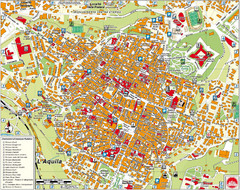
L'Aquila City Map
City map of L'Aquila, Italy. Shows points of interest.
701 miles away
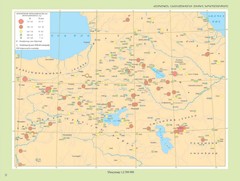
Armenian Highland Major Earthquakes Map
Map of the Major Earthquakes on the Armenian Highland
1920 miles away
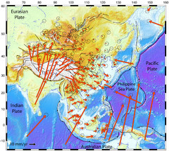
Horizontal Surface Motions map
This map illustrates the horizontal surface motions of sites in Asia. Eric Calais, a Purdue...
4318 miles away
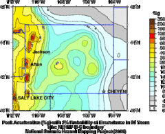
Seismic Hazard Map of Wyoming
Seismic Hazard map of probable earthquake activity for Wyoming.
4830 miles away
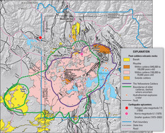
Yellowstone Geologic Map
Guide to geology, volcanic and earthquake activity and caldera outlines in Yellowstone National Park
4854 miles away
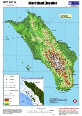
Nias Island Elevation and Earthquake Map
Elevation of Nias Island with details of March 2005 Earthquake.
6154 miles away
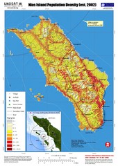
Nias Island Population Density Map
Density map for time of8.7 magnitude Earthquake March 28, 2005
6154 miles away
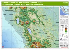
Elevation Over the Earthquake -Affected Areas of...
This map represents the range of elevation for the area affected by the 6.3 magnitude earthquake...
6389 miles away
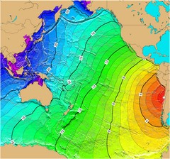
Tsunami Time Travel to Chile Map
The amount of time it will take for a tsunami in Chile to head West toward Australia. Based on the...
8811 miles away
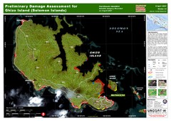
Ghizo Island Damage Map
Solomon Islands: Preliminary Damage Assessment for Ghizo Island (as of 8 Apr 2007)
8957 miles away

