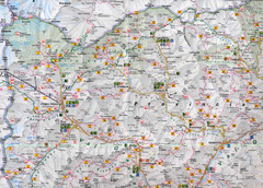
Northern Italy Map
Map of very north of Italy. Shows all towns, roads, recreational activities and gas stations.
0 miles away
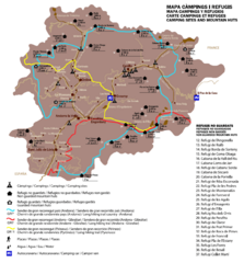
Andorra Long Hiking Routes, Mountain Huts, and...
Shows long hiking trails (grande randonee), mountain hits (refuges), and camping sites in Andorra
390 miles away
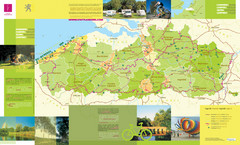
Flanders Camping and Cycling Map
Shows campgrounds and cycling routes in Flanders, Belgium
410 miles away
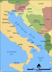
Adriatic Sea Tourist Map
536 miles away
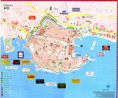
Dubrovnik Map
545 miles away
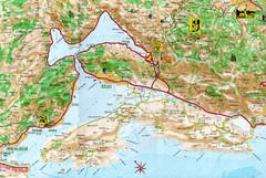
Kotor Bay Tourist Map
Tourist Map of Bay of Kotor, Montenegro.
577 miles away
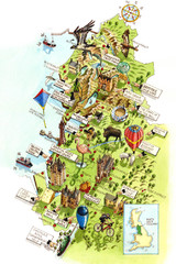
North West England Map
North West England map by Katherine Baxter
750 miles away
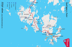
Hvaler Island Hopping Map
Tourist map of island hopping in Hvaler, Norway. Shows accommodations, beaches, camping, guest...
925 miles away
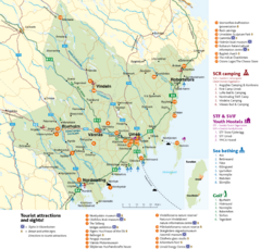
Umea Area Tourist Map
Regional map of Umeå, Sweden. Shows tourist attractions, camping, youth hostels, sea bathing...
1333 miles away
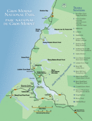
Gros Morne National Park Map
Shows campgrounds and trails in Gros Morne National Park, Newfoundland, Canada. In French and...
2976 miles away
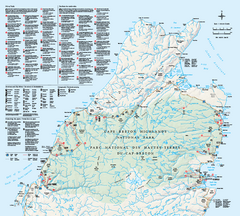
Cape Breton Highlands National Park Map
Official Parks Canada map of Cape Breton Highlands National Park, Nova Scotia. Shows hiking trails...
3164 miles away
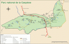
Gaspesie National Park Map - Summer
Official SEPAQ map of Gaspesie National Park in the Gaspe Peninsula, Quebec. Show trails, huts...
3343 miles away
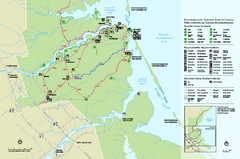
Kouchibouguac National Park Map
Official park map of Kouchibouguac National Park, New Brunswick. Shows hiking trails, services...
3356 miles away
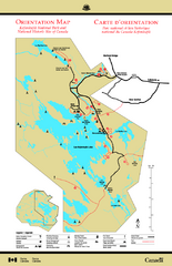
Kejimkujik National Park Map
Official Parks Canada map of Kejimkujik National Park, Nova Scotia. Shows lakes, trails, campsites...
3447 miles away
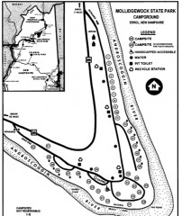
Mollidgewock State Park map
Campground map of Mollidgewock State Park in New Hampshire.
3686 miles away
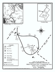
Milan Hill State Park Campground map
Campground map for Milan Hill State Park in New Hampshire.
3696 miles away
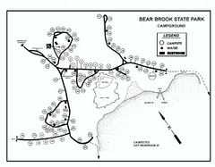
Bear Brook State Park Campground map
Campground map of Bear Brook State Park in New Hampshire
3755 miles away
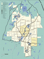
Myles Standish State Forest summer trail map
Map of all the trails and roads in Myles Standish State Park, MA. 15 miles of bicycle trails, 35...
3773 miles away
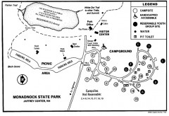
Monadnock State Park map
Campground map of Monadnock State Park in New Hampshire
3796 miles away
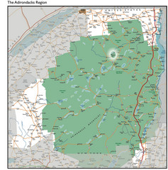
Adirondacks Lakes Map
Guide to lakes and waterways in the Adirondacks Park Preserve
3832 miles away
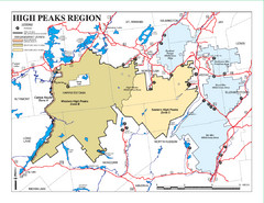
Adirondacks Canoeing Map
Guide to canoeing in the Adirondacks
3834 miles away
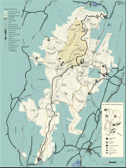
Mt. Greylock State Reservation map
Official summer map of the Mount Greylock State Reservation. At 3,491 feet, Mount Greylock is the...
3850 miles away
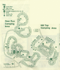
Gilbert Lake State Park Camping Map
3935 miles away
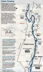
Deleware River Boat Map
3993 miles away
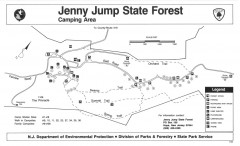
Jenny Jump State Forest map
Trail and camping map of Jenny Jump State Forest in New Jersey.
3993 miles away
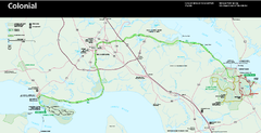
Colonial National Historical Park Official Map
Official NPS map of Colonial National Historical Park in Virginia. The Historic Jamestowne...
4046 miles away
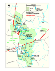
Antietam National Battlefield Official Map
Official NPS map of Antietam National Battlefield in Maryland. Open all year.
4171 miles away

Shenandoah National Park map
Official NPS map of Shenandoah National Park.
4245 miles away
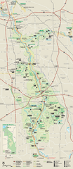
Cuyahoga Valley National Park Official Park Map
Official NPS map of Cuyahoga Valley National Park in Ohio. Map shows all areas. Cuyahoga Valley...
4257 miles away
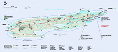
Isle Royale National Park Official Park Map
Official NPS map of Isle Royale National Park in Michigan. Isle Royale National Park is one of...
4263 miles away
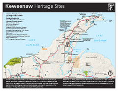
Keweenaw National Historical Park Official Map
Official NPS map of Keweenaw National Historical Park in Michigan. Map shows all areas. Park...
4272 miles away
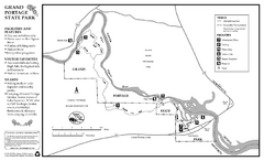
Grand Portage State Park Map
Map of park with detail of trails and recreation zones
4282 miles away
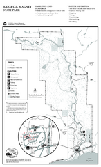
Judge C.R. Magney State Park Map
Map of park with detail of trails and recreation zones
4305 miles away
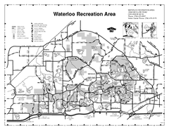
Waterloo State Recreation Area Map
The park is over 20,000 acres and has 4 campgrounds, beaches, picnic areas, 11 fishing lakes...
4314 miles away
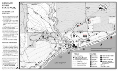
Cascade River State Park Map
Map of park with detail of trails and recreation zones
4328 miles away
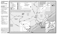
Temperance River State Park Map
map of park with detail of trails and recreation zones
4347 miles away
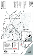
George Crosby Manitou State Park Map
Map of park with detail of trails and recreation zones
4359 miles away
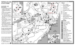
Tettegouche State Park Map
map of park with detail of trails and recreation zones
4370 miles away
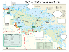
Voyageurs National Park Official Park Map
Official NPS map of Voyageurs National Park in Minnesota. Map shows all areas and hiking trails...
4377 miles away
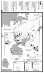
Bear Head Lake State Park Map
Map of park with detail of trails and recreation zones
4380 miles away

