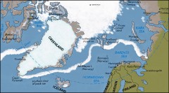
Arctic Ocean Map
Map of the Arctic Ocean. Shows the Arctic Circle
0 miles away
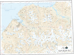
Longyearbyen Area Topo Map
Topo map of area around Longyearbyen, Svalbard Islands
179 miles away
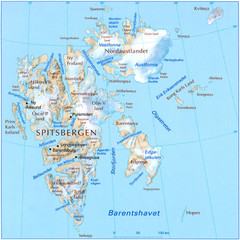
Svalbard Physical Map
Physical map of Svalbard, Norway. The northernmost part of the kingdom of Norway. Shows ice...
199 miles away
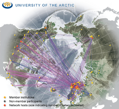
University of the Arctic Thematic Networks map
University of the Arctic represents a network with more than 100 institutions around the...
284 miles away
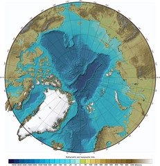
Arctic Ocean Bathymetric Map
Bathymetric map of Arctic Ocean shows all ocean topography and topographical tints for land.
566 miles away
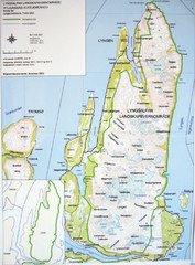
Lyngen Peninsula Map
Topo map of the northern Lyngen Peninsula near Tromso, Norway. Shows peaks. From photo.
745 miles away
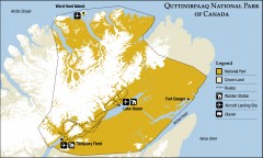
Quttinirpaaq National Park map
Official Parks Canada map of Quttinirpaaq National Park. From Parks Canada website: "Far to...
774 miles away
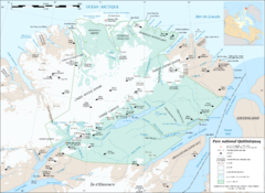
Parc National Quttinirpaaq Map
Map of Quttinirpaaq National Park, Nunavut, Canada. Shows glaciers, rivers, bodies of water, and...
777 miles away
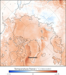
Arctic Temperature Change: 1987 -- 2007 Map
874 miles away
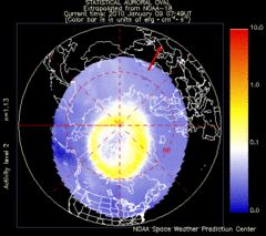
Aurora Borealis in Real Time Map
Aurora Borealis as seen by satellite superimposed on the northern hemisphere of the globe.
874 miles away
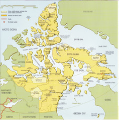
Nunavut Map
Map of Nunavut, Canada. Shows parks and geographical features in the territory.
1449 miles away
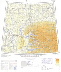
Norlisk Region Topo Map
Topo map of city of Norlisk, Russia in Siberia. Created by U.S. Army
1506 miles away

