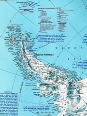
Antarctic Peninsula Map
Shows stations and named geographic features of the Antarctic Peninsula. Scanned.
0 miles away
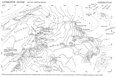
Livingston Island Map
477 miles away
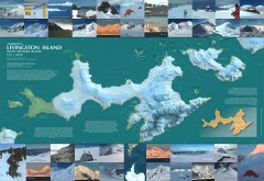
Livingston Island Ice Cover Map
L.L. Ivanov et al, Antarctica: Livingston Island, South Shetland Islands (from English Strait to...
479 miles away
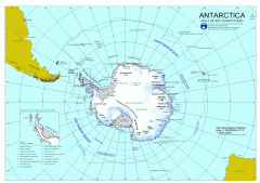
Antarctica Map
Overview map of Antarctica and the Southern ocean
1313 miles away
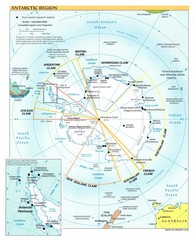
Antarctic Region Map
1313 miles away
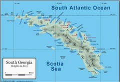
South Georgia and the South Sandwich Islands Map
Guide to the South Georgia and South Sandwich Islands, a British overseas territory and penguin...
1324 miles away
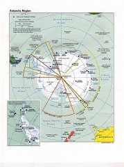
Antarctic Region Political Map 1997
Map centered on South Pole shows all country claims in Antarctica. Also shows year-round research...
1559 miles away
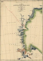
Map of Shackleton’s 1907-1909 Antarctic...
Eric Stewart Marshall's map of Shackleton's "Nimrod" expedition of 1907-09.
2055 miles away
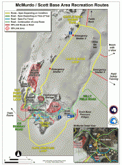
McMurdo and Scott Base Area Recreation Route Map
Shows roads around McMurdo Station (US) and Scott Base (New Zealand) Antarctic research stations on...
2069 miles away
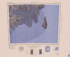
Coulman Island Map
An island 18 miles long and 8 miles wide
2296 miles away
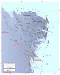
Victoria Land and the Northern Trans-Antarctic...
Shows major glaciers and mountains
2376 miles away
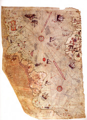
1513 Turkish Map of the Americas
First Turkish map to show Americas, summary of 20 older maps, drawn on gazelle skin. Very accurate...
4342 miles away

