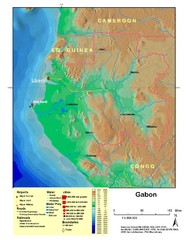
Gabon Shaded Relief Map
Shaded relief map of Gabon. Shows airports, railroads, roads, and cities.
0 miles away
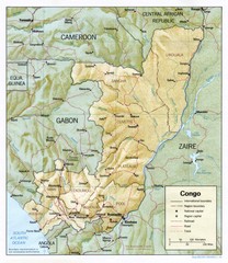
Congo Physical Relief Map
Physical relief map of the Republic of the Congo. Shows major roads and cities.
294 miles away
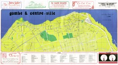
Kinshasa Gombe and Centreville Tourist Map
Tourist map of Gombe and Centreville in Kinshasa. Shows streets and points of interest. In French...
352 miles away
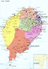
Sao Tome Political Map
Political map of island of São Tomé, lying on the equator off the west coast of...
353 miles away
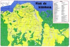
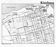
Kinshasa Overview Map
Overview map of Kinshasa, Democratic Republic of Congo shows major streets.
354 miles away
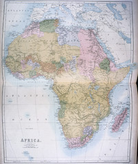
Africa Map 1885
Shows Africa with pre-colonial boundaries demarcated at the Berlin Conference of 1885.
378 miles away
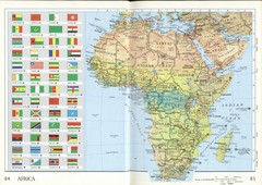
Africa Flag Map
Physical map of Africa with flag legend for all countries. Scanned.
378 miles away
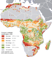
Projected climate change impacts for agriculture...
Africa is one of the regions that will be hit the hardest by climate change, and it will likely...
563 miles away
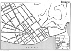
Bangui Road Map
Road map of Bangui city in the Central African Republic.
600 miles away
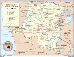
Democratic Republic of Congo Map
Overview map of the Democratic Republic of Congo (DRC).
736 miles away
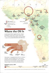
Sub-Saharan Africa Oil Map
Shows major oil producing countries in Sub-Saharan Africa. Biggest two countries are Nigeria and...
834 miles away
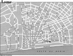
Lome, Togo Tourist Map
862 miles away
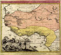
Erben’s Map of Western Africa (1743)
Homann Erben's map of the "Barbary Coast" of Western Africa in 1743.
882 miles away
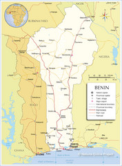
Benin Tourist Map
948 miles away

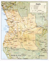
Angola Political Map
Guide to regions of the country of Angola
972 miles away
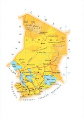
Chad Country Map
Guide to the country of Chad
1234 miles away
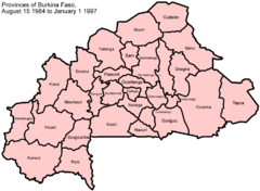
Burkina Faso Provinces Map
Guide to the provinces of Burkina Faso, from August 15, 1984-January 1, 1997
1268 miles away
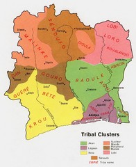
Ivory Coast Tribal Map
This map marks the multiple tribal clusters and borders of the Ivory Coast.
1317 miles away
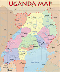
Uganda Political Map
Political map of Uganda. Shows regions, cities, and water features.
1438 miles away
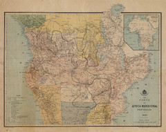
Map Color Pink: Portuguese States of Africa
"Map Color Pink" was the name given to the Portuguese project to link Angola to...
1608 miles away
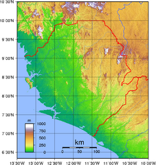
Sierra Leona Topography Map
Purely topographic map of Sierra Leone, with country outline
1707 miles away
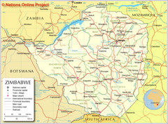
Zimbabwe Tourist Map
1733 miles away
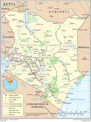
Kenya Overview Map
Overview map of Kenya. Shows major cities, roads, and national parks.
1820 miles away
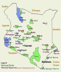
Kenya Tourist Map
1820 miles away
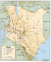
Kenya Tourist Map
1820 miles away
Botswana map
1838 miles away
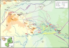
Seleous Game reserve, northern portion Map
Shows the northern part of the Seleous Game reserve in Tanzania around the Rufiji River and Beho...
1874 miles away

89 Map
Tourist map of Gaborone, Botswana. Shows major streets and points of interest.
1912 miles away
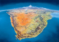
Southern Africa Panorama Map
Panoramic view of southern Africa. Shows South Africa, Namibia, Botswana, Angola, Zambia, Zimbabwe...
1920 miles away
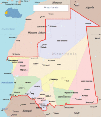
Mauritania Region Map
Guide to the african country of Mauritania
1946 miles away
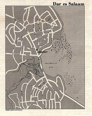
Dar es Salaam, Tanzania Tourist Map
1953 miles away

Addis Ababa Tourist Map
1989 miles away
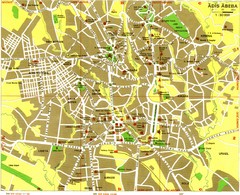
Addis Ababa Tourist Map
1989 miles away
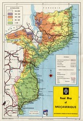
Mozambique Road Map
Shows major roads. Color-coded by elevation.
2040 miles away
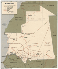
Mauritania Map
Guide to the African country of Mauritania
2071 miles away

