Wilson's Creek National Battlefield Official...
Official NPS map of Wilson's Creek National Battlefield in Missouri. Open Daily, except...
259 miles away
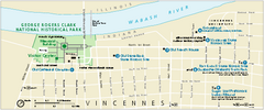
George Rogers Clark National Historical Park...
Official NPS map of George Rogers Clark National Historical Park in Indiana. Map shows all areas...
259 miles away
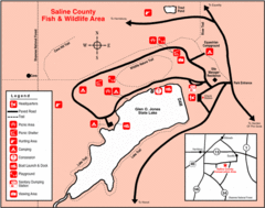
Saline County State Fish & Wildlife Area...
262 miles away
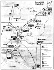
Tunnel Hill State Trail, Illinois Site Map
263 miles away
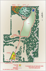
Pleasant Valley Nature Park Map
265 miles away
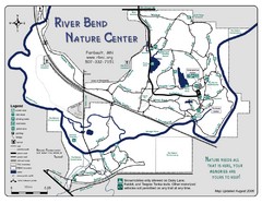
River Bend Nature Center Map
266 miles away
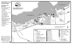
Sakatah Lake State Park Map
map of park with detail of trails and recreation zones
267 miles away
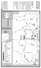
Nerstrand-Big Woods State Park Map
map of park with detail of trails and recreation zones
268 miles away
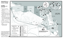
Frontenac State Park Summer Map
Map of park with detail of trails and recreation zones
272 miles away
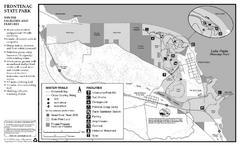
Frontenac State Park Winter Map
Map of park with detail of trails and recreation zones
272 miles away
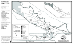
Minneopa State Park Map
Map of park with detail of trails and recreation zones
275 miles away
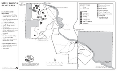
Kilen Woods State Park Winter Map
Winter seasonal map of park with detail of trails and recreation zones
276 miles away
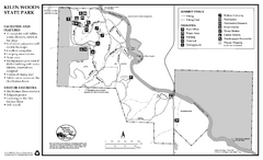
Kilen Woods State Park Summer Map
Summer seasonal map of park with detail of trails and recreation zones
276 miles away
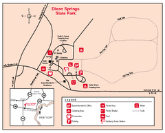
Dixon Springs State Park, Illinois Site Map
276 miles away
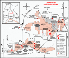
Cache River, Illinois Site Map
277 miles away
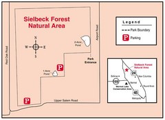
Sielbeck Forest, Illinois Site Map
278 miles away
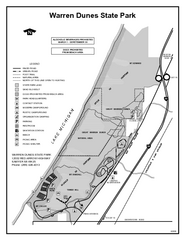
Warren Dunes State Park, Michigan Site Map
279 miles away
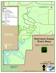
Hartman Creek State Park - Single Track Bike...
286 miles away
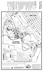
Flandrau State Park Map
Map of park with detail of trails and recreation zones
291 miles away
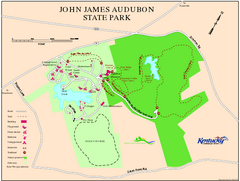
John James Audubon State Park Map
Map of trails, facilities and historical sites in John James Audubon State Park.
291 miles away

Bull Shoals White River State Park Map
Lake Map of Bull Shoals White River State Park
294 miles away
Bull Shoals White River State Park Detail Map
Bull Shoals - White River State Park Area Map including amenities.
296 miles away
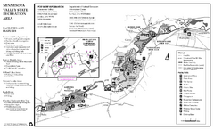
Minnesota Valley State Recreation Area Map
Map of recreation area with detail of trails and recreation zones
298 miles away
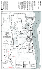
Afton State Park Summer Map
Map of park with detail of trails and recreation zones
299 miles away
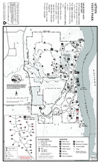
Afton State Park Winter Map
Map of park with detail of trails and recreation zones
299 miles away
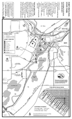
Fort Snelling State Park Summer Map
Summer map of park with detail of trails and recreation zones
303 miles away
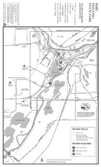
Fort Snelling State Park Winter Map
Winter map of park with detail of trails and recreation zones
303 miles away
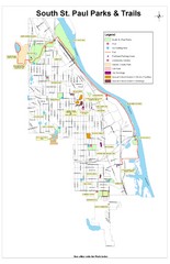
South St. Paul Parks and Trails Map
Park and trail map of South St. Paul, Minnesota.
303 miles away
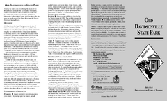
Old Davidsonville State Park Map
Map of Old Davidsonville State Park historical sites, amenites and other park sites.
304 miles away
Brown County State Park, Indiana Site Map
307 miles away
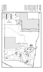
Fort Ridgely State Park Summer Map
Summer map of park with detail of trails and recreation zones
307 miles away
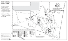
Fort Ridgely State Park Winter Map
Winter map of park with detail of trails and recreation zones
307 miles away
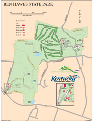
Ben Hawes State Park Map
Map of trails, facilities and golf course in Ben Hawes State Park.
310 miles away
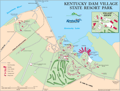
Kentucky Dam Village State Resort Park Map
Map of golf course and facilities for Kentucky Dam Village State Resort Park, one of three state...
310 miles away
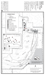
Blue Mounds State Park Map
Map of park with detail of trails and recreation zones
315 miles away
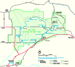
Pea Ridge National Military Park Official Map
Official NPS map of Pea Ridge National Military Park in Arkansas. The park is open year round 8-5...
315 miles away
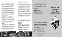
Powhatan Historic State Park Map
Map of the historic buildings of Powhatan State Park.
315 miles away
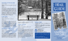
Lake Charles State Park Trail Map
Map of trails for Lake Charles State Park including othe park sites and amenities.
316 miles away
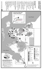
Lake Shetek State Park Summer Map
Summer seasonal map of park with detail of trails and recreation zones
316 miles away
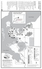
Lake Shetek State Park Winter Map
Winter seasonal map of park with detail of trails and recreation zones
316 miles away

