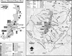
Mount Mitchell State Park map
Official map of Mt. Mitchell State Park in North Carolina. Park contains the 6,684 ft summit of...
334 miles away
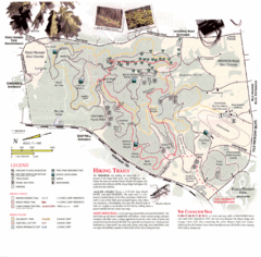
Percy Warner Park Map
337 miles away
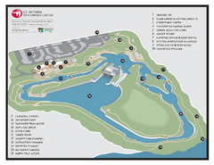
US National Whitewater Center Map
Facility map of the US National Whitewater Center in Charlotte, North Carolina
347 miles away
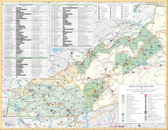
Pisgah National Forest and Nantahala National...
Pisgah National Forest and Nantahala National Forest recreation map. Contains list of all...
348 miles away
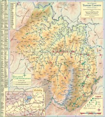
Yancey County Chamber of Commerce Map
Map of Yancey County, North Carolina. Shows all public roads, communities, hiking trails and picnic...
350 miles away
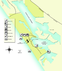
Don Pedro Island State Park Map
Map of park with detail of trails and recreation zones
357 miles away
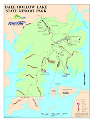
Dale Hollow Lake State Park Map
Map of trails and facilities of Dale Hollow Lake State Park.
359 miles away
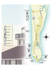
Gasparilla Island State Park Map
Map of park with detail of trails and recreation zones
365 miles away
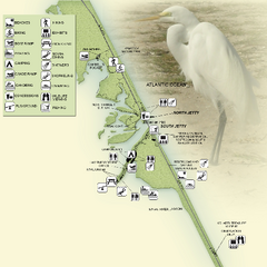
Sebastian Inlet State Park Map
Map of park with detail of trails and recreation zones
367 miles away
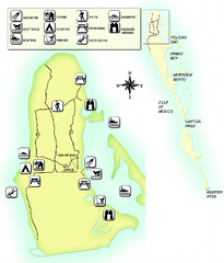
Cayo Costa State Park Map
Map of park with detail of trails and recreation zones
369 miles away
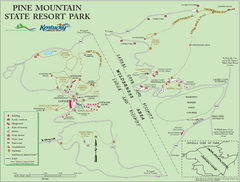
Pine Mountain State Resort Park Map
Map of trails and facilities in Pine Mountain State Resort Park .
371 miles away
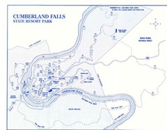
Cumberland Falls State Resort Park Map
Cumberland Falls Park Area Map
373 miles away
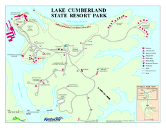
Lake Cumberland State Resort Park Map
Map of trails and facilities for Lake Cumberland State Resort Park.
376 miles away
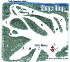
Hawksnest Golf & Ski Resort Ski Trail Map
Trail map from Hawksnest Golf & Ski Resort.
376 miles away
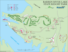
Barren River Lake State Resort Park Map
Map of facilities and golf course in Barren River Lake State Resort Park.
379 miles away
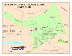
Levi Jackson Wilderness Road State Park Map
Map of trails and facilities of Levi Jackson Wilderness Road State Park.
392 miles away
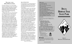
Delta Heritage Trail State Park Map
Map of Arkansas Historical Delta Heritage Trail both completed and uncompleted sections.
392 miles away
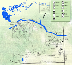
Koreshan State Historic Site Map
Map of park with detail of trails and recreation zones
396 miles away
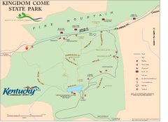
Kingdom Come State Park Map
Trail map for Kingdom Come State Park.
398 miles away
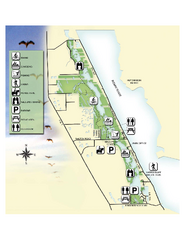
Savannas Preserve State Park Map
Map of park with detail of trails and recreation zones
400 miles away
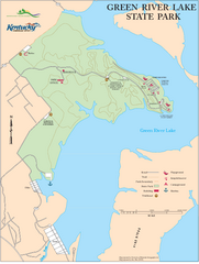
Green River Lake State Park Map
Map of trails and facilities in Green River Lake State Park.
402 miles away
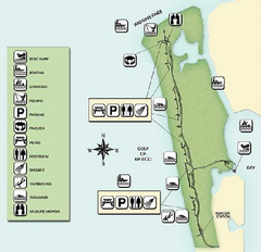
Delnor-Wiggings Pass State Park Map
Map of park with detail of trails and recreation zones
405 miles away
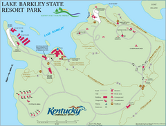
Lake Barkley State Resort Park Map
Map of the trails and facilities of Lake Barkley State Resort Park.
409 miles away
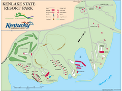
KenLake State Resort Park Map
Map of trails, facilities, and golf course for the KenLake State Resort Park located on the mid...
411 miles away
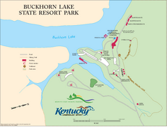
Buckhorn Lake State Resort Park Map
Map of Trails and Facilities of Buckhorn Lake State Resort Park.
415 miles away
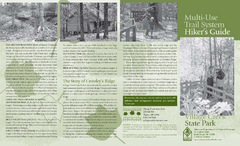
Village Creek State Park Trail Map
Trail map for hiking, bicycles and horses in Village Creek State Park.
420 miles away
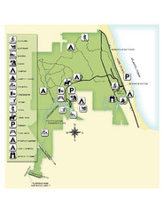
Jonathan Dickinson State Park Map
Map of park with detail of trails and recreation zones
423 miles away
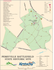
Perryville Battlefield State Historic Site Map
Map of trails and interpretive markers for the historical site of Perryville Battlefield.
429 miles away
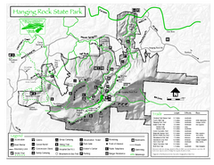
Hanging Rock state park Map
Interior color map of Hanging Rock State Park.
433 miles away
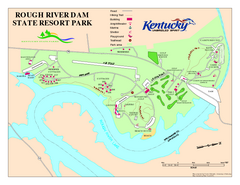
Rough River Dam State Resort Park Map
Map of trails, facilities and golf course in Rough River Dam State Resort Park.
434 miles away
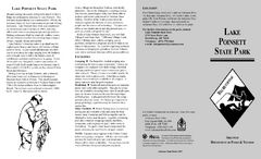
Lake Poinsett State Park Map
Map of Lake Poinsett State Park showing Great Blue Heron Trail , boat ramps and park amenities.
435 miles away
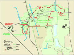
Guilford Courthouse National Military Park...
Official NPS map of Guilford Courthouse National Military Park in North Carolina. Open All Year 8...
435 miles away
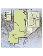
Fakahatchee Strand Preserve State Park Map
Map of park
438 miles away
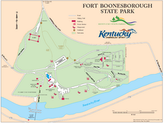
Fort Boonesborough State Park Map
Map of trails, historical sites and facilities at Fort Boonesborough State Park.
443 miles away
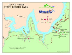
Jenny Wiley State Resort Park Map
Map of trails and facilities of Jenny Wiley State Resort Park.
449 miles away
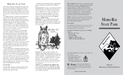
Moro Bay State Park Map
Map of Moro Bay State Park showing trails and park amenities.
451 miles away
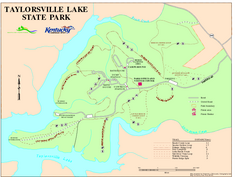
Taylorsville Lake State Park Map
Map of trails and facilities in Taylorsville Lake State Park.
452 miles away
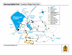
Dancing Rabbit Trail - Crowley's Ridge State...
Trail Map for Dancing Rabbit Trail in Crowley's Ridge State Park showing Walcott Lake, hiking...
454 miles away
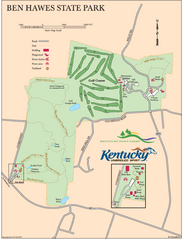
Ben Hawes State Park Map
Map of trails, facilities and golf course in Ben Hawes State Park.
456 miles away

