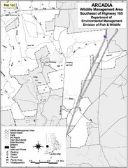
Arcadia Wildlife Management Area Map - Southeast
Reference map shows portion of Arcadia Wildlife Management Area, Rhode Island southeast of Highway...
532 miles away
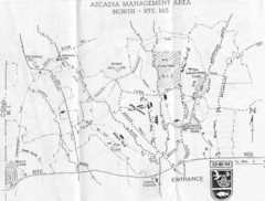
Arcadia Management Area State Map
Trail map for Arcadia Management Area in Rhode Island
533 miles away
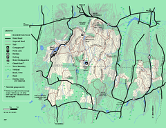
Brimfield State Forest trail map
Trail map of Brimfield State Forest in Massachusetts
535 miles away
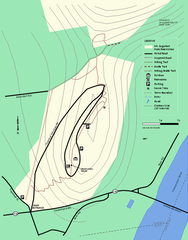
Mt. Sugarloaf State Reservation trail map
Trail map of Mount Sugarloaf State Reservation
539 miles away
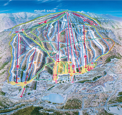
Mount Snow Ski Trail Map - main face
Trail map of main face of Mt Snow ski area near Wilmington, Vermont
539 miles away
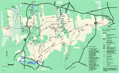
Mount Holyoke Range State Park Map
Trail map of Holyoke Range State Park.
541 miles away
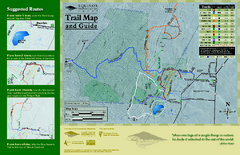
Equinox Preservation Trail map
Trail map of the Equinox Preservation Trust in Manchester, VT. The Equinox Preservation is over...
543 miles away
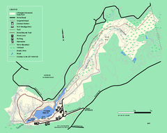
Chicopee State Park trail map
Chicopee State Park trail map
547 miles away
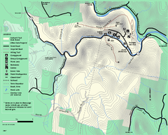
Mohawk Trail State Forest map
Map of the Mohawk Trail State Forest in Charlemont, Massachusetts.
548 miles away
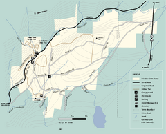
Windsor State Forest trail map
Trail map of Windsor State Forest in Massachusetts.
548 miles away
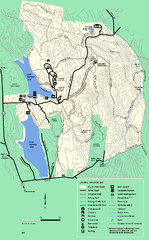
DAR State Forest summer map
Summer use map of the Daughters of the American Revolution state forest.
548 miles away
Kenneth Dubuque Memorial State Park trail map
Trail map of the Kenneth Dubuque state park conservation area in Massachusetts.
549 miles away
Monroe State Forest trail map
Trail map of Monroe State Forest in Massachusetts.
549 miles away
DAR State Forest winter map
Winter use map of the Daughters of the American Revolution State Forest.
550 miles away
Mt. Tom State Reservation trail map
Trail map of Mt. Tom State Reservation
550 miles away
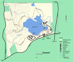
Clarksburg State Park trail map
Trail map of Clarksburg State Park in Massachusetts.
554 miles away
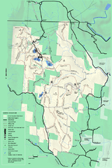
Savoy Mountail trail map
Trail map for Savoy Mountain in Massachusetts.
554 miles away
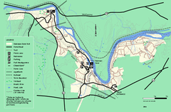
Robinson State Park trail map
Trail map of Robinson State Park in Massachusetts.
555 miles away
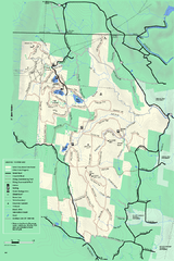
Savoy Mountain winter map
Winter use map of Savoy Mountain in Massachusetts.
555 miles away
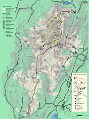
Mt. Greylock State Reservation summer trail map
Summer trail map of the Mt. Greylock State Park area in Massachusetts.
560 miles away
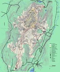
Mt. Greylock State Reservation winter trail map
Winter use trail map of Mt. Greylock State Park in Massachusetts.
560 miles away
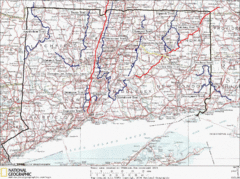
Connecticut Long Distance Trails Map
A map of long distance trails throughout Connecticut. Go to the website below for detailed trail...
566 miles away
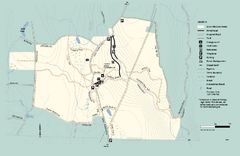
Granville State Forest trail map
Trail map of Granville State Forest in Massachusetts
569 miles away
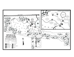
Dinosaur State Park map
Trail map of Dinosaur State Park in Connecticut.
570 miles away
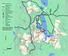
Tolland State Forest winter trail map
Winter usage trail map of the Tolland State Forest area in Massachusetts.
570 miles away
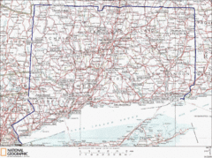
Connecticut State Parks Map
This is statewide map for Connecticut state parks. Go to the source website for detailed hiking...
571 miles away
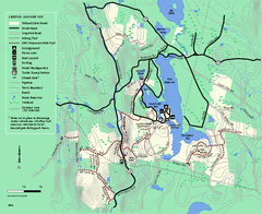
Tolland State Forest summer trail map
Summer use map for Tolland State Forest in Massachusetts.
571 miles away
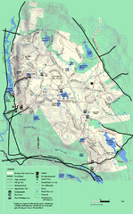
October Mountain State Forest trail map
Trail map of October Mountain State Forest in Massachusetts.
571 miles away
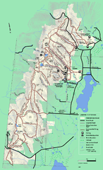
Pittsfield State Forest winter trail map
Winter use trail map of Pittsfield State Forest in Massachusetts.
571 miles away
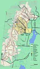
Pittsfield State Forest summer trail map
Summer use trail map of Pittsfield State Forest in Massachusetts.
571 miles away
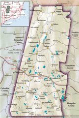
Berkshires Map
Overview map of the Berkshires region of Western Massachusetts
572 miles away
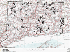
Connecticut State Forests Map
This is a map of all of the state forest boundaries in Connecticut. Follow the source web address...
573 miles away
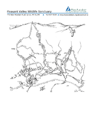
Pleasant Valley Wildlife Sanctuary Trail Map
Trail map of Pleasant Valley Wildlife Sanctuary
574 miles away
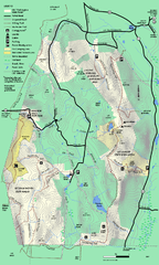
Mt. Washington State Forest trail map
Trail map of Mt. Washington State Forest
583 miles away
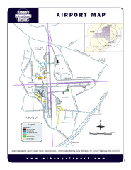
Albany International Airport Map
Official Map of the Albany International Airport in New York. Shows all terminals.
587 miles away
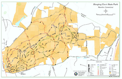
Sleeping Giant State Park map
Trail map for Sleeping Giant State Park in Connecticut.
588 miles away
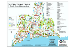
South Central Connecticut Recreational Trail Map
Map of South Central Connecticut showing all recreational trails and open spaces.
591 miles away
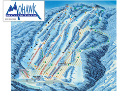
Mohawk Mountain Ski Trail Map
Ski trail map of Mohawk Mountain ski area
593 miles away
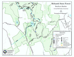
South Mohawk Mountain State Forest (Summer Trails...
Summer trails for South Mohawk State Forest in Connecticut.
593 miles away

