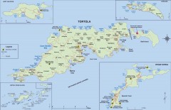
Map of Tortola Island
Tourist map of Tortola, the main island of the British Virgin Islands. Shows national parks and...
889 miles away
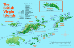
British Virgin Islands Tourist Map
Tourist map of British Virgin Islands with list of major attractions
891 miles away

San Pedro Tourist Map
Tourist map of town of San Pedro on island of Ambergris Caye, Belize
895 miles away
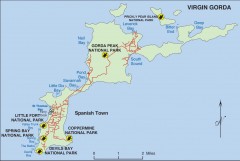
Map of Virgin Gorda
Map of Virgin Gorda in the British Virgin Islands. Shows national parks.
901 miles away
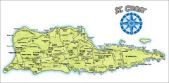
St. Croix Island Map
Overview map of island of St. Croix, US Virgin Islands. Shows districts, roads, and towns.
911 miles away
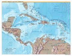
Central America Map
912 miles away
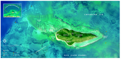
Buck Island Reef National Monument Map
Official NPS park map of Buck Island Reef National Monument off island of St. Croix in the US...
915 miles away
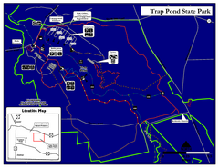
Trap Pond State Park Map
Delaware State Park map.
925 miles away
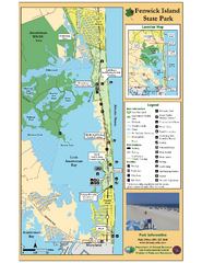
Fenwick Island State Park Map
Great state park map with clear key.
925 miles away
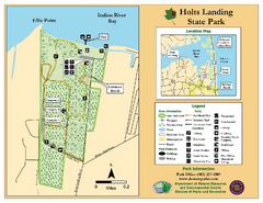
Hots Landing State Park Map
Clear map and legend.
934 miles away
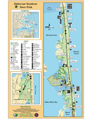
Deleware Seashore State Park Map
Park with perfect views and hiking routes.
935 miles away
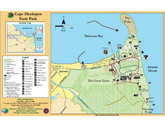
Cape Henlopen State Park Map
Beautiful park with delightful recreational activities.
944 miles away
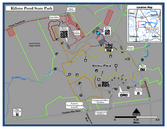
Killens Pond State Park Map
Map of Delaware State Park.
957 miles away
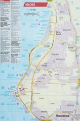
Aruba Beaches Map
Shows beaches near Oranjestad, Aruba.
967 miles away
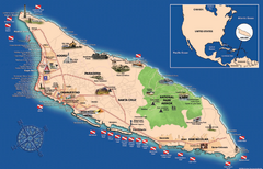
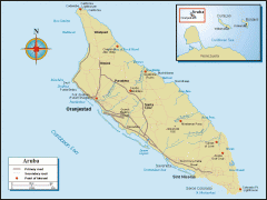
Aruba Tourist Map
Tourist map of island of Aruba. Shows beaches and diving spots.
971 miles away
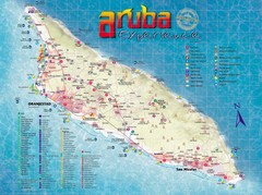
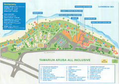
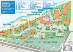
Aruba Tourist Map
Tourist map of Aruba. Shows hotels, restaurants, activities, and shopping locations.
972 miles away
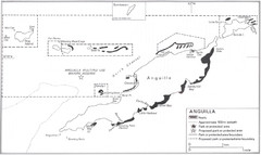
Anguilla Coral Reefs Map
Coral reef map of Anguilla Island.
983 miles away
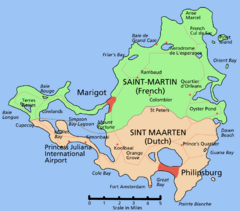
Saint Martin Map
Overview map shows entire island of Saint Martin (French) or Sint Maarten (Dutch).
989 miles away
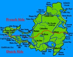
St. Maarten Beach Tourist Map
990 miles away
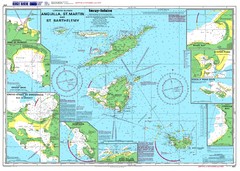
Anguilla St. Martin St. Barthelemy Nautical Map
Nautical map of Anguilla St. Martin St. Barthelemy. Shows insets of major ports.
991 miles away
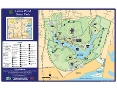
Lums Pond State Park Map
Clear legend and map of this wonderful state park.
996 miles away
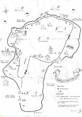
Big Corn Island Tourist Map
998 miles away
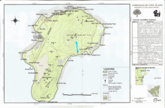
Corn Island Topo Map
998 miles away
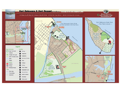
Fort Delaware State Park Map
Nice park on a beautiful island.
998 miles away
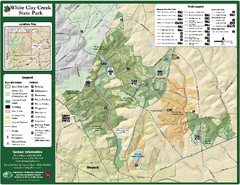
White Clay Creek State Park Map
Clear map and legend of this beautiful state park.
1007 miles away
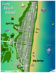
Ship Bottom, New Jersey Map
1009 miles away
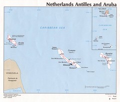
Aruba Tourist Map
1010 miles away
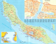
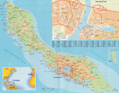
Curacao map
Map of all of Curacao with Willemstad inset. Shows all scuba dive spots
1021 miles away
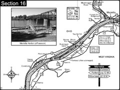
Ohio River at Marietta, OH and 8 miles downriver...
This is a page from the Ohio River Guidebook. The map shows important information for boaters and...
1027 miles away
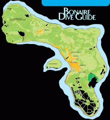
Bonaire tourist map
Tourist map of Bonaire island in the Netherland Antilles. Shows dive sites.
1045 miles away
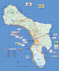
Bonaire Island Tourist Map
1046 miles away
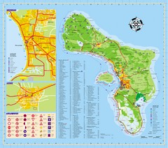
Bonaire Tourist Map
Tourist map of island of Bonaire. Shows points of interest and dive spots.
1046 miles away
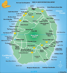
Nevis Tourist Map
Tourist map of Nevis Island, near St. Kitts. Shows inns, villages, and other points of interest.
1050 miles away
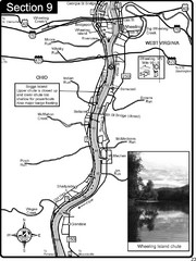
Ohio River at Wheeling, WV and 10 miles downriver...
This is a page from the Ohio River Guidebook. The map shows important information for boaters and...
1056 miles away
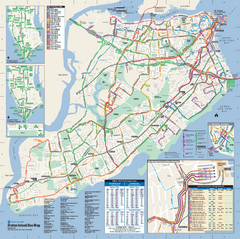
Staten Island Bus Map
Official Bus Map of Staten Island. Shows all routes.
1074 miles away
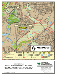
Staten Island Greenbelt Map
1074 miles away

