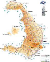
Santorini Tourist Map
Tourist map of Greek island of Santorini. Shows roads and points of interest with legend.
3431 miles away

Santorini Tourist Map
Tourist map of Santorini shows beaches, cities and roads.
3431 miles away

Oia Tourist Map
Tourist map of Oia, Santorini, Greece. Scanned.
3434 miles away
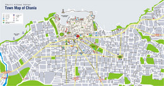
Chania Tourist Map
Tourist map of the town of Chania on the island of Crete, Greece. Shows points of interest.
3437 miles away
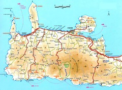
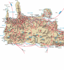
Western Crete Tourist Map
Tourist map of western portion of Crete. Shows points of interest.
3443 miles away
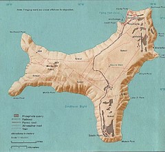
Christmas Island Tourist Map
3446 miles away
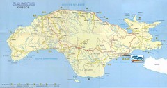
Samos Tourist Map
Tourist map of the island of Samos, Greece. Shows points of interest.
3450 miles away
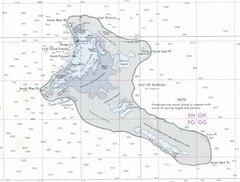
Kiritimati (Christmas) Island Tourist Map
3450 miles away
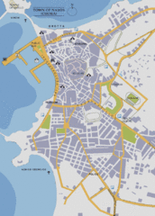
Naxos Town Map
Simplified tourist map of town of Naxos, Greece.
3468 miles away
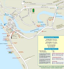
Duong Dong Town Map
Map of Duon Dong, Phu Quoc Island
3471 miles away
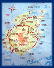
Paros Island Map
Overview map of island of Paros, Greece. Photo of paper map.
3473 miles away
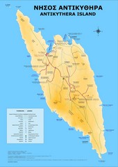
Antikythira Tourist Map
Tourist map of island of Antikythira, Greece. Shows points of interest.
3483 miles away
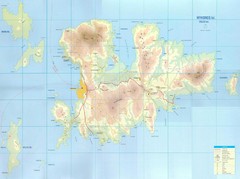
Mykonos Island Map
Also shows Delos Island and Rinia Island.
3486 miles away
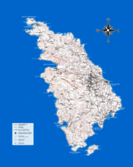
Sifnos Topo Map
Topographical map of the island of Sifnos, Greece. Shows tourist points of interest.
3486 miles away
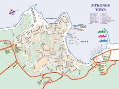
Mykonos Town Map
Tourist map of the town of Mykonos on the island of Mykonos, Greece. Shows points of interest.
3488 miles away
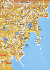
Ermoupolis Map
3501 miles away
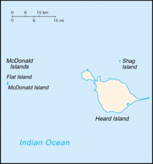
Heard Island and McDonald Islands Tourist Map
3515 miles away
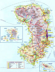
Chios Tourist Map
Tourist map of island of Chios, Greece. Shows points of interest. In Greek. Scanned.
3520 miles away
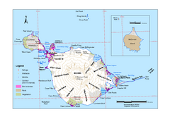
Heard Island and McDonald Islands Map
Map of Heard Island and McDonald Islands with place names, contours and the location of glaciers...
3521 miles away
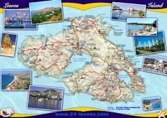
Lesvos (Lesbos) Tourist Map
Tourist map of island of Lesbos (Lesvos), Greece. In English and Greek. Shows points of interest...
3550 miles away
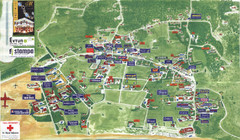
Kalamaki Zakynthos Tourist Map
Tourist map of town of Kalamaki on Zakynthos Island. Scanned.
3669 miles away
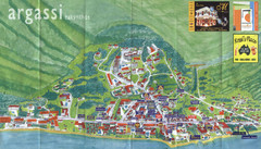
Argassi Tourist Map
Tourist map of Argassi, Zakynthos Island, Greece. Shows all businesses. Scanned.
3669 miles away
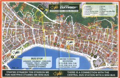
Zakynthos City Tourist Map
Tourist map of Zakynthos city on Zakynthos Island. Shows major points of interest and bus routes...
3671 miles away
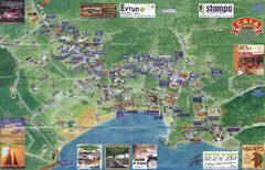
Tsilivi Tourist Map
Tourist map of town of Tsilivi, Zakynthos Island, Greece. Shows businesses. Scanned
3673 miles away
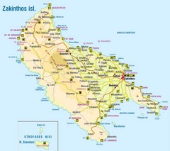
Zakinthos Tourist Map
Tourist map of island of Zakinthos, Greece. Shows symbols for tourist activities.
3674 miles away
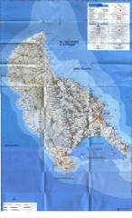
Zakynthos Island Map
Detailed map of Zakynthos Island. Scanned
3675 miles away
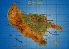
Zakynthos Tourist Map
Tourist map of island of Zakynthos, Greece. Shows points of interest. Scanned.
3675 miles away
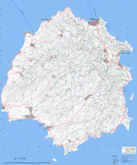
Thassos Topo Map
Topographical map of island of Thassos, Greece. Shows roads and trails.
3679 miles away
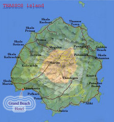
Thassos Island, Greece Tourist Map
3683 miles away
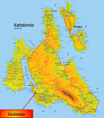
Kefalonia Map
3704 miles away
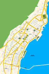
Argostoli City Map
Simple street map of island city of Argostoli, Kefalonia, Greece. Some points of interest shown.
3706 miles away
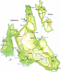
Kefalonia and Ithaka Overview Map
Overview map of the islands of Kefalonia and Ithaka (Ithaki), Greece.
3706 miles away
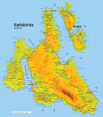
Kefalonia and Ithaka Map
Detailed elevation map of islands of Kefalonia and Ithaka (Ithaki), Greece
3707 miles away
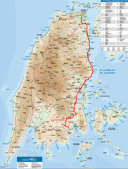
Lefkada Tourist Map
Tourist map of Ionian island of Lefkada, Greece. Shows points of interest. Also shows island of...
3726 miles away
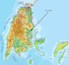
Lefkada Tourist Map
Tourist map of island of Lefkada, Greece.
3726 miles away
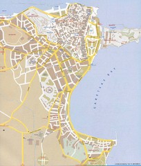
Corfu Town Map
Tourist map of town of Corfu (Kerkyra) on the island of Corfu, Greece.
3797 miles away
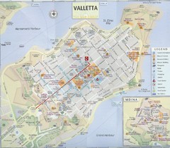
Valletta Tourist Map
Tourist map of central Valletta, Malta. Shows points of interest. Scanned
3852 miles away
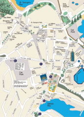
St. Julians Map
Simple map marking points of interest and roads.
3854 miles away

