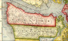
Clallam and Jefferson Counties Washington, 1909...
622 miles away
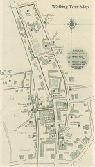
San Juan Capistrano walking tour Map
Architectural walking tour map of San Juan Capistrano, California.
631 miles away
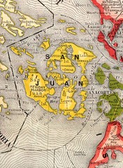
San Juan County Washington, 1909 Map
634 miles away
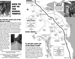
Kinsol Trestle Map
Map of the Kinsol Trestle
663 miles away
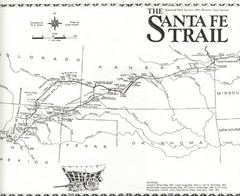
Santa Fe Trail Map
Historic map of the Santa Fe caravan trail
680 miles away
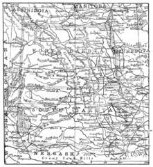
Map of North and South Dakota 1906
709 miles away
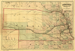
1874 Nebraska Railroad Map
Road Map and Guide to Railroads in Nebraska, used for settlers
721 miles away
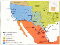
Mexican War Historical Map
754 miles away
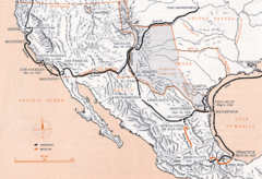
Mexican War Historical Map
754 miles away
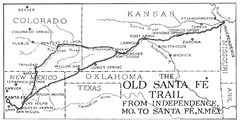
The Old Santa Fe Trail Map
764 miles away
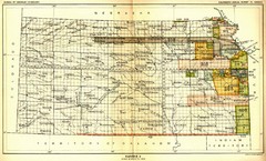
Kansas Native American Territories 1866-1867 Map
489., 492 Cherokee, 19 Jul 1866 (on Indian Territory Map 22, Kansas, Map 27) 495. Sauk and Fox of...
826 miles away
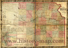
Kansas Railroad Map 1867
Here for your perusal is a sectional map of the state of Kansas showing the route of the Union...
826 miles away
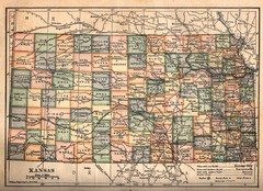
Kansas Map Circa 1910
849 miles away
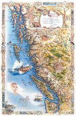
Pacific Northwest Inside Passage Map
Amazing Pacific Northwest Inside Passage Legendary map.
866 miles away
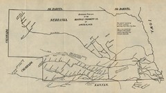
Skimming Stations of the Beatrice Creamery...
"Skimming Stations of the Beatrice Creamery Co. of Lincoln, Neb." From Report of the...
885 miles away
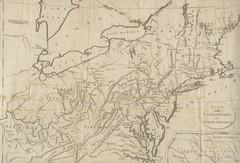
18th Century United States Map
902 miles away
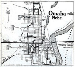
Omaha Nebraska 1920 Map
915 miles away
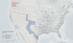
United States, Westward Expansion Map
923 miles away
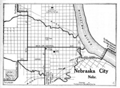
Nebraska City 1920 Map
929 miles away
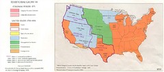
Territorial Expansion in Eastern United States...
941 miles away
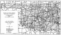
Oklahama Highway Map
Highway Map of Oklahoma State circa 1935. Includes all roads, towns, and detailed information on...
944 miles away
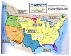
American Expansion 1818-1853 Map
Shows the four major steps through which the US gained most of it's western land between 1818...
958 miles away

Winnipeg 1908 Map
Street map of Winnipeg with street index.
959 miles away
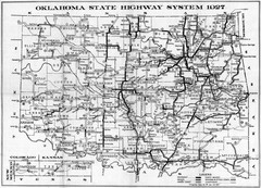
Oklahoma State Highway Map
Highway Map of Oklahoma State circa 1927. Includes all main roads and highways up to state...
966 miles away
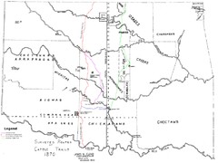
Cattle Trails Map
980 miles away
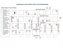
Walking tour of Historic Independence Map
Self-guided walking tour map of Historic Independence, Kansas. Shows historic housing in the...
1013 miles away
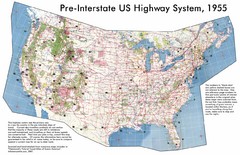
Pre-Interstate US Highway System Map
United States route and highway system pre-interstates, 1955
1017 miles away
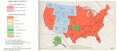
United States in 1870 Map
Map of the United States with territorities color coded and dated for statehood through 1920.
1017 miles away

Our Flag: A Graphical Journey Map
A map/timeline that breaks down the visual history of the U.S. flag.
1017 miles away
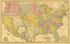
1839 United States Historical Map
1017 miles away
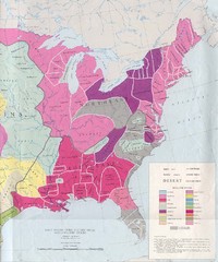
Early Native American Tribes in United States...
1017 miles away
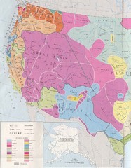
Early Native American Tribes in Western United...
1017 miles away
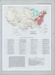
Exploration and Settlement in 1675 Historical...
1017 miles away
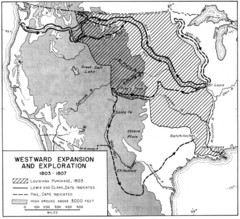
Westward Expansion in the United States 1803-1807...
1017 miles away
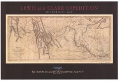
Historical Lewis & Clark Expedition...
1017 miles away
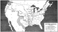
Westward Expansion in the United States 1815-1845...
1017 miles away
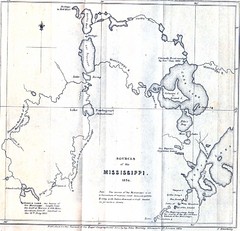
Sources of the Mississippi River - 1834...
1017 miles away
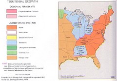
Territorial Expansion in Eastern United States...
1017 miles away
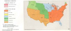
Territorial Expansion in Eastern United States...
1017 miles away

