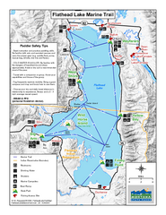
West Shore State Park Map
Glacially carved rock outcrops rise from Flathead Lake to overlooks with spectacular views of the...
1296 miles away
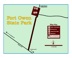
Fort Owen State Park Map
Fort Owen’s adobe and log remains preserves the site of the first permanent white settlement...
1297 miles away
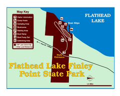
Finley Point State Park Map
This park is located in a secluded, mature pine forest near the south end of Flathead Lake. Enjoy...
1298 miles away
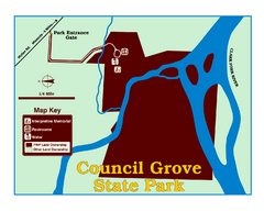
Council Grove State Park Map
Clearly marked map.
1300 miles away
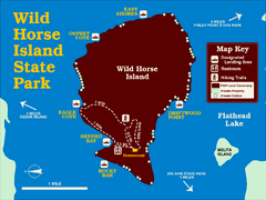
Wild Horse Island State Park Map
Boat access to this day-use-only, primitive park is regulated to protect the 2,000-acre island. The...
1304 miles away
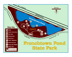
Frenchtown Pond State Park Map
Plan to bring everyone in the family to this day-use-only park for a whole afternoon of picnicking...
1304 miles away
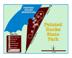
Painted Rocks State Park Map
Located in the scenic Bitterroot Mountains, this 23-acre park offers boating and water sport...
1308 miles away
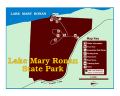
Lake Mary Ronan State Park Map
Off the beaten path just seven miles west of Flathead Lake, this park is shaded by Douglas fir and...
1312 miles away
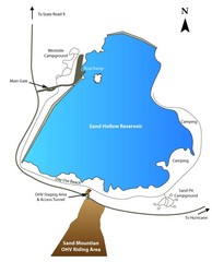
Sand Hollow State Park Map
With its warm, blue waters and red sandstone landscape, Utah's newest state park is also one...
1312 miles away
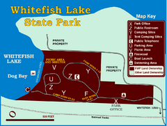
Whitefish Lake State Park Map
Although it’s right on the outskirts of Whitefish, this small park provides a mature forest...
1314 miles away
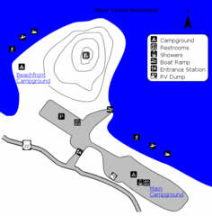
Otter Creek Reservoir Map
This quiet getaway is a great destination for ATV riders, boaters, and birders. Access three ATV...
1318 miles away
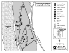
Thompson Falls State Park Map
This shaded, quiet campground is located on the Clark Fork River near the town of Thompson Falls in...
1356 miles away
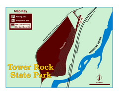
Tower Rock State Park Map
Tower Rock State Park is one of Montana's newest state parks. The 400-foot high igneous rock...
1665 miles away
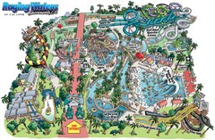
Raging Waters Sacramento Map
Fun and amusing water park for the whole family!
1781 miles away
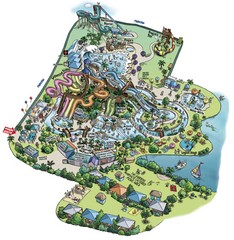
Raging Waters San Jose Map
Simple map of this fun water park for the whole family!
1832 miles away
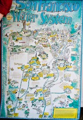
San Francisco Water System Cartoon Map
Cartoon map of the San Francisco Water System. From photo of poster from San Francisco Public...
1851 miles away
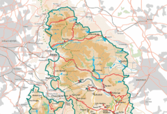
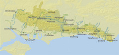
Peak District National Park Map
National Park map.
3749 miles away
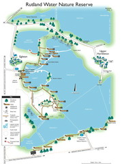
Map of Rudlin Nature Reserve
Full-color map of Rudlin Water Nature Reserve that includes the locations off all Footpaths...
3814 miles away
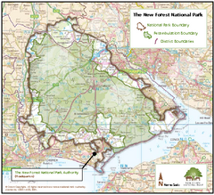
The New Forest National Park Map
Nice map with clear park boundaries.
3837 miles away
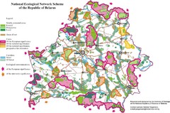
Belarus National Ecological Network Map
Ecological Network map of country of Belarus. Show protected lands, cores of significance, and...
4719 miles away
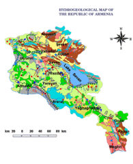
Armenia Hydrological Map
5927 miles away
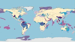
World Water Map
Shows seven major habitat types for freshwater ecoregions: Large Rivers, Large River Headwaters...
6181 miles away
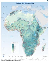
Africa River Basin Map
Guide to the major river basins of Africa
6949 miles away
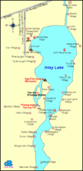
Inlay Lake Map
Map of the Inlay Lake and its surrounding area.
7997 miles away
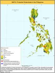
Protected Watersheds in the Philippines Map
Shows mining concessions, groundwater vulnerability, and watersheds in the Philippines. From site...
8142 miles away
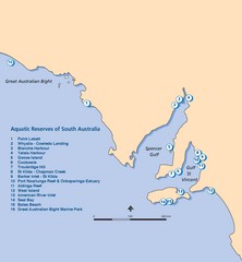
Aquatic Reserves of South Australia Map
Map shows the location of the state of South Australia's aquatic reserves. "Aquatic...
10007 miles away

