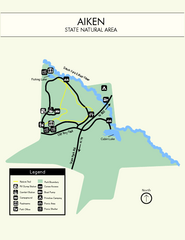
Aiken State Park Map
Small and simple state park map.
314 miles away
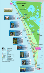
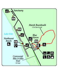
Point Pelee National Park Map
Large and clear national park map
314 miles away
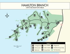
Hamilton Branch State Park Map
Simple state park map.
315 miles away
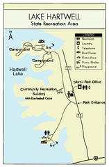
Lake Hartwell State Park Map
Clear state park map.
322 miles away
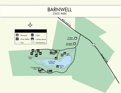
Barnwell State Park Map
Simple map of this state park.
326 miles away
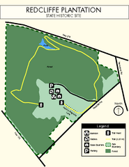
Redcliffe Plantation State Park Map
Clear map of this wonderful state park with a beautiful natural setting.
330 miles away
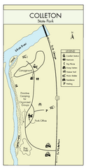
Colleton State Park Map
Detailed map and map legend of this beautiful state park.
336 miles away
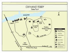
Givhans Ferry State Park Map
Map marked with shelter, phone, restrooms, picnic and more.
337 miles away
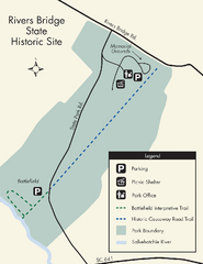
Rivers Bridge State Park Map
Nice and clear map of this history state park.
341 miles away
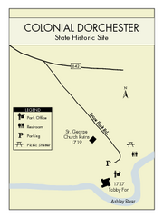
Colonial Dorchester State Park Map
Office, parking, picnic sites and more are all clearly marked on this state park site.
342 miles away
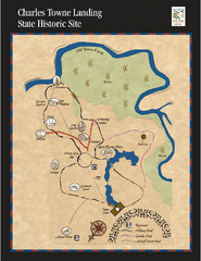
Charles Towne Landing State Park Map
This small park is full of beautiful hiking trails set in a natural setting.
351 miles away
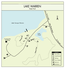
Lake Warren State Park Map
Clearly marked state park map.
357 miles away
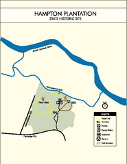
Hampton Plantation State Park Map
Clear and easy to read map.
358 miles away
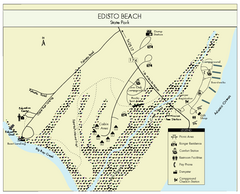
Edisto Beach State Park Map
Clearly labeled map of this beautiful state park.
372 miles away
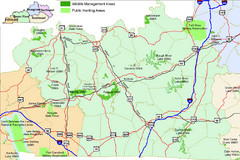
Green River Area Hunting Map
Map marking highways, forests, parks and hunting zones in Kentucky's beautiful Green River...
413 miles away
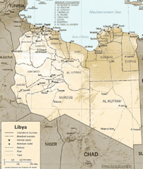
Lybia Map
Clear map and legend of this African Nation.
501 miles away
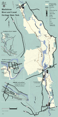
Heritage State Park Map
Clear state park map marking trails and facilities.
523 miles away
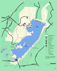
Ashland State Park Map
Clear map and legend marking trails, parking, facilities and more.
534 miles away
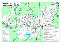
Blue Hills State Park Map
Clearly marked state park map of this beautiful state park.
550 miles away
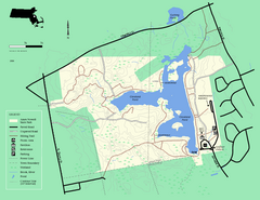
Ames Nowell State Park Map
Simple map of this beautiful state park. Visit and hike, bike, and shop!
551 miles away
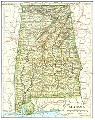
1891 Alabama Map
High quality 1891 Alabama map marking many cities and towns.
556 miles away
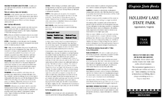
Holiday Lake State Park Map
Easy to read state park map.
687 miles away
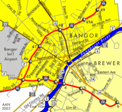
Bangor City Map
Airport, roads and interstates are on this map.
745 miles away
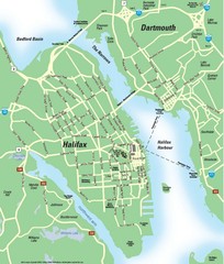
Halifax Area Map
Streets, roads and points of interest are all clearly marked on this map.
963 miles away
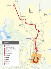
Austin MetroRail Map
CapMetro MetroRail map in Austin Texas, completed by 3/30/09.
1147 miles away
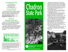
Chadron State Park Map
The majestic beauty of the Pine Ridge forms the backdrop for this great, get away from it all state...
1270 miles away
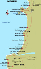
Negril Coastal Map
Coastal map of this Jamaican town.
1359 miles away
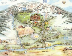
Steamboat Springs Map
A fun map marking points of interest and more.
1454 miles away
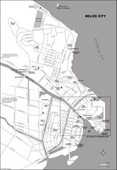
Belize City map
Detailed map of the Belize City road system.
1498 miles away
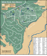
White Rock Road Map
Large and detailed map marking points of interest and roads.
1572 miles away
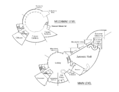
Utah Field House of Natural History Map
So much time is revealed here, even more geologic time than in the Grand Canyon. Within an 80-mile...
1596 miles away
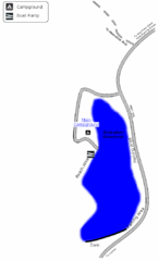
Steinaker State Park Map
Fish for rainbow trout and largemouth bass, and enjoy sandy beaches, swim, boat, and waterski at...
1596 miles away
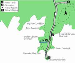
Dead Horse Point State Park Map
Stroll along the Rim Walk, towering 2,000 feet directly above the Colorado River. The mesa that is...
1621 miles away
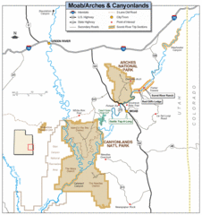
Canyonlands National Park Map
Clear map and key marking cities, rivers, highways and points of interest.
1631 miles away
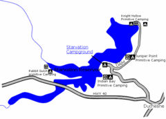
Starvation State Park Map
The sprawling waters of Starvation Reservoir offer great fishing and boating. Find a secluded...
1647 miles away
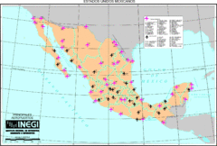
Mexican Airports Map
1665 miles away
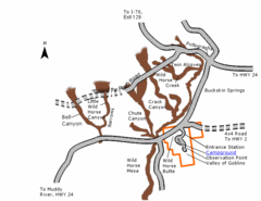
Goblin Valley State Park Map
The vast landscape of sandstone goblins may have visitors wondering if they're in Mars or Utah...
1673 miles away

