
Eugene Parks map
City of Eugene Parks Map. Includes streets and trails.
321 miles away
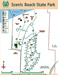
Scenic Beach State Park Map
Map of park with detail of trails and recreation zones
322 miles away
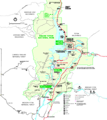
Grand Teton National Park Map - Summer
Official NPS summer map of Grand Teton National Park, Wyoming. The summer map includes all...
324 miles away
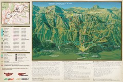
Jackson Hole Summer Mountain Biking/Hiking map
Jackson Hole summer mountain biking/hiking map. Covers 2500 acres (4 square miles).
324 miles away
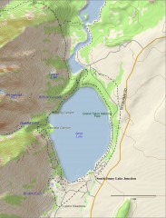
Jenny Lake Hiking Map
Shows hiking trails around Jenny Lake in Grand Teton National Park.
324 miles away
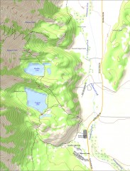
Bradley and Taggart Lake Hiking Map
Hiking map of Bradley Lake and Taggart Lake in Grand Teton National Park. A popular hike and good...
325 miles away
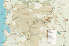
Tillamook State Forest Map
Recreation map of Tillamook State Forest. Over 60 miles of non-motorized trails and 150 miles of...
328 miles away
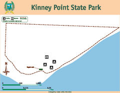
Kinney Point State Park Map
Map of island with detail of trails and recreation zones
329 miles away
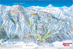
Jackson Hole Trail Map
331 miles away
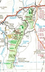
Ruby Mountains Area Map
Included are the communities of Elko, Wells, Deeth, Jiggs, Lee, Lamoille and Spring Creek. Some...
333 miles away

Pacific Crest Trail Map
Shows entire route of 2,650 mile Pacific Crest Trail from Mexico to Canada.
335 miles away
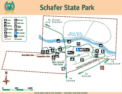
Schafer State Park Map
Map of park with detail of trails and recreation zones
335 miles away
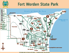
Fort Worden State Park Map
Map of park with detail of trails and recreation zones
335 miles away
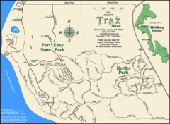
Ft Ebey/Kettle Park Trail Map
Trail map of Fort Ebey Park and Kettle Park, Washington
337 miles away
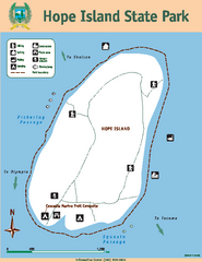
Hope Island State Park Map
Map of park with detail of trails and recreation zones
338 miles away
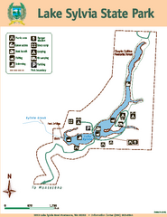
Lake Sylvia State Park Map
Map of island with detail of trails and recreation zones
339 miles away
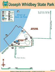
Joseph Whidbey State Park Map
Map of park with detail of trails and recreation zones
339 miles away
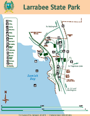
Larrabee State Park Map
Map of island with detail of trails and recreation zones
344 miles away
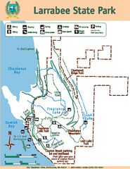
Larrabee State Park Map
Map of island with detail of trails and recreation zones
344 miles away
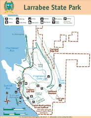
Larrabee State Park Map
Park map of Larrabee State Park, Washington.
344 miles away
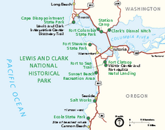
Lewis & Clark National Historic Trail...
Official NPS map of Lewis & Clark National Historic Trail in Oregon-Washington. Shows all areas...
350 miles away
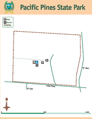
Pacific Pines State Park Map
Map of park with detail of trails and recreation zones
353 miles away
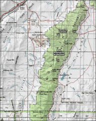
Ruby Mountains Wilderness Map
Overview map of Ruby Mountains Wilderness and Lamoille Canyon
353 miles away
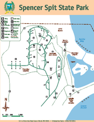
Spencer Spit State Park Map
Map of park with detail of trails and recreation zones
353 miles away
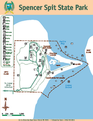
Spencer Spit State Park Map
Map of park with detail of trails and recreation zones
353 miles away
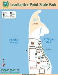
Leadbetter Point State Park Map
Map of park with detail of recreation zones and trails
354 miles away
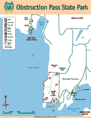
Obstruction Pass State Park Map
Map of park with detail of trails and recreation zones
355 miles away
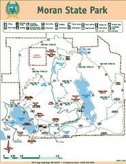
Moran State Park Map
Map of park with detail of trails and recreation zones
357 miles away
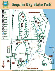
Sequim Bay State Park Map
Map of park with detail of trails and recreation zones
357 miles away
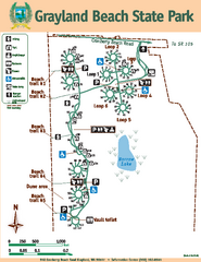
Grayland Beach State Park Map
Map of park with detail of trails and recreation zones
358 miles away
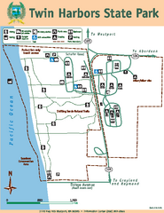
Twin Harbors State Park Map
Map of park with detail of trails and recreation zones
360 miles away
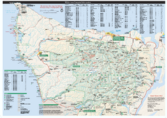
Olympic National Park wilderness campsite map
Official wilderness campsite map of Olympic National Park. Shows roads, trails, visitor...
360 miles away
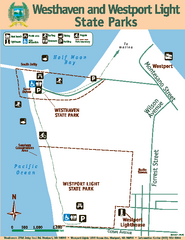
Westhaven/Westport Light State Parks Map
Map of park with detail of trails and recreation zones
361 miles away
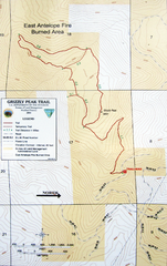
Grizzly Peak Trail Map
Topographic trail map of Grizzly Peak near Ashland, Oregon. Shows trails and distances. From...
362 miles away
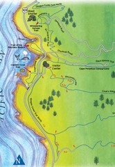
Cape Perpetua Map
364 miles away
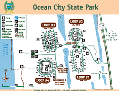
Ocean City State Park Map
Map of park with detail of trails and recreation zones
365 miles away
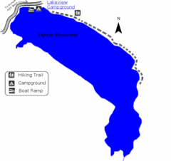
Hyrum State Park Map
Tucked away in Cache County, Hyrum State Park offers many recreation opportunities including...
366 miles away
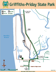
Griffiths-Priday State Park Map
Griffiths-Priday State Park
368 miles away
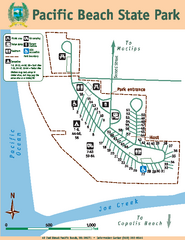
Pacific Beach State Park Map
Map of park with detail of trails and recreation zones
370 miles away
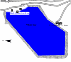
Willard Bay State Park Map
Boat, swim, waterski, and fish on the warm waters of Willard Bay. Camp under tall cottonwood trees...
373 miles away

